7.53 miles 3h 12m ascent 552m
 Glenleith Fell-Scaw’d Law-Durisdeer Rig
With a forecast of upland gales, new walk specifications came into play: not too far from home; no walking across steep sections where being blown over would be dangerous; a significant portion of the walk below the plateau; easy to drop off the tops if the bad weather came earlier than forecast; includes an unclimbed hill or top.
My closest unclimbed Donald hill or top, was Glenleith Fell and it seemed to fulfil the other criteria. The sun was shining as I drove up to Durisdeer which set me wondering if the weather forecasters might have been wrong. They weren’t.
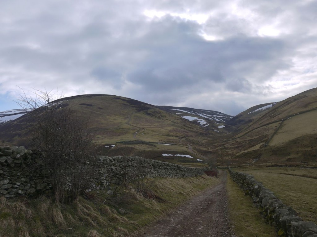
Having parked in Durisdeer I set off down towards the cemetary and turned left onto the road leading to Glenaggart. The remains of snow drifts were still a foot deep at the beginning of the road where they were sheltered by a roadside wall but I could see it was clear further on.
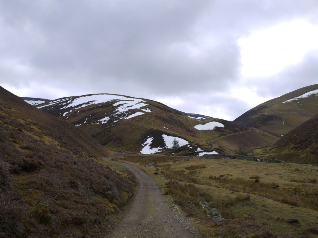
The road became a dirt track but still gave good firm footing as it climbed up Glenaggart, staying 10-20m above the valley floor. A major track heads up Blackgrain Shoulder and several faint quad-bike tracks lead onto Glengap Rig. I had previously used the track up Blackgrain Shoulder when climbing Wedder Law and Scaw’d Law two years earlier.
After a steady climb the Glenaggart track reached a disused building just before Kettletonhead from where a fence runs up Glenleith Fell, offering the most direct route, indeed a route is shown up here on older maps. As I approached this I was tempted to follow the fence rather than following the track. I was expecting to reach Kettletonhead and find myself looking down onto Blackhill Moss but instead found myself looking across a moor filling the area between Glenleith Fell, Garroch Fell and Bellybought Hill, at about 320m.
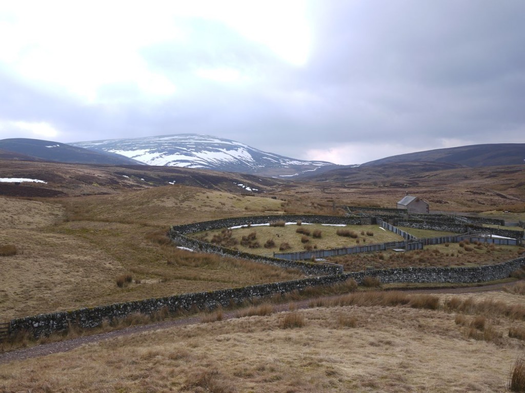
So I decided to stick with the firm footing of the track. There was a collection of sheep pens and a ruined cottage where a track from Kettleton joins. I climbed a wee knoll here to look along Kettleton Glen, but couldn’t see the reservoir yet. The map has a couple of fords along this track but I didn’t notice them.
There was another building, boarded up and locked but with a picnic table at the front about 500m beyond the sheep pens. The track forked there and I followed the branch heading behind the building. This track crossed Blackhill Moss then climbed across the steeper slopes of Glenleith Fell.
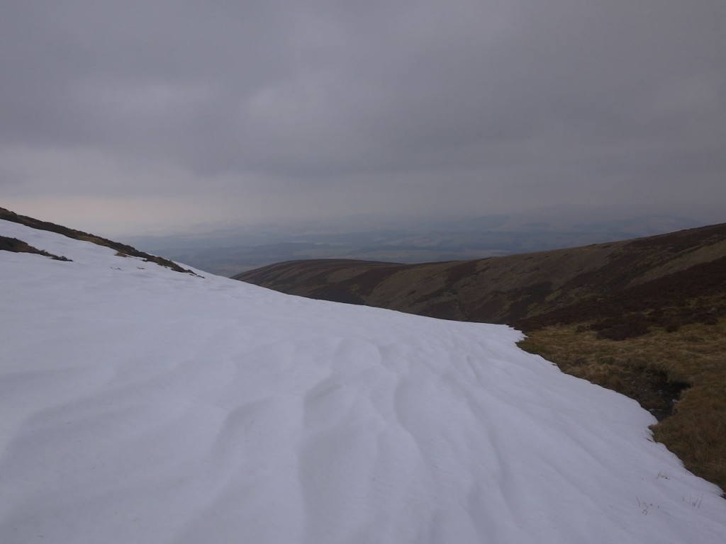
At this track’s hairpin bend, where it came closest to the fence, the track disappeared beneath a snowdrift and beyond that the track ran in a snow filled hollow. It looked as if the track would no longer offer any benefits and the contours were growing wider so I set off directly up over heather and moss. Some meandering was needed to avoid snow filled hollows and it was more effort stepping over the heather, but the hillside was surprisingly dry.
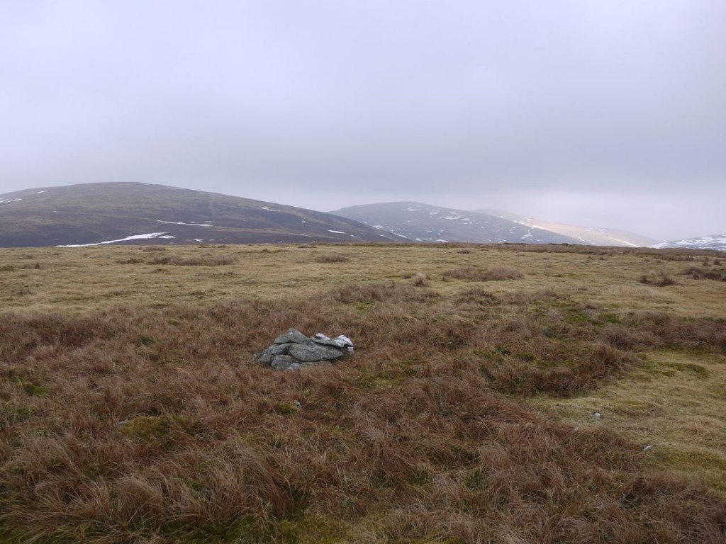
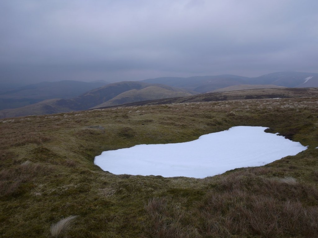
The grassy summit of Glenleith Fell is flatter than the contours would suggest, but there is a cairn which presumably is meant to mark the top. Standing at the cairn it looked as if there were higher sections so I wandered about a little, but whenever I walked to what appeared to be a higher area I found on looking back that the cairn seemed higher.
The wind had picked up a little but could not really be called anything more than a gentle breeze. I could still unfold and fold the map without difficulty. Scaw’d Law, Ballencleuch law and Rodger Law stood in a line to the north, free of snow but merging into mist, whereas Wedder Law, which is a similar height, had plenty of snow on its dark slopes, looking like a dalmatian in reverse.
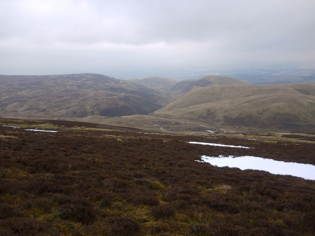
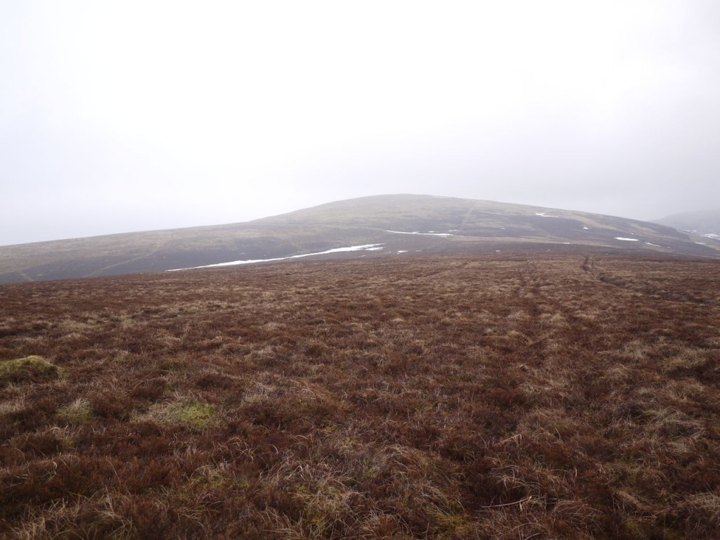
I had intended to return down Glengap Rig back to the Glenaggart track but decided to head across Smuring Hags to the track down Blackgrain Shoulder. The Hags was black with heather, and looked as if it might be boggy but there seemed to be tracks across it though these turned out to be drainage ditches. The ditches looked too straight to be natural, but why anyone would dig drainage there is a mystery to me, and they didn’t seem to drain into anything.
The Hags was in fact easy to cross, the ground beneath the heather was firm and the many pools of stagnant water were easily avoided, and hares, still in white livery, darted across the dark heather. It took 10 minutes to walk from the summit of Glenleith Fell to the track beyond Smuring Hass. So an extra twenty minutes could have included Glenleith Fell in my Scaw’d Law-Wedder Law walk two years earlier, but I hadn’t discovered Donald Tops back then.
Once at the track, now just 60m below the summit of Scaw’d Law, I felt obliged to include that hill in the walk while the weather held out. The last time I was on Scaw’d Law the ground was squelchy, and I can still say the same, which was quite a surprise after the dry firm going on Glenleith Fell.
Scaw’d Law has two bumps vying for summit status. Both carry a 663m spot height but the southern one is the grid reference given in modern lists. I felt obliged to visit both bumps but I couldn’t decide which was higher. Donald himself described the top as a quarter of a mile north of the 2166 feet spot height, in other words the northern hump.
By then, having gone as far as the northern hump, I decided to press on over Little Scaw’d Law and back along Durisdeer Rig, rather than head down to the Blackgrain Shoulder track. It was a little more windy now (care required unfolding maps). The ground was squelchy but not truly boggy.
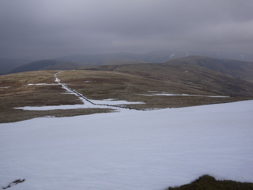
I drifted down from the dyke hoping to get better views and a photo of Durisdeer Rig and found there were a great many hollows like bomb craters, 1-2m deep with rocky rather than peaty sides, some filled with snow. I presume these are shake holes.
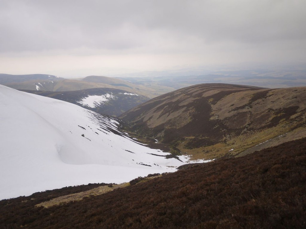
The southern flank of Kirkgrain Hass was covered in knee deep snow making the descent tricky. There was standing water, partially frozen over at the base but I was able to get across close to the fence, though some care was required to avoid reaching for the fence which was topped with rusting barbed wire.
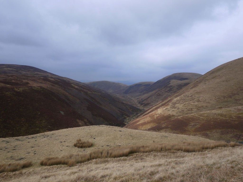
The Durisdeer Rig side of the gully was free of snow and some quad-bike tracks led down. That side of the gully soon became too steep for vehicles and the tracks crossed back to the Little Scaw’d Law side disappearing beneath the snow covering its flank. I stayed on Durisdeer Rig but climbed up onto its flatter section where I came across a faint track which I followed down. The lower slopes of the rig were covered in heather but most of this looked to have been burned in the last season or two so even when the track faded away the going was easy enough. In the distance I could just make out snow covered hills which I think must be those over by Carsphairn.
The final steeper section off Durisdeer Rig has a track marked on the OS but I must have come down a little too far too the east and missed it. I did come across another track that led me back up to it and from there it was all downhill back to Durisdeer.
[osmap gpx=”http://www.screel.co.uk/walks/wp-content/uploads/2013/04/RK_gpx-_2013-04-13_0916.gpx”]

