10.4 miles 4h 5m 364m ascent
Falbae Moor to Mochrum Fell
Mochrum, the ridge of the swine, makes three appearances in D&G. There are two Mochrum Fells (317m, 197m) and a Mochrum Hill (270m). This is the Marilyn, Mochrum Fell (317m), the most easterly of the Mochrums, overlooking Corsock.
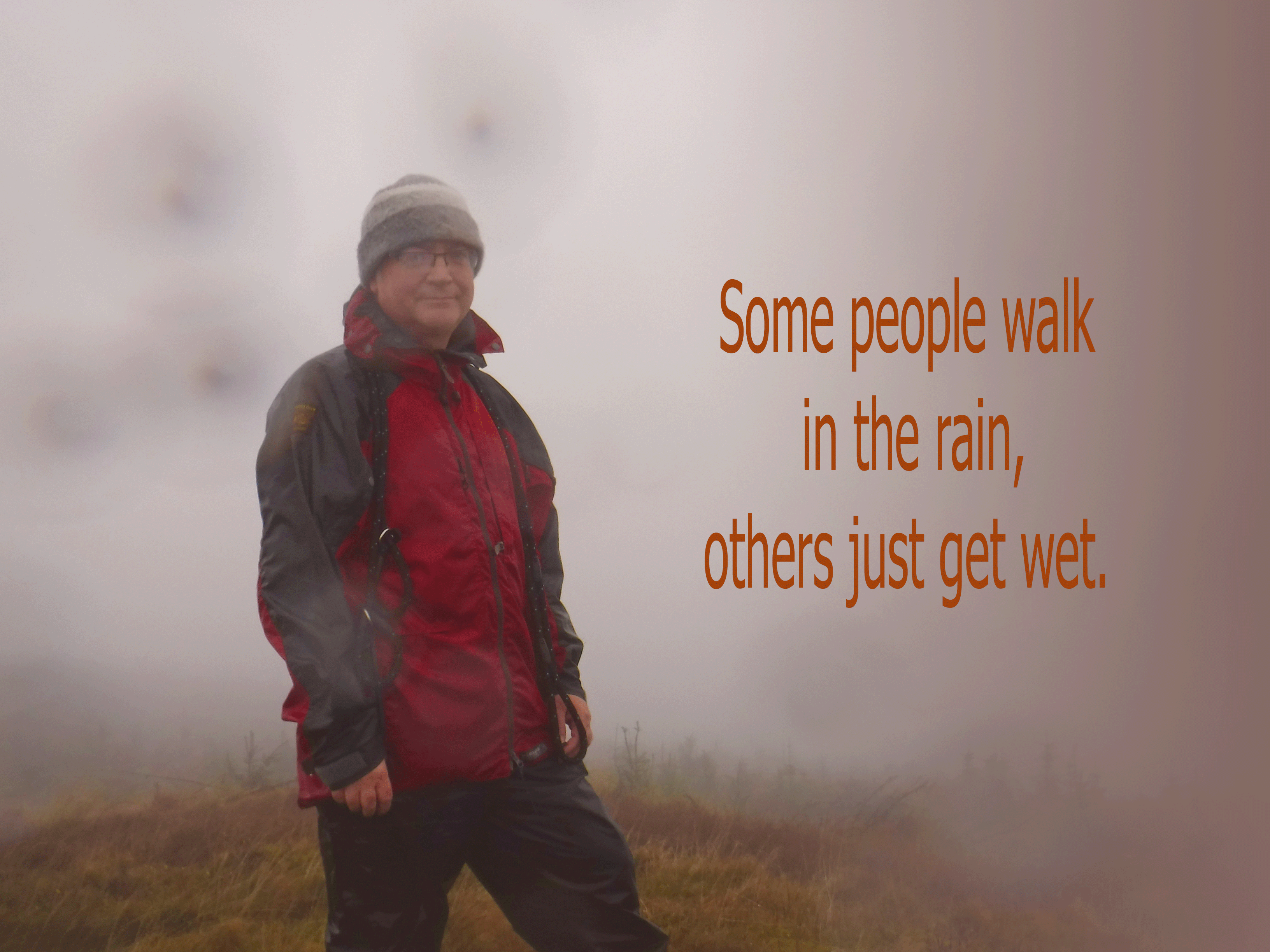
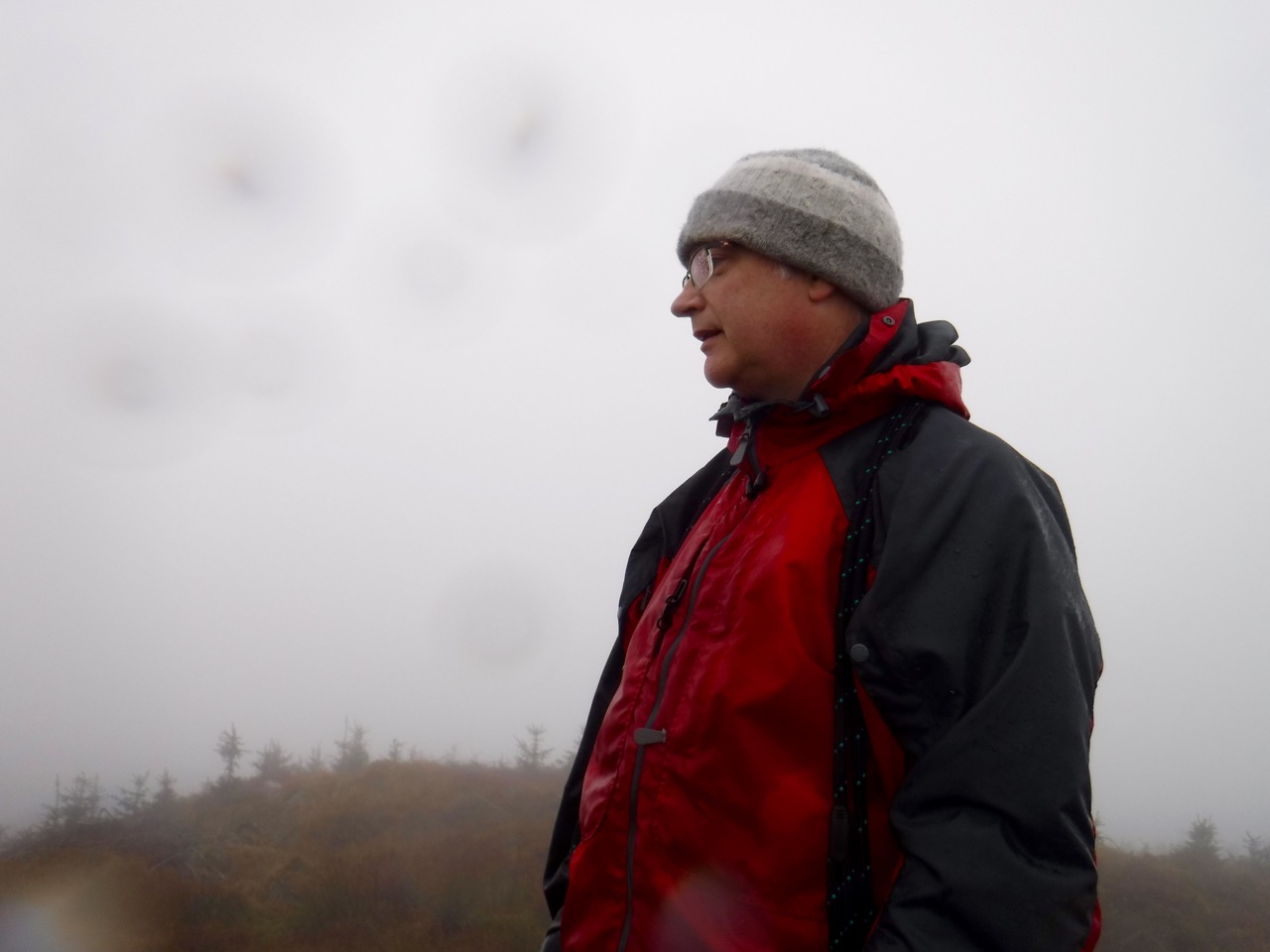
It was a wet day with the light drizzly rain my mother used to say got you really wet. When young I presumed this meant light rain was worse than heavy rain but experience suggests otherwise.
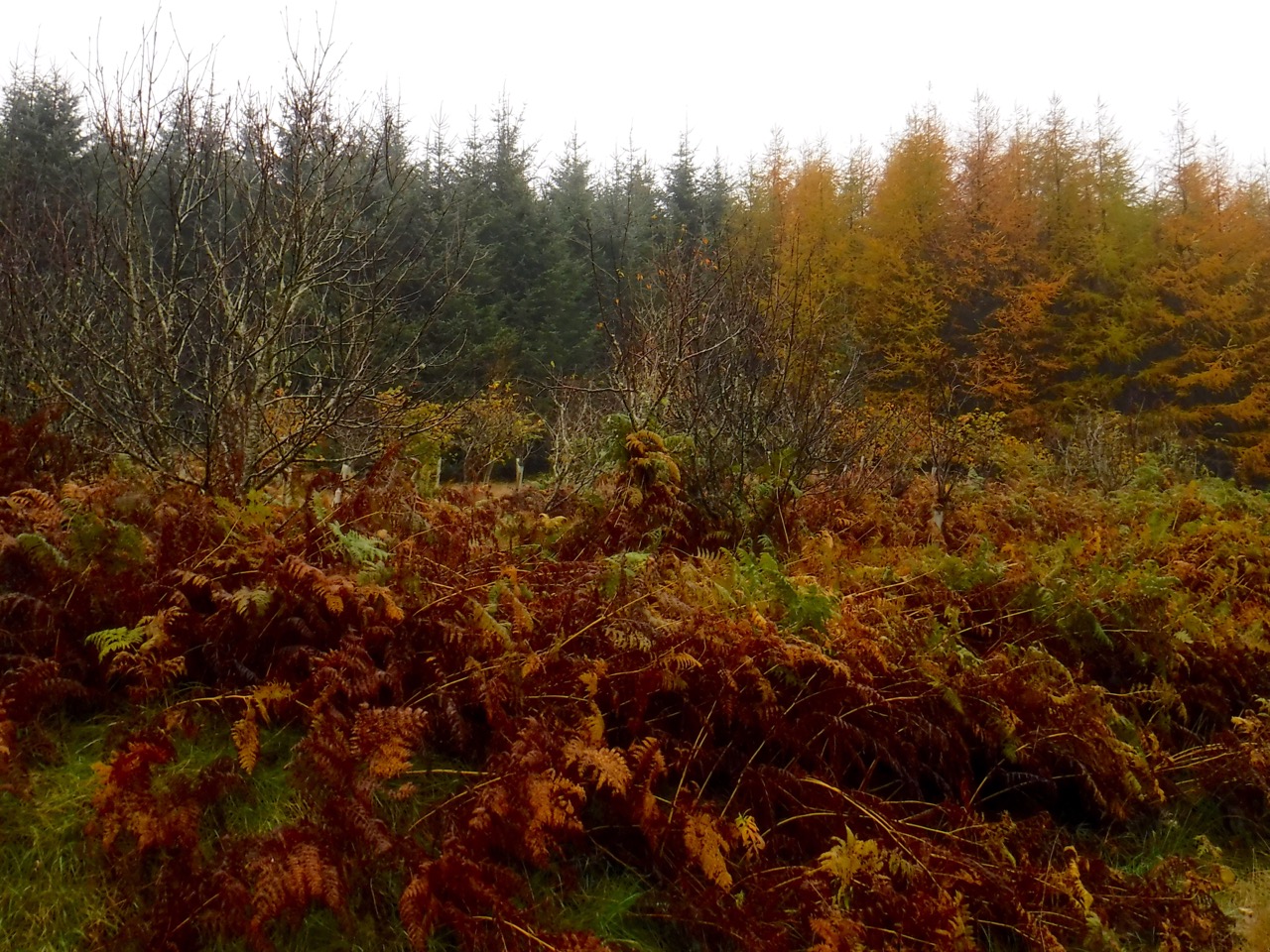
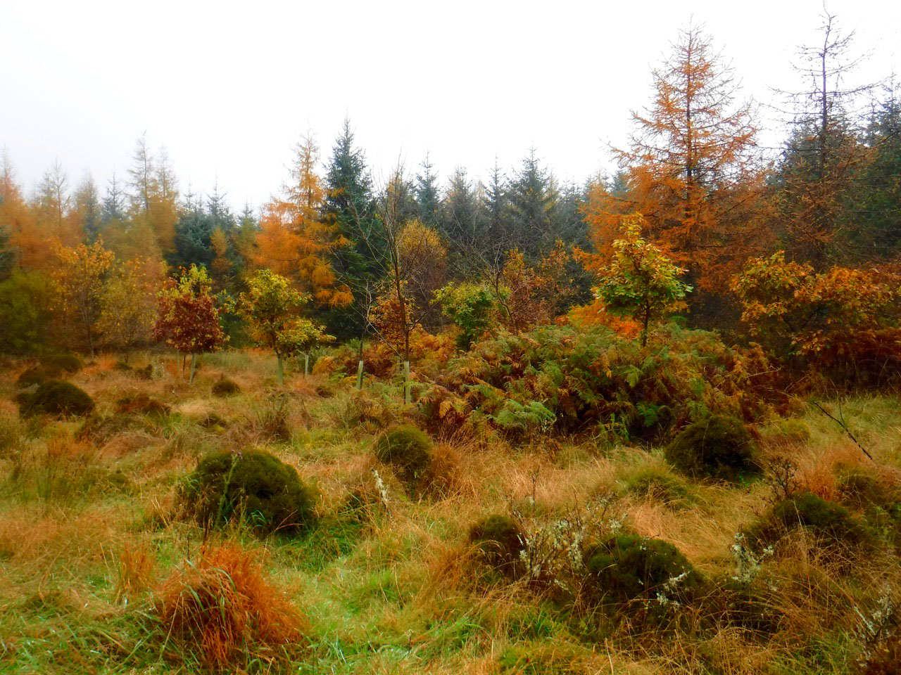
The naming of places hereabouts suggests the area was once moorland, and though some survives, most is now woodland. From the start of the walk I could look ahead where there was woodland to my right, cleared forest to my right and moorland across the road behind me. Much of the woodland is managed conifer, but there are still plenty of broad-leaved trees about to help the larches with their autumn colours.
The first part of the walk is across Falbae Moor on forestry tracks. Falbae is thought to derive its name from pol (stream) and bey (birch) and there are still some birches about. There is a cairn marked on the map, and on older maps it is named as the Falbae Cairn. It now lis within woodland and the track it sat beside no longer exists. I had thought of searching for it later in the day but decided to leave it for another day.
Spruce and larch on Falbae Moor
Autumn’s colours were on show, with quite a variation in the colours in plants as shown in the bracken in the photos above and below. I thought at first that this was to be a walk late enough in the year to be without any wildflowers but some hardy specimens were hanging on. Commonest by far were marsh thistles with small flowers, and here and there there were single plants or stands of dandelion (just one), cat’s ear, yarrow, sneezewort, selfheal (just one), knapweed, ragwort and of course, scabious (looking at bit scabby).
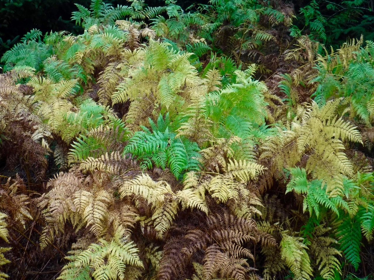
Bracken
After Falbae moor we crossed a minor road and a sign for Barwhillanty Woodlands (the whill relating to hazels, I think, so the hill of the hazels), then across Poundland Moor. Pattiesthorn Low Loch sat below a bend in the track but the High Loch was hidden by the trees. A ridge directly ahead had a lone tree, sculpted by the wind, that disappeared into the cloud as I watched.
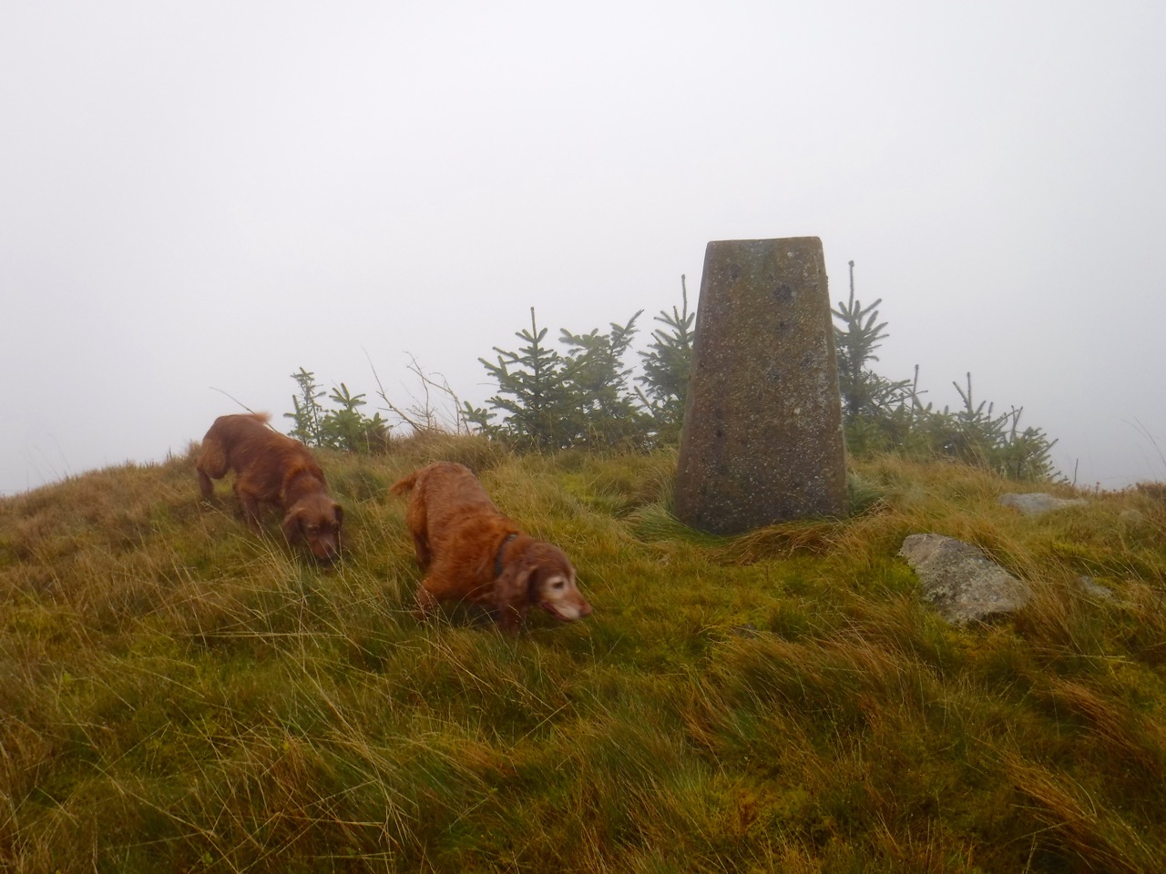
Mochrum Fell Summit
Mochrum Fell’s summit used to be quite a challenge when it stood amongst woodland. Felling has opened up the hill top but there are plenty of young conifers growing now. They are so randomly placed that I suspect they are naturally seeded rather than purposely seeded. Either way, the hill might be a little more difficult in a few years.
My plan had been to walk around Mochrum Fell and take any obvious way up that presented itself. Failing that, once I reached the quarry to the NW of the summit I would find a way through the trees and head up from there, that being the place where the forestry track came closest to the summit. A photo from 2012 had shown a break in the trees, but the trees had grown quite a bit since then and the gap could now be easily missed. By the time I reached Mochrum Fell, the cloud base was low enough that the encircling track at 200m was in mist so I was unlikely to spot any other way up.
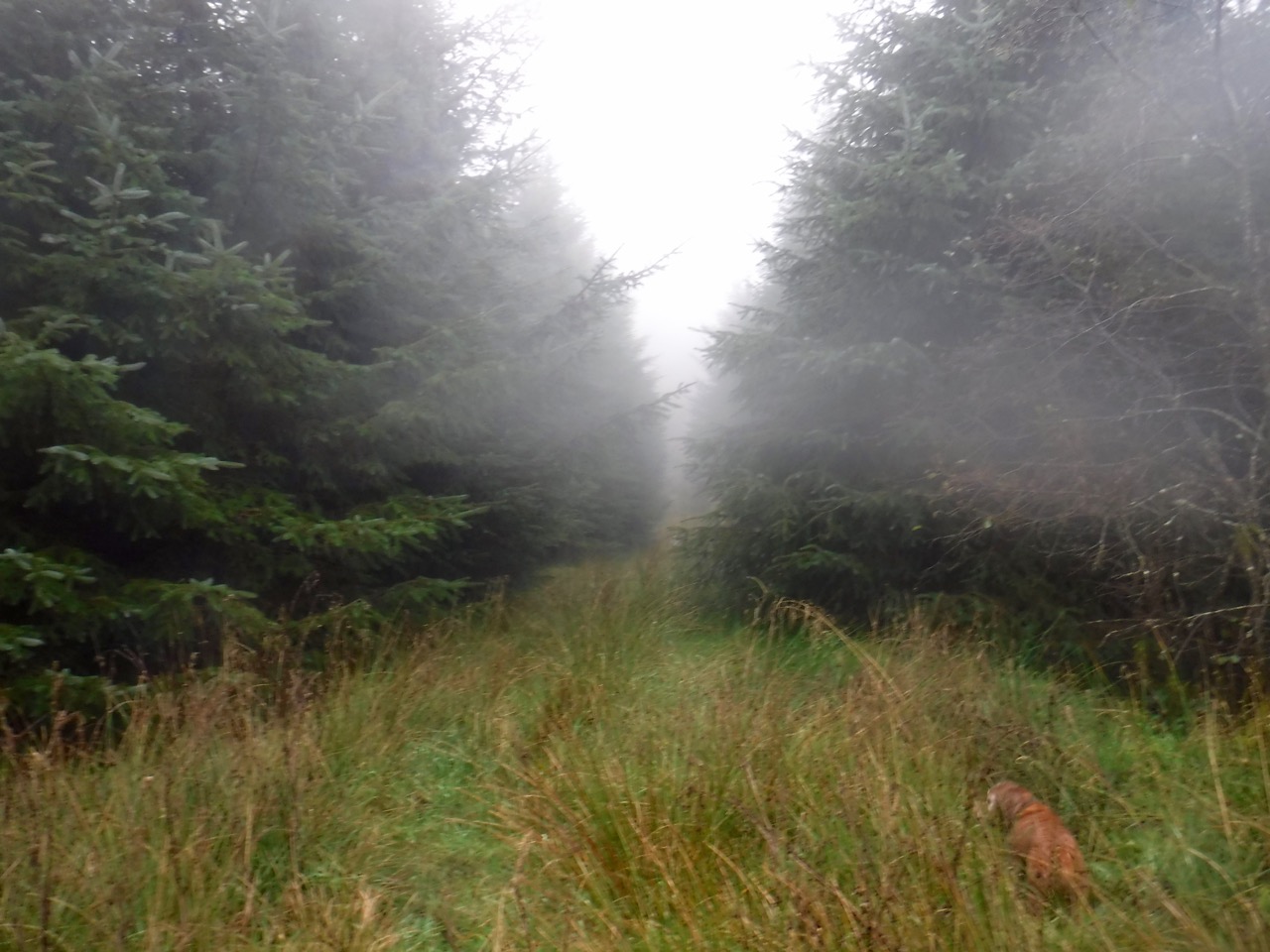
Forest break, Mochrum Fell
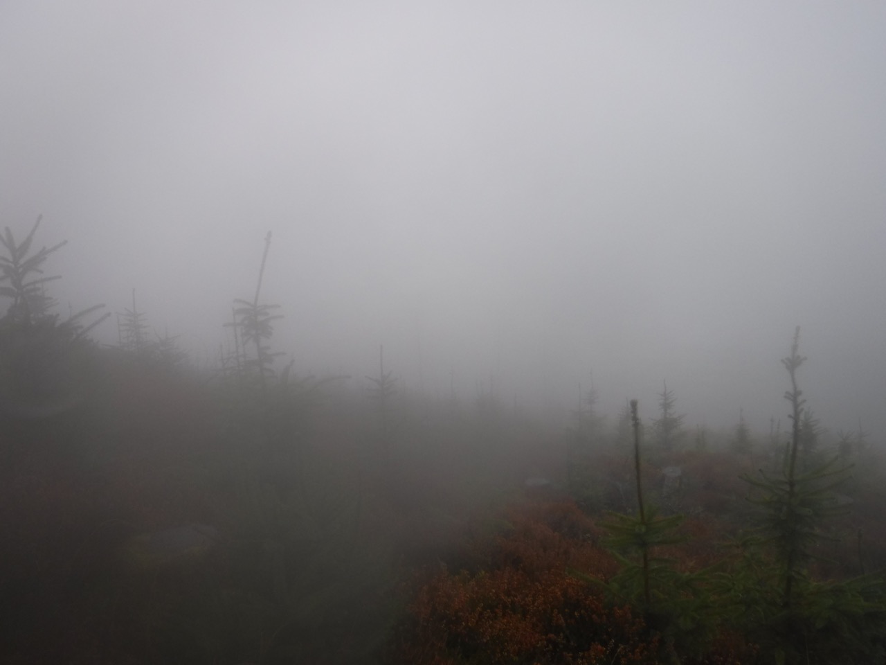
I found the the narrow forest break just past the quarry. It was a little muddy in places and had pools of water hidden in the grass, though the splash of the dogs entering water warned me where to take care. But this was the easy section. The open slopes are cleared/felled, littered with moss covered and slippery branches, pools, mud, etc. Mist hid the top and converted minor knolls into large pseudo-summits, each with an apparent trig pillar which would turn out to be a tree stump.
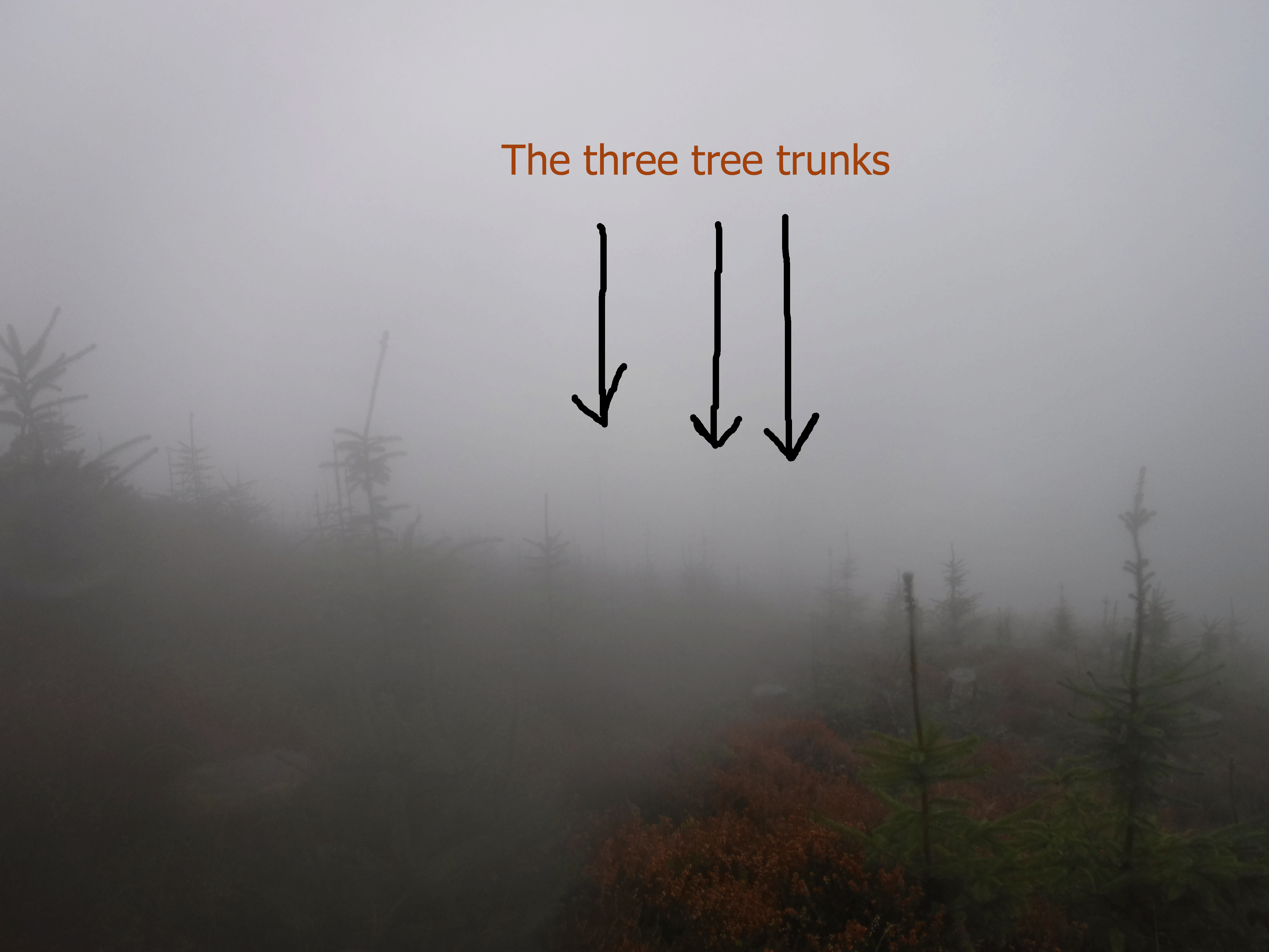
Looking back I realised that the forest break would be difficult to find on the way back so I stood for a while trying to find something that I could use as a guide on way down. I found three bare tree trunks that could be my guide and spent a moment sealing the forest break’s position in my memory. The photo below is looking towards them when they came into view on the descent. The camera’s sensor couldn’t see what my eyes could just make out in the distance.
Mochrum Fell
The original plan was to reach the summit then look down the SW slopes to see if I could descend that way. I’d even carted binoculars all this way to aid me in this. With the mist though, I couldn’t see the slopes so decided to head back the way I had come.
Once back on the forestry track I continued around Mochrum Fell clockwise. I saw the buildings at Mochrum beneath me and took the next fork left in the track, towards Poundland Moor. The autumn colours were a lot brighter here than they had been on the way up, something I put down to a change in light as the day grew older. Then we walked past an old barn that I didn’t remember passing before. How could I have not noticed that? When we came upon a house and outbuildings I realised I was not where I thought I was. This was Mochrum and I must have turned off the encircling track too soon.
I could have continued on via Ardmannoch, which would have been much the same distance but because I ad the dogs with me I decided to stick with forestry tracks and turned back. Back on track we soon found the junction with the track to Poundland Moor. I decided to take a slightly different route through Falbae Moor to walk past the unnamed loch there. A swan watched us from the water and Eddie didn’t know what to make of it honking at him from the water. I don’t speak swan but I think the gist was “don’t even think about jumping in, pup”.
[osmap gpx=”http://www.screel.co.uk/walks/wp-content/uploads/2015/10/RK_gpx-_2015-10-31_0924.gpx”]