
7.2 miles 3h 40m ascent 521m
 Langhaugh Hill-Waddyside Rig-Black Cleuch Hill-White Cleuch Hill-Black Law-Sting Rig
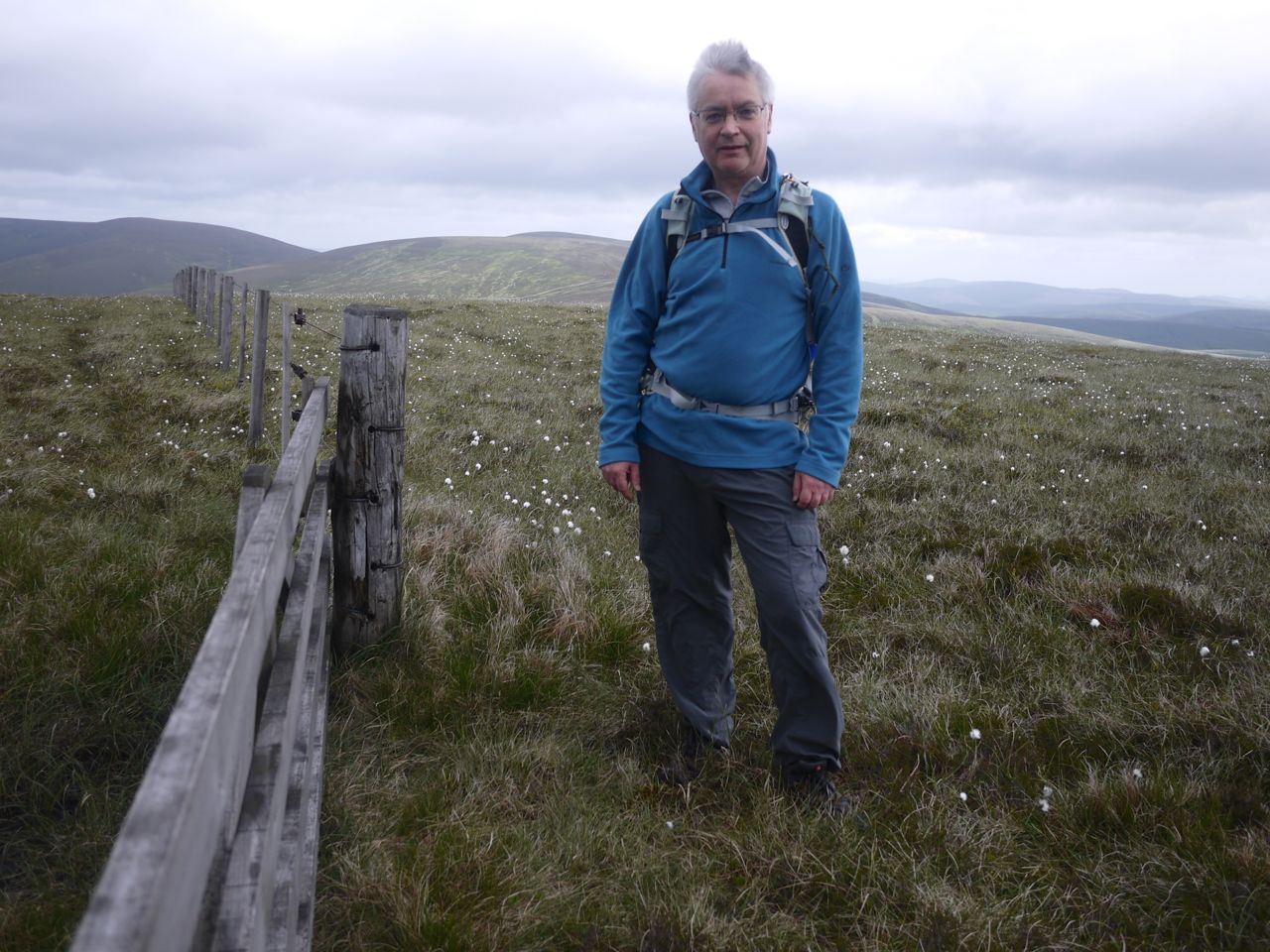
Back to the Manor Glen once more, I parked opposite the mysterious doorway in Langhaugh Hill that may look like the entrance to the Hall of the Mountain King but is actually an access portal for the Megget-Manor aqueduct. This is provided with a handy bridge over the Manor Water. I had planned walking along to the stand of trees about 300m away before heading onto Langhaugh Hill, but the slopes weren’t particularly daunting so I just headed directly up. There were in fact animal tracks through the ferns and it was easy enough to avoid most of the scree.

Speak friend and enter
On the way up I passed a couple of cairns, at about 470m and 5oom, and can’t think why they were there. A little beyond the top of Langhaugh Hill I picked up a faint track that I followed up Waddyside Rig. I call it a track but it was really a gap in the heather where grass fought with sphagnum moss for supremacy. The grass was losing the battle and several sections required diversions around some particularly boggy areas. The track ran below the top of the ridge and by the looks of it contoured round onto Black Law. Since it did not turn towards Black Cleuch Hill, I left it to join the dilapidated fence to Black Cleuch Hill.
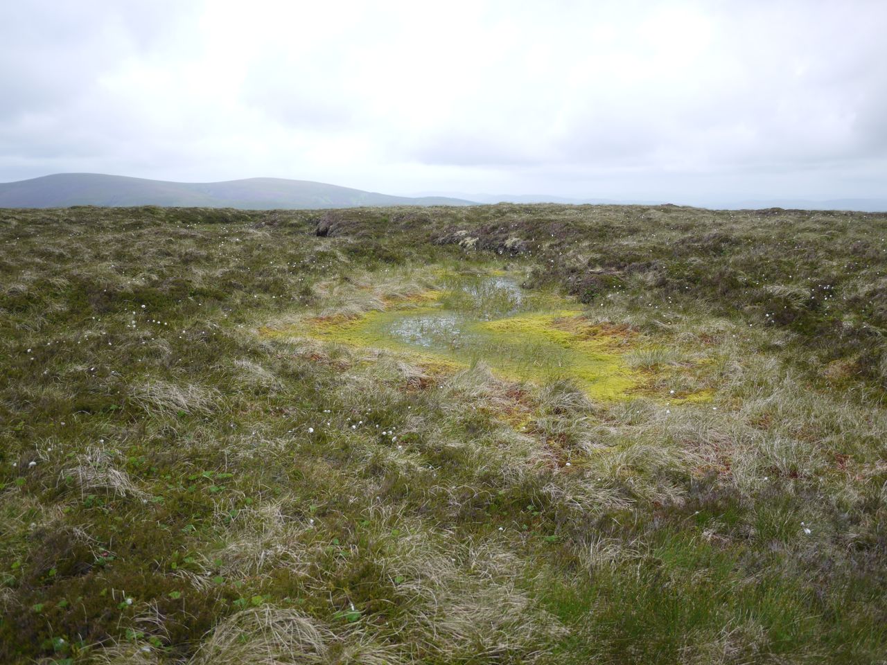
Bogs on Waddyside Rig
The going in this section was harder. The heather was deep, the mosses particularly sodden and the route littered with water filled ditches. It looks as if this had been triggered by vehicles on the fragile peat, but I can’t imagine anything other than tracked vehicles being able to move there. This was to be the terrain for many sections of the walk, not particularly difficult but extra work for the legs. I was surprised by the profusion of cloudberry and was at times walking over huge mats of green leaves amid the heather.

Cloudberry
Black Cleuch Hill, my main target for the day, did not have a definite top so I did my usual wandering about visiting areas that looked higher until I got there and looked back. If I’m ever found collapsed on a hill, the forensics people will review my GPS log and think I had just lost my mind. It would show me walking directly up a hill and then wandering about apparently aimlessly at the top. Amongst the boggy moorland there was not a firm seat to be had for a break so I set off to White Cleuch Hill following the line of the fence where the ground allowed. Coming back I did try the other side of the fence hoping it would be less soggy but neither side was better than the other.

White Cleuch Hill and Glenrath Hills
White Cleuch Hill gave me another look at the Glenrath hills that I’d walked a few weeks earlier, but the day wasn’t one for great views. The visibility was good enough to see the Eildon Hills twenty miles away but it was hazy and overcast turning the hills into silhouettes. By the time I was back to Black Cleuch Hill, Cramalt Craig’s summit was in cloud and Dollar Law soon followed.
Black Cleuch Hill
The walk over to Black Law was easy enough, just 1km of heather, cloudberry and cotton grass and 50m of gentle climb. Shallow parallel trenches run up to Black Law and along to its SW top, and looking back they also ran back up to Black Cleuch Hill. Immediately adjacent to the fence and too straight to be natural my first thought was that they must be vehicle tracks but they were too deep and spaced wrongly. They look more like the furrows you see in forestry plantations.
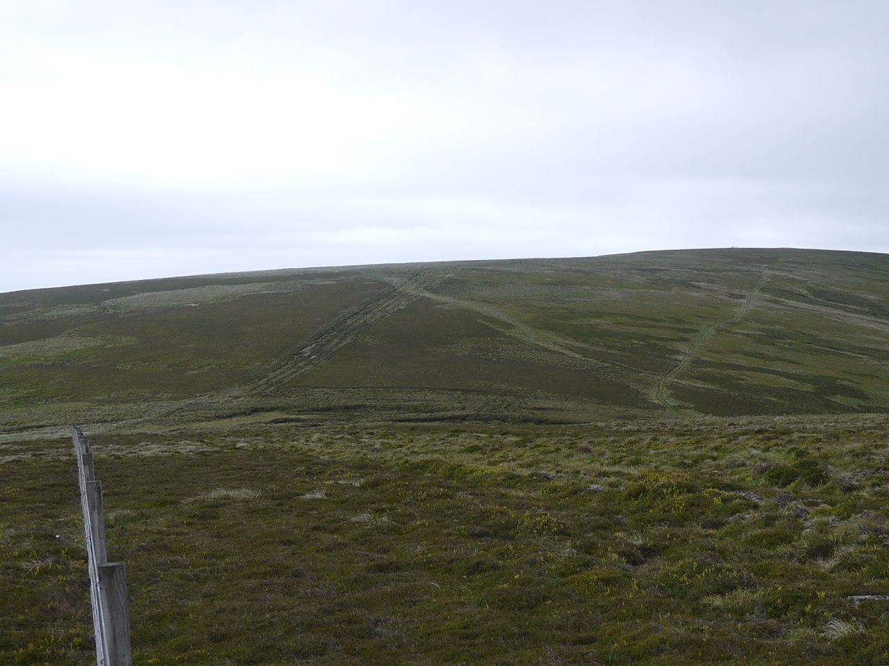
Black Law, with furrows, from Black Cleuch Hill
Blackhouse Heights is sometimes given as an alternative name for Black Cleuch Hill but it is better thought of as comprising Black Cleuch Hill and Black Law’s two tops. The central top of these three is the highest at 698m. A gate stands near the summit and beside it lay a a large log that served well as a seat for lunch. I presume this was a substantial gate post, never used. It was certainly larger than needed for a fence post. The letters GPO 1909 were carved into it, but its condition was too good for it to have lain there for a century.

Moffat Hills from Black Law
The trenches continued along to the SW top where I turned and headed down Sting Rig. Once over the hill’s convexity I could look down the rig and see a track though close up this was less easy to discern. The terrain and vegetation were not too bad though. I was caught out by a hidden hole which swallowed both of my legs to the knees so care was required. On the lower slopes, below a fence and gate I picked up a constructed path and followed that down to a shallow ford on the Linghope Burn.
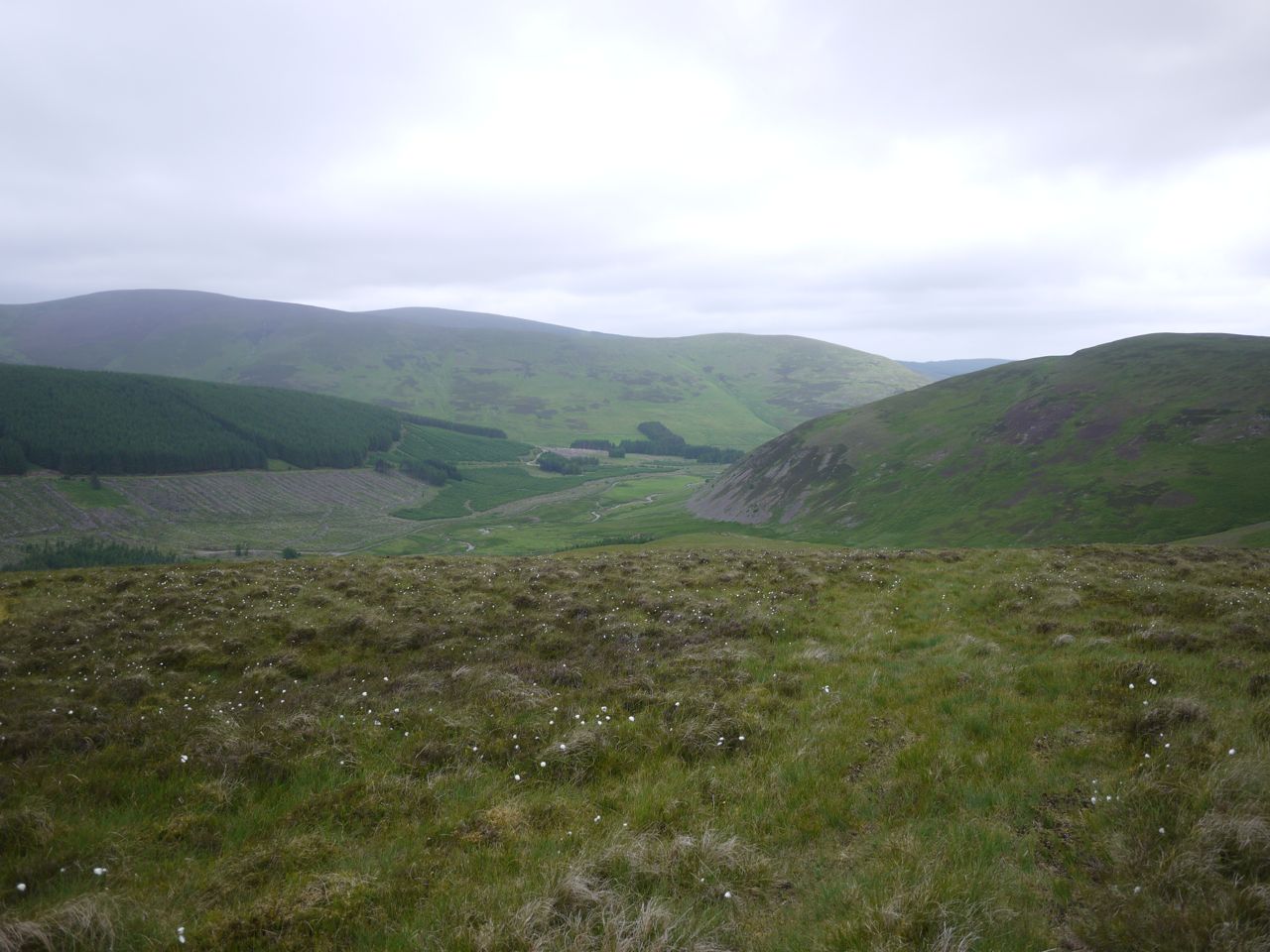
Manor Glen from Sting Rig
There was then a short stretch across a meadow with butterflies dancing about and a wheatear flashing his white rump before I crossed the Manor Water on a wooden footbridge that has seen better days.
[osmap gpx=”http://www.screel.co.uk/walks/wp-content/uploads/2013/06/RK_gpx-_2013-06-29_0950.gpx”]
