8 miles 4h 15m ascent 673m
Culter Fell-Chapelgill Hill-Cardon Hill
The parking place, by the burn, past Culter Allers farm was flooded requiring some careful car placement to allow dry access to the door and boot; and the weather required hat and gloves even in the sheltered valley.
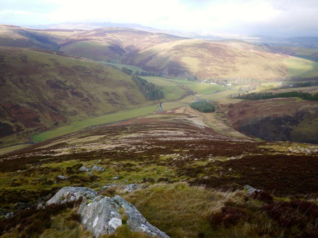
After about five minutes the road crosses Kings Beck and I left the tarmac to climb a rather muddy track. This track looks to have been made by fleeing villains. At some point one of them must have shouted “split up” and from there several fainter tracks head in various directions. I tried to head up Fell Shin as directly as I could while making use of tracks where our directions coincided. I reached the line of Grouse butts at about 350m and then climbed up in line with them. It must be quite a slog lugging guns up there, unless one’s valet carts them up?
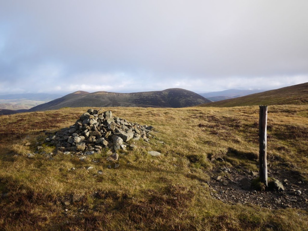
There is a small outcropping of rocks at the top of the line of grouse butts and once there the gradient eases off. Culter Fell has three distinct sections when climbed this way. There is a steep climb through fern then heather up Fell Shin, by the grouse Butts. Next is a gentler walk from 520m to 620m over firm ground with a covering of short heather (which looks to have burned back a season of so ago). The track here was waterlogged and unusable. There is then a short climb to a cairn at 680m. Finally there is a very gentle gradient up to the summit across boggy ground and waterlogged peat, easy on the muscles but demanding of care by those who prize dry feet.
My navigation homework for this walk was to guess distances and climbs then check the map. My estimates are getting better I think.
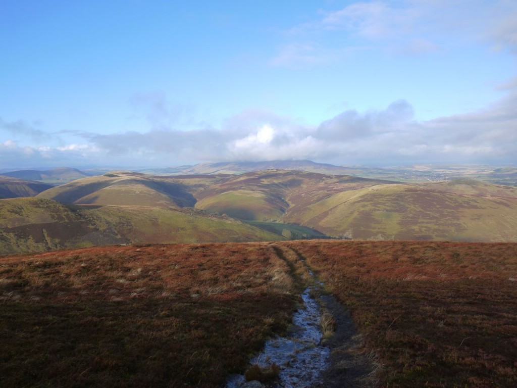
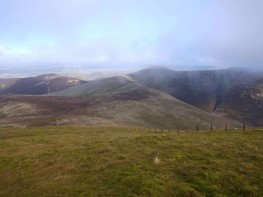
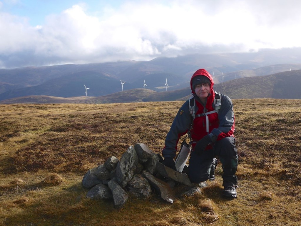
Tinto in the distance was topped with cloud throughout this walk, and Culter Fell’s summit was covered as I approached, but then cleared when I was only a couple of hundred metres away. So I was able to have a good look across to the ridge on the other side of Holm Burn, a future walk no doubt. Looking over to Chapelgill Hill, I could see it was actually a triform hill with Cardon Hill and Chapelgill Hills at its ends and Birnies Bowrock at the apex. There is only 23m between the heights of these summits. The whole hill is connected to Culter Fell, like a dog on a lead, by a ridge made up of Dun Knees and Glenharvie Moss.
The walk down to Glenharvie Moss is on firm ground mostly, but there are muddy sections where the grass has slipped beneath the weight of boots and careful foot placement was needed at times. The Moss is a peat bog and given the recent weather it was wet. The hags here are not too well developed so there wasn’t much hag-hopping to be done. There were squalls of rain visible throughout the day and I crossed paths with a snow producing one here.
On the way up Dun Knees, which by the way has a special resonance for a rheumatologist, I came across a fence not marked on the OS map. This led to a few seconds of navigational doubt until I convinced myself I was were I thought I was. I followed this along to Chapelgill Hill’s summit. There were a couple of small cairns there but I suspect the summit is a small unmarked mound nearby.
I followed the fence back fora short distance but then decided to strike out directly for Birnies Bowrock. A mistake. The vegetation was thicker and deeper with marshy sections so I got back to higher ground which proved easier going. Birnies Bowrock has the biggest cairn of the three summits and I decided to use this as shelter for lunch.
I remain amazed at the additional bounce in my step that a lunch break brings and found myself virtually skipping across to Cardon Hill which stands a good 2m above Birnies Bowrock. As I walked back down to Dun Knees you might guess what happened. My left knee started playing up again. Luckily this coincided with a twenty minute hail storm, mostly blowing straight into my face which acted as distraction therapy.
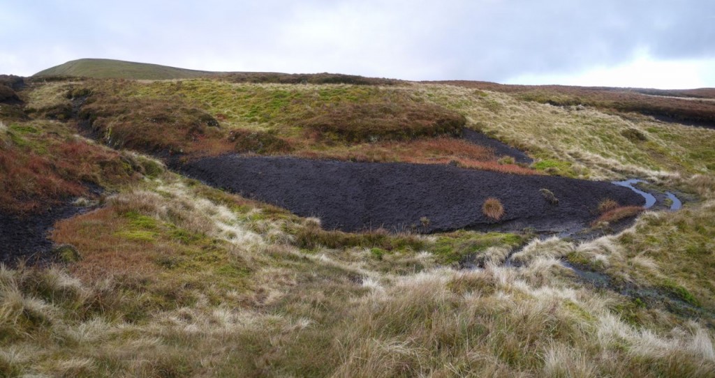
Walking down towards Glenarvie Moss I could see a track climbing along the ridge that led to Park Knowe. This looked to be a way to avoid the hags. I could see a black thing at King Bank Head and headed for that. This turned out to be peat hag that had lost its covering of vegetation. A topless hag. From the topless hag I joined the track but soon enough it disappeared so I headed up to the top of the ridge. This had me negotiating a way across deep hags surrounded by mud. So no jumping off them. I should have continued further along the ridge before climbing up.
Once on the top of the ridge there was a track to follow. This track continues along the ridge but I planned to head down over Juniper Knowes. There was a distinct path heading down that way which made the descent much easier. The stand of trees below Juniper Knowes are pines and some spruce. I didn’t see any junipers.
Once back on the road, the car was only a few minutes away.

