
3.8 miles 1h 45m 178m ascent
Glengap Forest
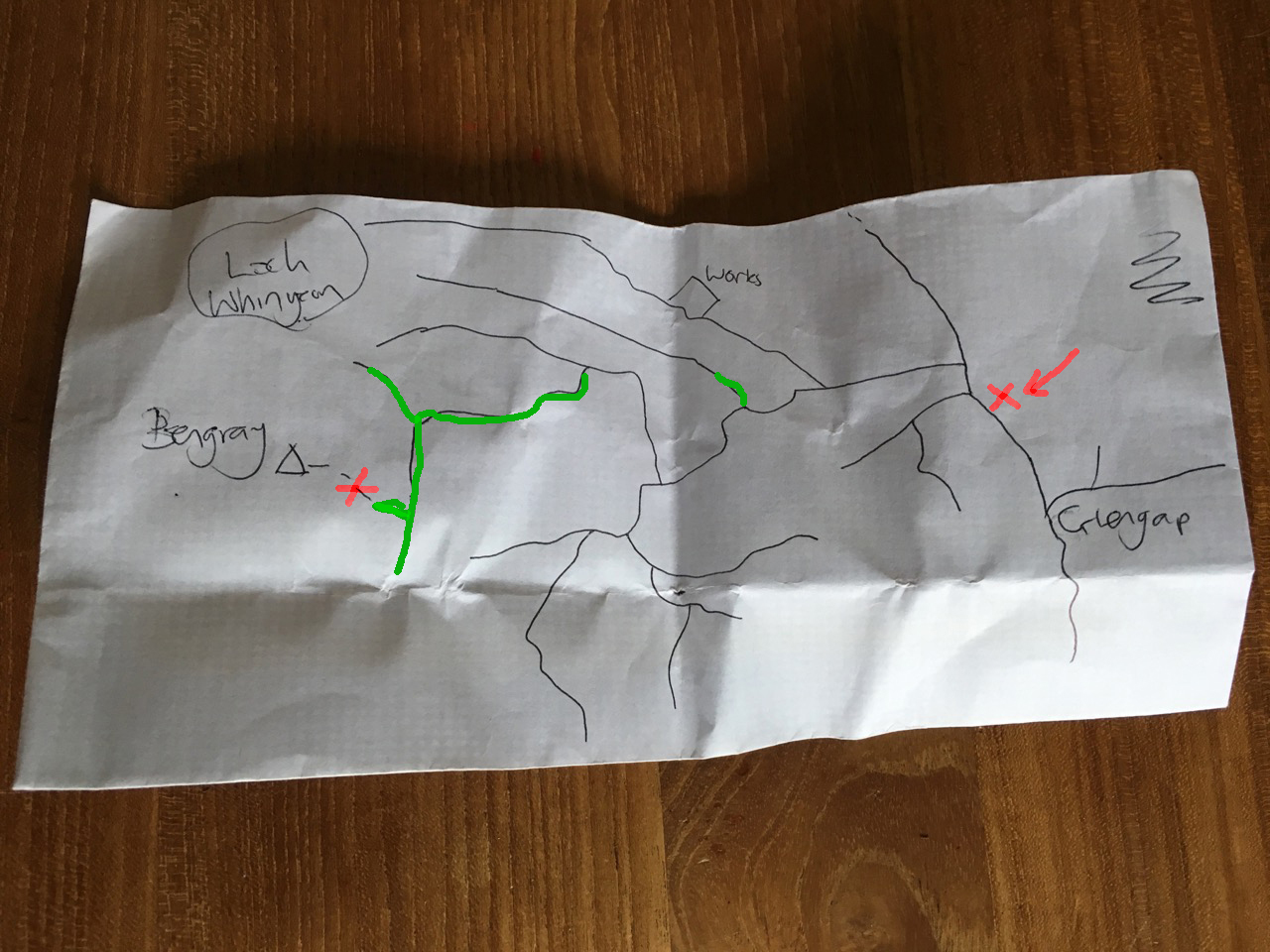
Another wee forest walk, this time in Glengap forest which takes its name from dock leaves. I had drawn out a simplified route on the back of an envelope, using the OS 25k as my source. We started at the X (on the map) near Glengap and set off with the summit of Bengray as our target.
We crossed the Red Nick Burn and followed the forest tracks. The mapped tracks were not always obvious on the ground. We were to take the second left then the third on the right. The second on the left though was difficult to differentiate from a forest break and when we eventually got the the third on the right I was uncertain if it was the third (the forest break having been the second) or actually the second.
The real test was to look out for the track on the left after a left hand turn in the path. On we walked unable to see anything but trees around us wondering if we were on the the correct track of the one running parallel to it. The map wasn’t much help because the parallel paths had the same ups and downs and crossed the same minor streams.
We walked past an opening to our left and I wondered aloud if that was a path but we looked along it and discounted it as a forest break.
A change of plan was needed so we decided to continue along the track we were on, which should have led us to within a couple of hundred metres of Loch Whinyeon no matter which path we were on. We could then decide whether to retrace our steps or head up Bengray from the Loch.
So on we went, for about another 200m before the forest track we were on came to an end with no obvious way on through the forest. This is very different from the appearance on satellite views on google maps, so the old track must have become overgrown. we turned about and headed back the way we had come.
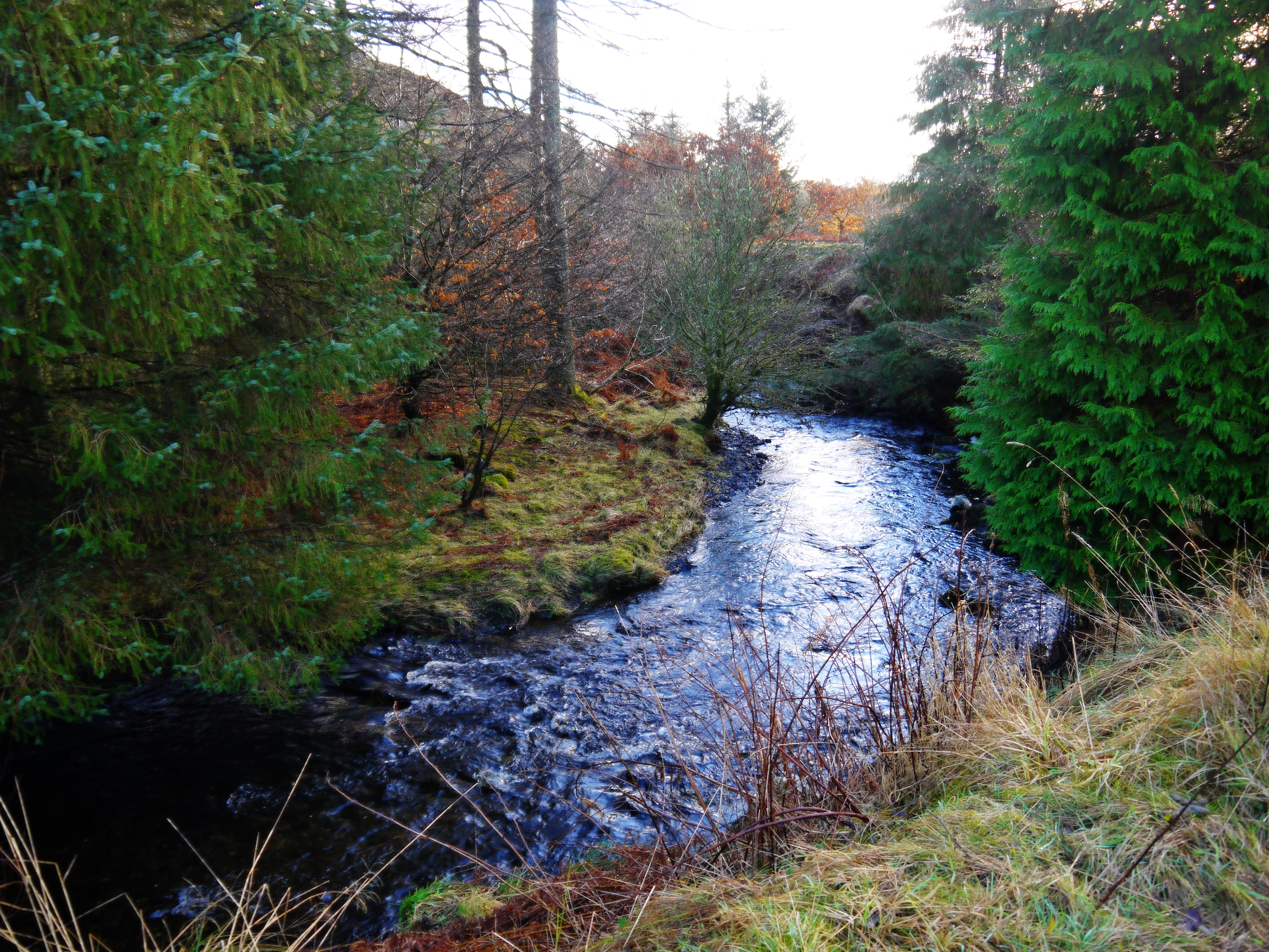
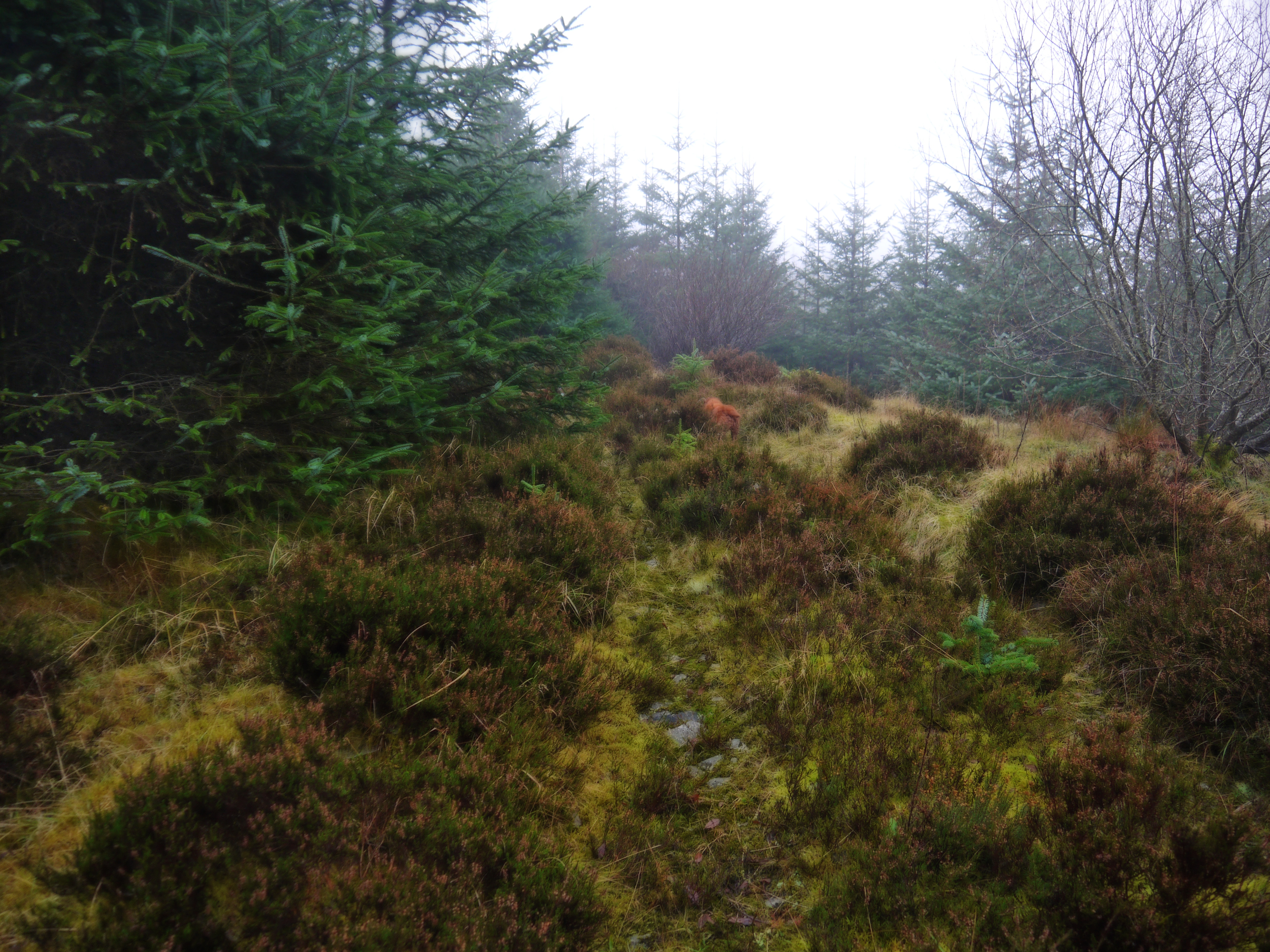
The “forest break” we had passed tempted me and we decided to see how far it went. It soon became clear that this was the path we were looking for but it was now quite overgrown. The photo below is a little further along on a section where the old path could be made out. In other sections you wouldn’t know you were on a path.
The sections highlighted in green on the map at the top are heavily overgrown.
The OS 50k shows a route up to Bengray, but we did not find it. When the overgrown track eventually gave up the ghost, we tramped through boggy ground and then up a steep section through old bracken. We were then in mist and the going became increasingly difficult. Once up the steep slope we found ourselves still quite a way from Bengray’s summit with very uneven rough heather covered ground to cross.
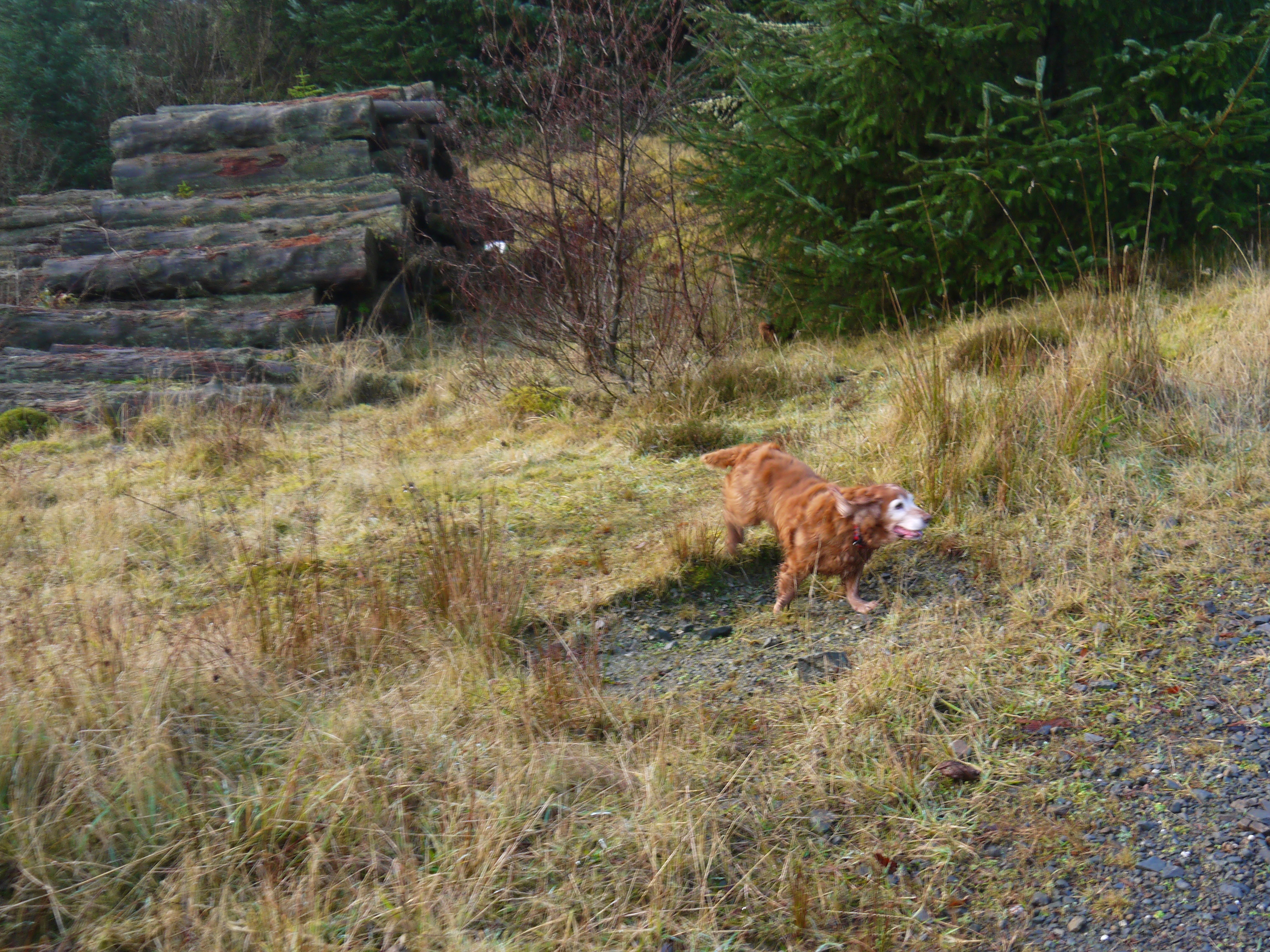
I decided that with my dodgy knee I would turn back and Audrey agreed with the plan. I could have used Sweep, poor old dog, as an excuse but he actually seemed to by managing the heather OK.
[osmap gpx=”http://www.screel.co.uk/walks/wp-content/uploads/2017/01/RK_gpx-_2017-01-07_1016.gpx”]
