
6.2 miles 2h 40m 355m ascent
Loch Trool Circular
After the wildness of Loch Trool we had a country of plenteousness and peace. (The Heather Moon)
Stricken with the flu then cursed with a dodgy knee, I had been out of action for a few weeks so other than short walks with the dogs I had gradually lapsed into unfitness. This outing was to gently ease me back into regular walking.
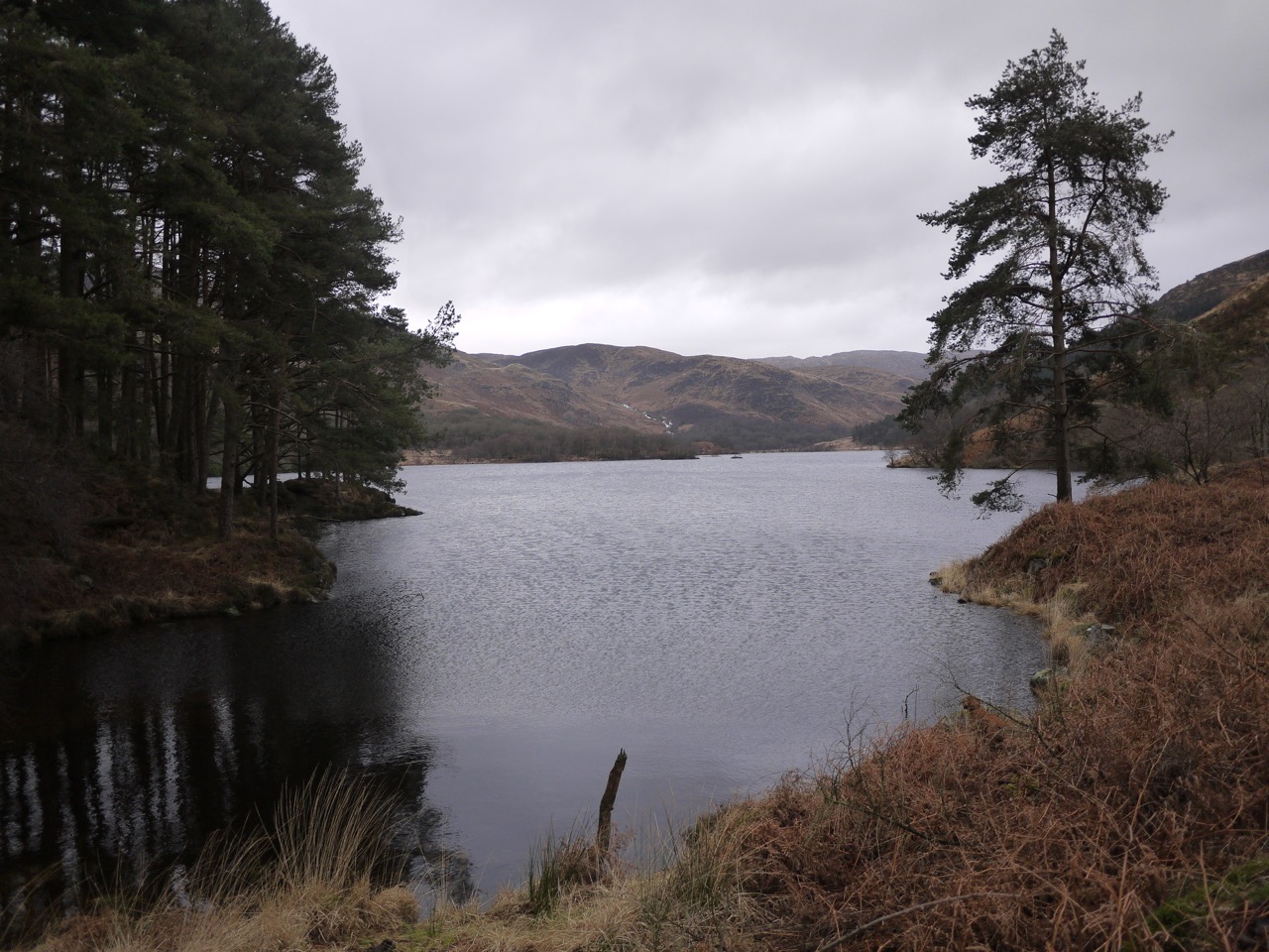
We found a surprising number of cars at the Caldons car park, given it was a weekday, but only saw other walkers a couple of times and then only in the distance. Caldons still has the look of a campsite with its paths and hard stands, albeit without any caravans or tents. Trees still stood over the old campsite but once we had crossed a couple of small footbridges the canopy was gone. Audrey had forewarned me that the forestry had been felling by the loch. She had been turned about and sent away by the loggers the last time she tried to walk here. I was still quite surprised how much it had changed.
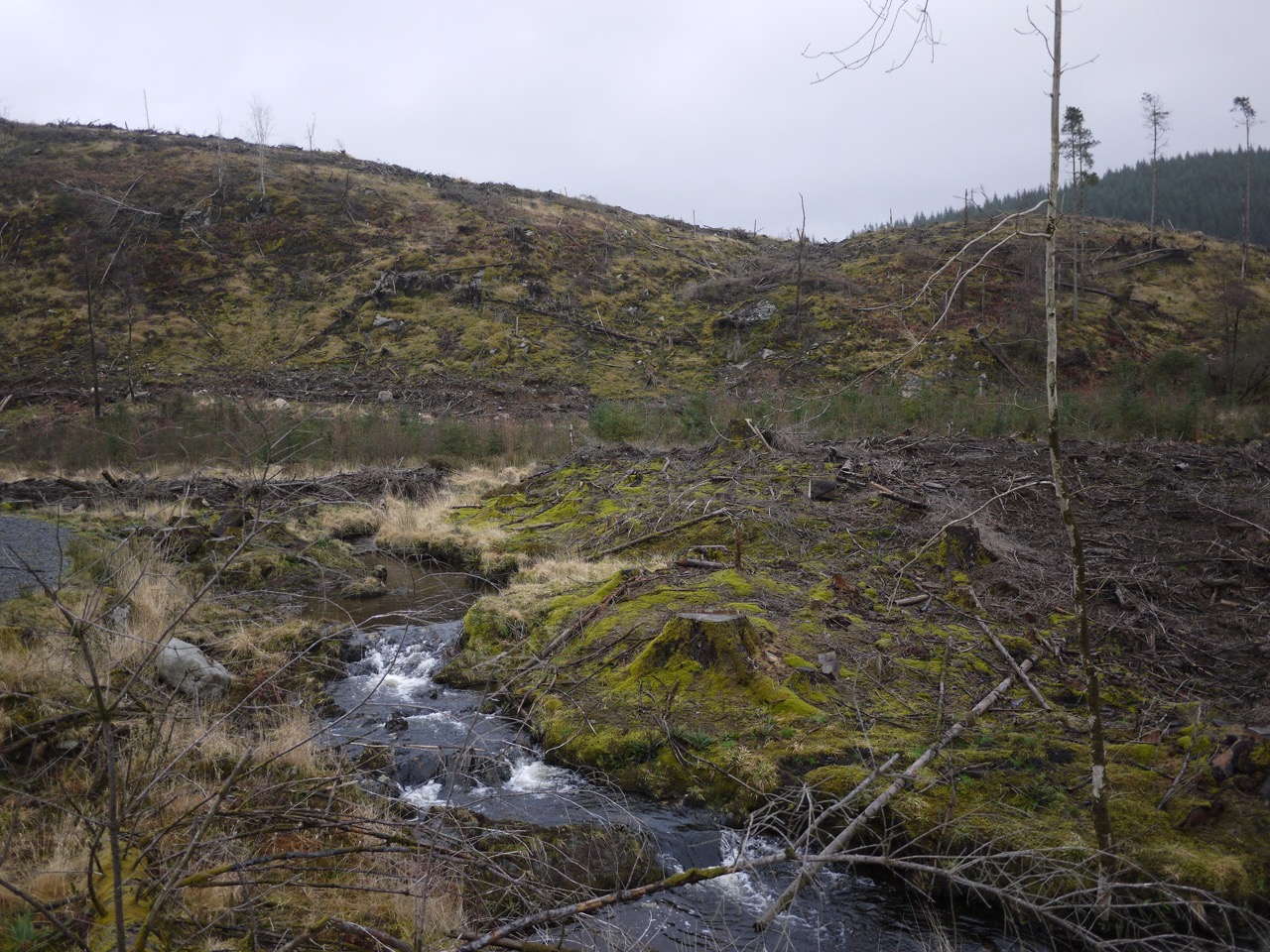
Newly felled forest by Loch Trool
The slopes beside the loch’s southern bank are now open, the trees gone, leaving the usual mess of broken branches and tree stumps. I think the experience of walking in a more open setting is quite different from walking in a forest. Even though one can glimpse more distant features through the trees when walking in forest, I find myself looking at closer features, the moss on tree trunks and the path itself, whereas with the trees gone, my eyes are drawn to the hill-side slopes and the hills.
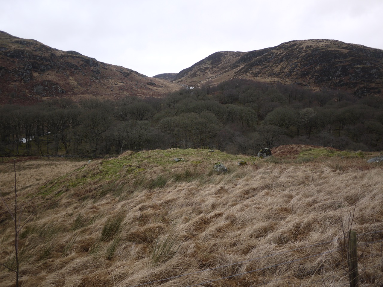
Trool stone circle?
I found myself wondering how long it might be before the ground is re-planted, and if it will be more conifers or perhaps the broadleaved trees that had lent their names to nearby features (Caldons/calltun/Hazel, Ringielawn/leamhan/Elm, and Drumnaminshoch/uinnsean/Ash). I seem to remember reading that the forestry commission work on a sixty year life cycle for pine but longer for broadleaved trees, with a couple of years left between harvesting and replanting. That said, I am sure I have seen plenty of areas which have been left longer without re-planting.
A couple of stands of tall Scot’s Pine have been left beside the loch, the second beside the tiny bay in the photo at the top of the post. I have a feeling as well that the path has been re-layed, but I can’t be sure. The SUW info sign about the Battle of Glen Trool seems to have gone with the trees, but as we reached the eastern end of the loch there we found ourselves back amongst trees.
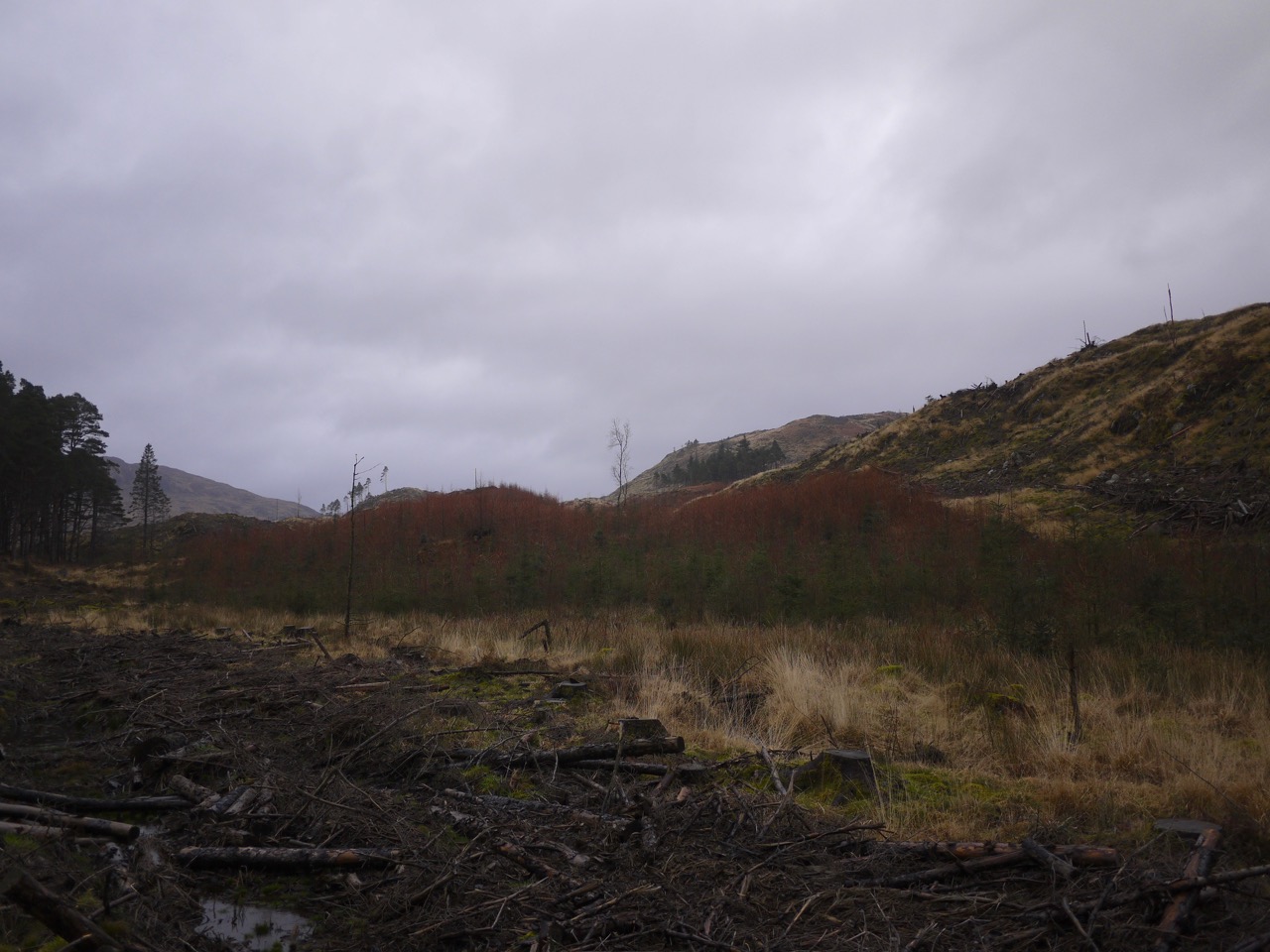
Young conifers
Spring isn’t yet showing itself except perhaps for some subtle features. A stand of young conifers was a mixture of bright green, spruce I think, and some slightly taller orange trees which might be larch. I don’t think these are as orange in the winter and the more intense colour seems to come as the years new growth starts. Looking across the loch, as seen in the picture above labelled “Trool Stone Circle” there are trees across the glen of the Giarland Burn, and though it is not obvious in the photograph, the upper trees have a purple hue due to new growth.
The path winds climbing and falling above the loch often giving great views of the opposite hills with white ribbons of water tumbling down the Buchan and Gairland Burns.
The bog myrtle was beginning to make itself known beside the path, its purplish brown buds standing out against the pale yellow of the grasses. I crushed a bud for its sweet smell and after that I was sure I could smell it on the wind as we walked by more of the plants.
A small knoll close to the eastern end of the loch had what appeared to be a circle of stones, but I cannot find any record of a stone circle here so presumably these are just boulders that happen to look like a circle rather than a man-made artefact. (Edit: It looks as if this might have been the ruins of Ferrachbae, yet another name involving a tree, the trysting place of the birches, bey.)
Missing bridge at Glenhead
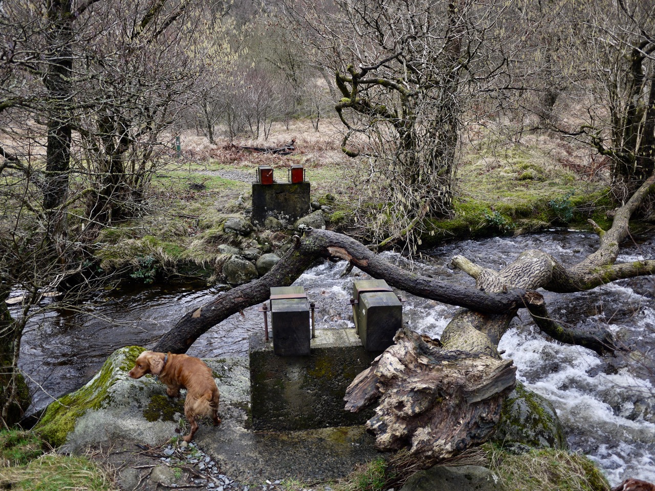
The small footbridge at Glenhead is no longer there, but a twisting tree trunk crosses the water for the more adventurous explorer. I would have used it but what with my dodgy knee I decided to walk the extra hundred yards to the vehicle bridge.
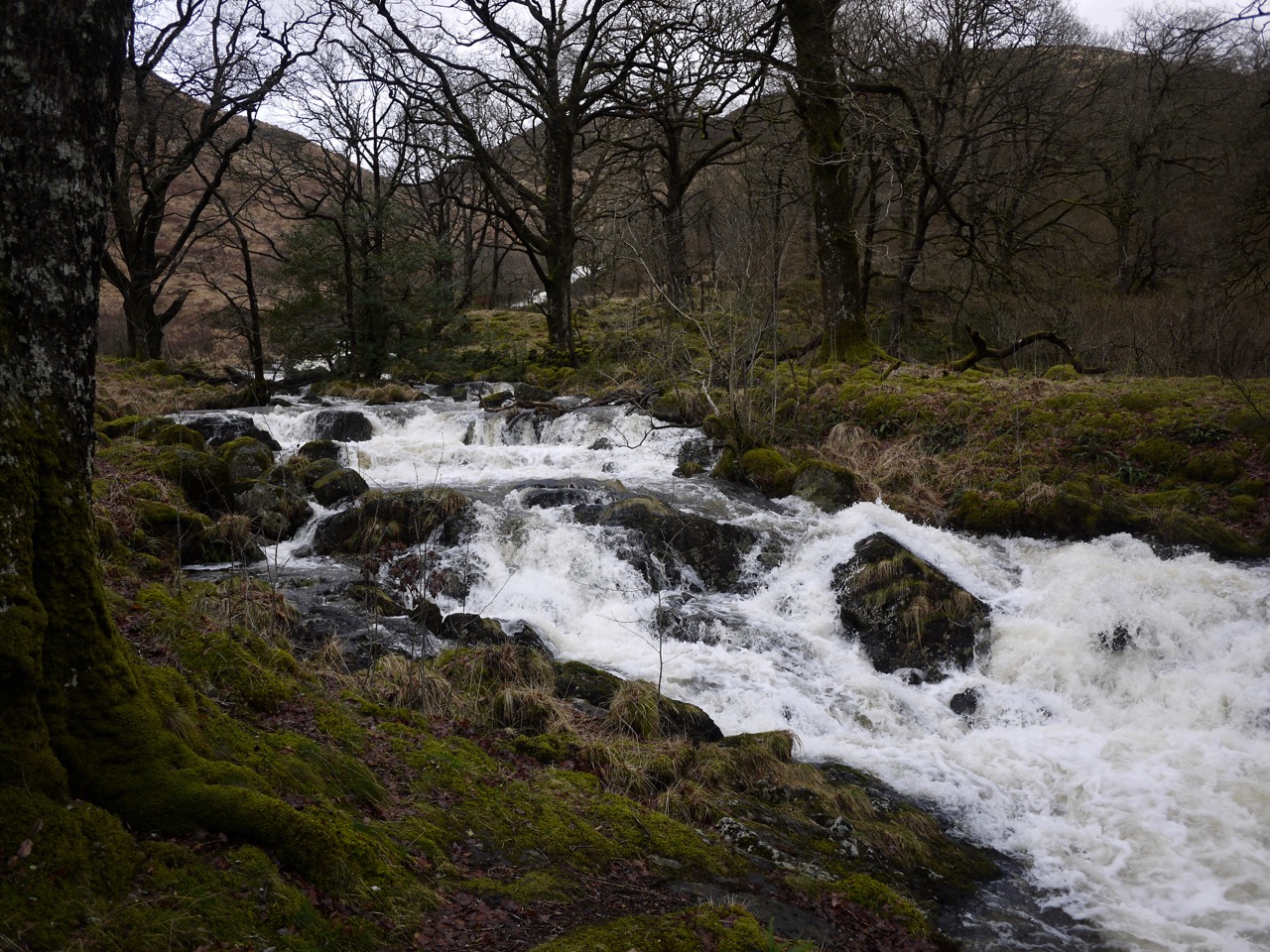
Gairland Burn in spate
We could see the Gairland Burn in spate from early in the walk, white against the brown of the hills, and once we reached it it was truly roaring.
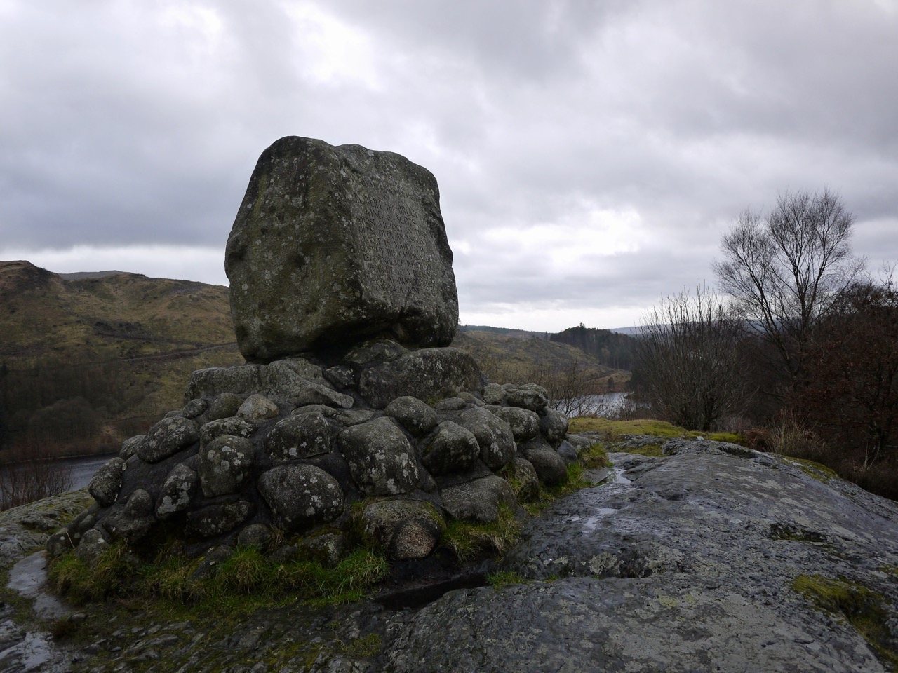
Bruce’s Stone at Loch Trool
And we couldn’t walk by Bruce’s Stone without a visit. The inscription recalls Bruce’s victory in the Battle of Glentrool.
“In loyal remembrance of Robert the Bruce, King of Scots, whose victory in this glen over an English force in March, 1307, opened the campaign of independence which be brought to a decisive close at Bannockburn on 24 June 1314”
Bruce’s Stone at Loch Trool
After the monument we were on road for a little while but were soon back on a footpath down to the western end of the loch. A couple of years ago we sat by the loch here eating our lunch, listening to the loud chattering of swallows as they danced across the water. No swallows in February though. And a bit chilly to stop for sandwiches.
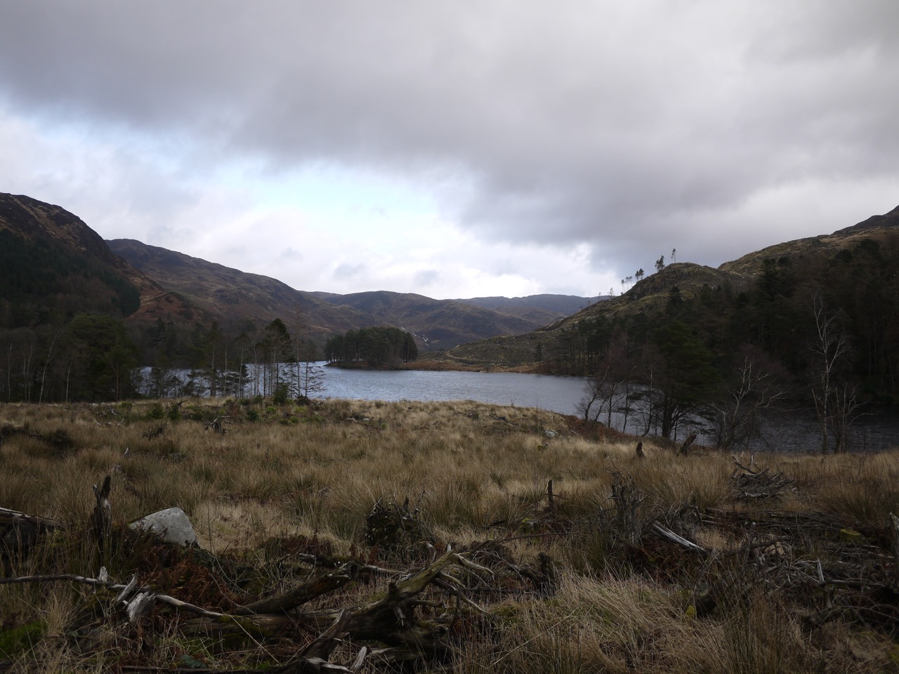
Western end of Loch Trool
A pleasant walk, a little different than my other visits here but my knee held up, until I sat down at home to type this, when it stiffened leaving me hobbling about.
[osmap gpx=”http://www.screel.co.uk/walks/wp-content/uploads/2017/02/RK_gpx-_2017-02-22_1048.gpx”]
