
12.5 miles 4h 45m 360m ascent
Loch Howie and Loch Skae circular then Margree circular
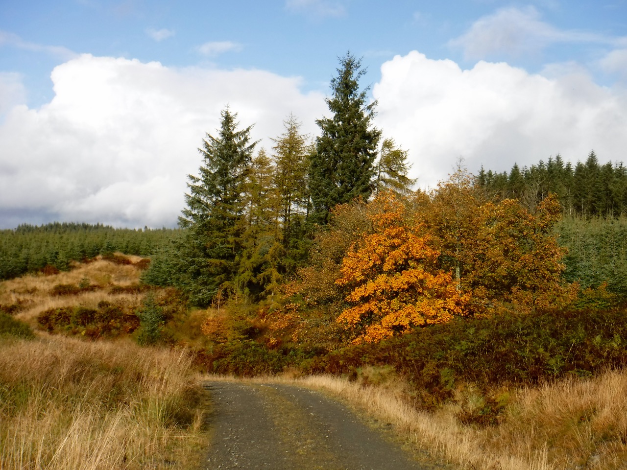
As the photograph below shows it was a bit of a wet start. There were two signs by the road, the first read “Path: Loch Howie and Loch Skae Circular 4.5”, and the second “Path: Margree Circular 4”. With information such as that I didn’t expect it to be a 12.5 mile walk. I did do the first section as a figure of eight, adding about a mile, but the Margree circular was over 6 miles.
This was a forest walk with little in the way of specific places to visit and it would be easy to think of it as boring if one didn’t take an interest in the plants, trees, and water. Wildflowers were very much on the wane but autumn leaves were everywhere to see and there were plenty of toadstools, including some Amanita muscaria, dotted about.
The bracken’s colours are now past their best and as the leaf fronds shrivel away their light green stems are revealed. Stands of nettles on the other hand have turned black. The grasses though are now turning yellow and orange.
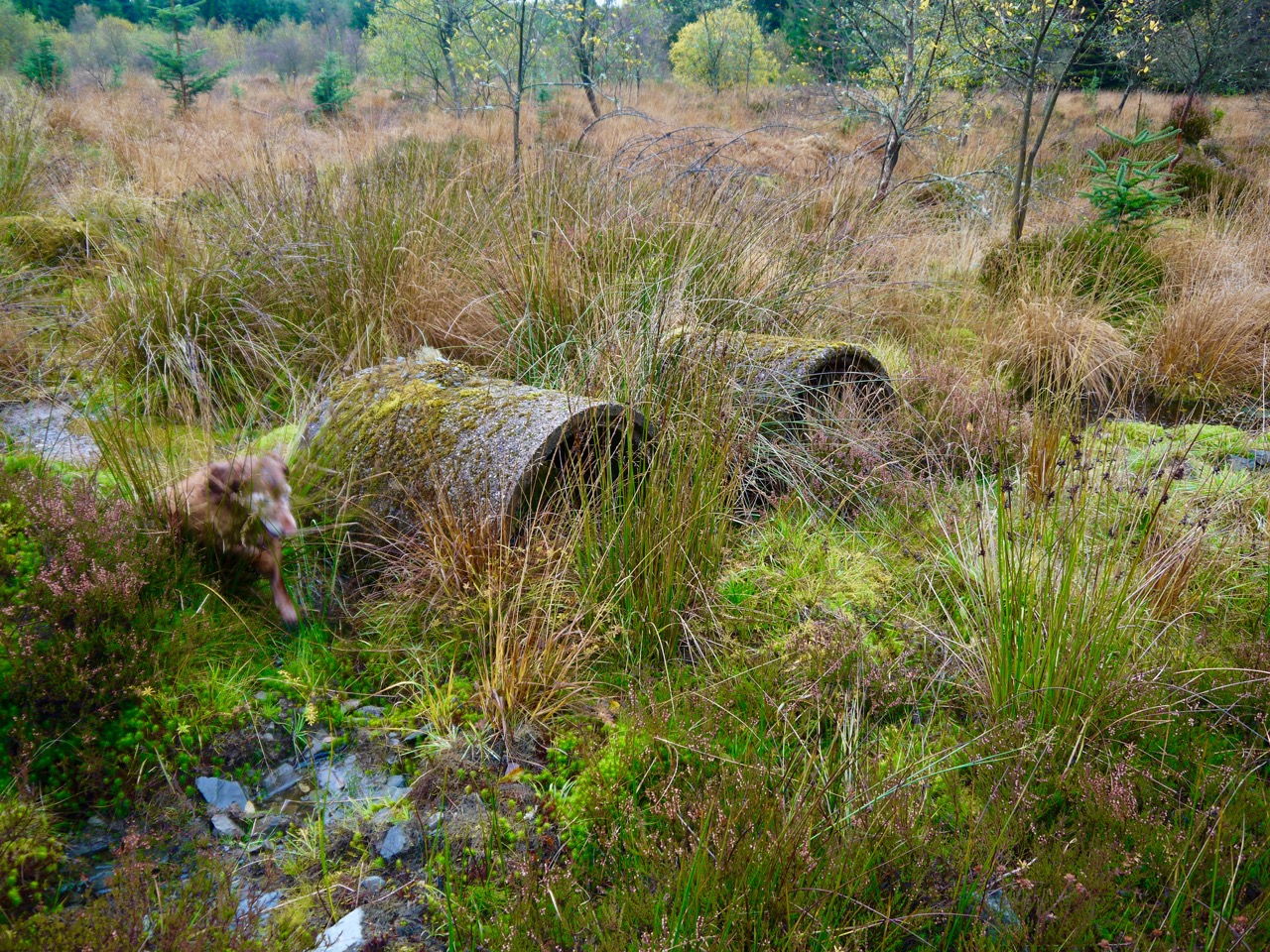
These two pipes, gradually being overcome by nature, were a little way off the track and had I come across them later in the day would have been a good place to sit for lunch.
The Loch Howie and Loch Skae circular route isn’t way-marked. The only places where there would be uncertainty about the route are where it meets a connecting track running along Lamb Rig. I presumed this was not part of the circle but I decided to include it (twice) by walking a figure of eight. There was not anything special to see along that way other than some autumnal trees and old walls hidden amongst the trees suggesting that the area was once open pasture. Who needs a wall in middle of a forest?
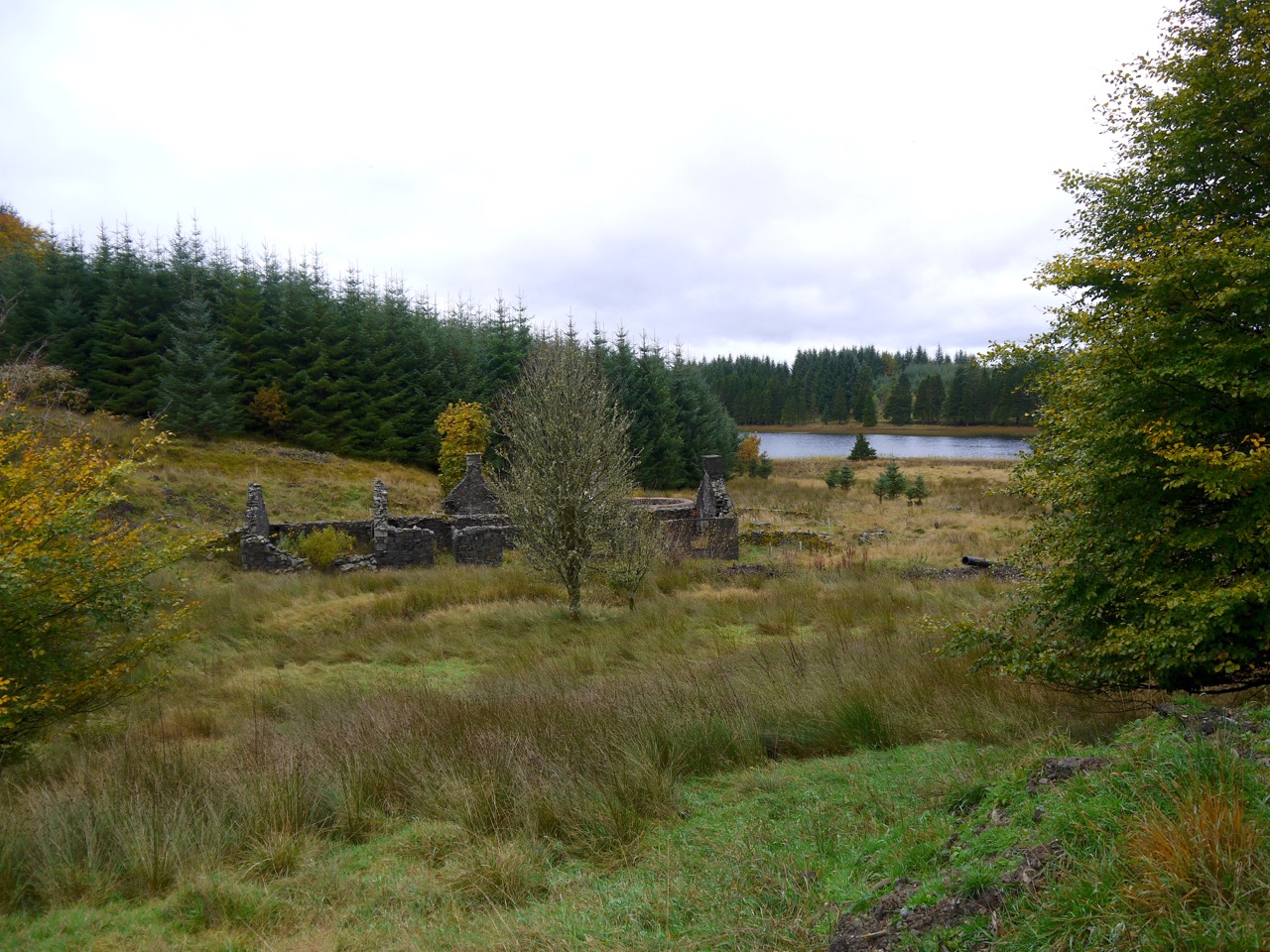
Laggan Lodge at Loch Howie
The ruins of Laggan Lodge sit where the connecting track rejoins the “circular” path close to Loch Howie. The lodge appears to have two parts with differing architectural features. That closer to the loch has arched windows and doors, and is I think an old hunting lodge, whereas the rest has straight lintels and given the nearby walls looking like sheilings this was probably a farmhouse. The roofs are long gone but the section with arched windows looks to have had the tops of its walls capped.
Older maps show a footpath heading a little south of east from the Lodge leading to Halfmark. It isn’t on the modern maps but a path can be made out leaving the present path in about the right place. I couldn’t see very far along it but it would be interesting to know if it survived the afforestation.
From the ruins, the track I followed climbs away from the loch. There are several small quarries along the way, most in the process of being reclaimed by nature, but one is clearly still in use and had a 4m tall pile of rocks. I wondered if I would be able to see Loch Howie from the top of the pile so set to climbing up it, which proved easy enough. I could glimpse the water through the tops of trees but the view wasn’t really worth the effort. Getting off the rocky mound was a little more difficult with what had been firm footholds on the way up behaving more like scree on the way down.
Is that a mound?
Further along the track and I spied what appeared to be a large mound in the distance. Could it be an ancient cairn perhaps? Getting to it would have been a major slog, so it must remain a mystery. I can’t find it marked on old maps, so perhaps it isn’t anything special. But you never know, and it doesn’t fit with the rest of the terrain.
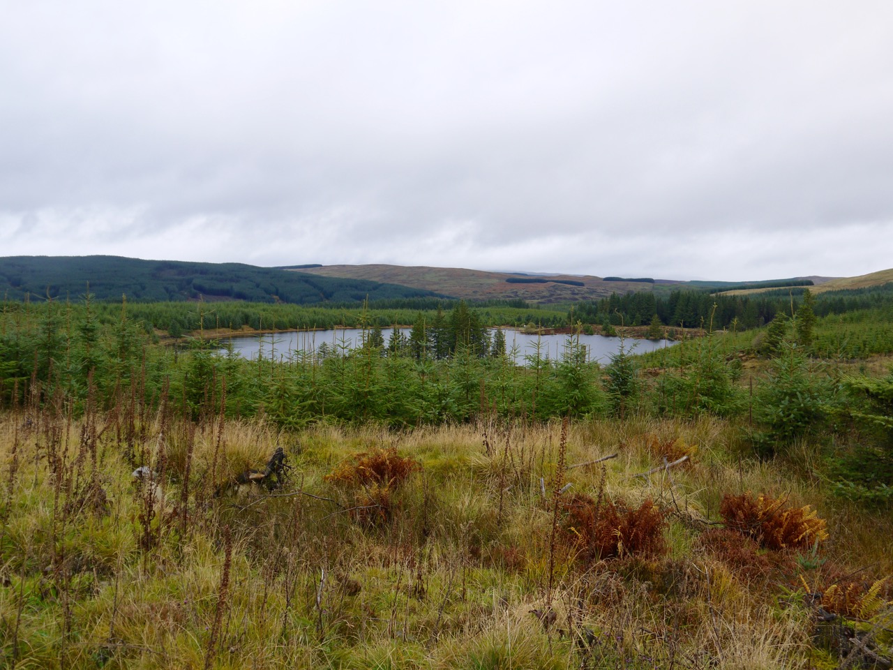
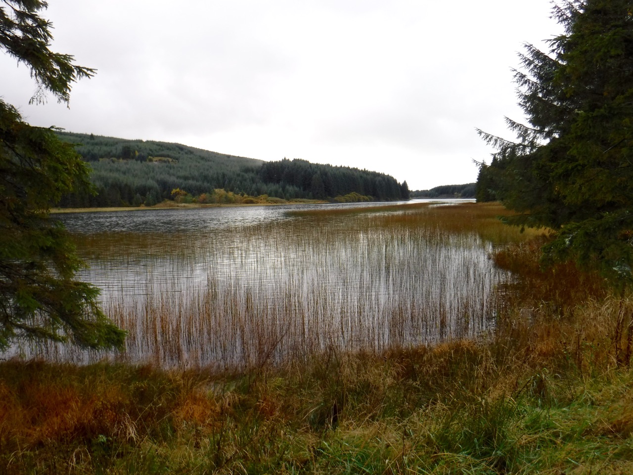
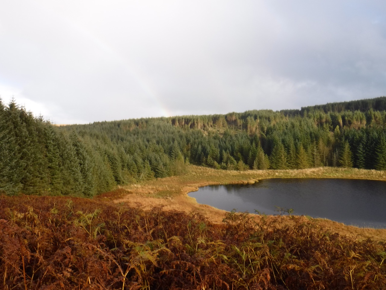
Loch Skae
A little further along and Loch Skae came into view. Above it, out of shot and to the right of the photo above is Fell Hill, so good they named it twice. The forestry track passed a plantation of larches fading to a golden yellow and then descended to the loch itself.
There was a landing stage on the loch with several tethered boats which, judging by the many signs about private fishing, are likely to used for fishing. A sturdy gate prevents access by vehicles but is easily by-passed by those on foot. Except that is for Eddie, who was left crying on the fare side of it after Sweep and I had stepped around it. ( I showed him the way.)
There was a picnic table by the loch side and fate decreed that it started to rain again just as I found it, so I decided not to have lunch there.
Following the forestry track I was soon back at the connecting track. This second time of walking it the heavens really opened forcing me into the trees for cover. It was time to put anything hydrophobic into waterproof bags, don waterproof trousers and get the rucksack cover on.
Having swapped the usual camera for its waterproof substitute, eaten a sandwich and had some tea, while the dogs dug holes showering me in pine needles, I set off again.
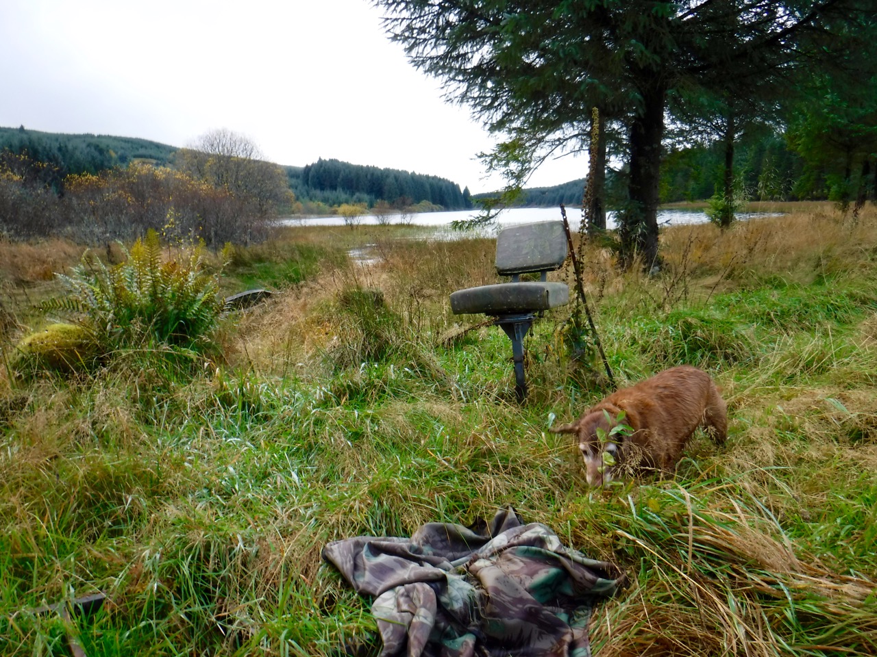
Seat by Loch Howie
This rather unusual seat stood beside Loch Howie. It looked a little too much like an ejector seat to me so I choose not to test it. Various bits of boats lay scattered about though none looked large enough to have accommodated the seat.
Reeds growing from the water gave the loch an eerie look but I wasn’t able to really capture that in the photos. I even briefly dug my usual camera out of its waterproof bag, while sheltering in the trees, but it was no better.
Loch Howie
From Loch Howie it was only a short way back to the road and the start of the “Margree circular 4”. I made the mistake of presuming the “4” referred to the number of statute miles, whereas it would appear to be a measure of “country miles”, or “lang Scot’s miles”, the latter, also known as the common mile, is 1500 five-foot paces and therefore about 1.42 statute miles. The common mile was banned by statute in Scotland in 1685, so I’m tempted to complain to the weights and measures people about this confusing use of an outmoded measure of distance.
Margree Forest
As I strode along in waterproofs the sun came out to ensure I was properly baked, but on the plus side, the sunlight enhanced the autumn colours. Much of this part of the forest has been felled, and a sign for “Margree Forest” looked a little forlorn standing as it did amidst the devastation of felling, with just half a dozen small deciduous trees standing about it. The track near here passed through a fence and I don’t recall seeing a gate, which will become relevant later.
The track after what seemed about a mile and was in fact 1.1 miles joined another track. Here was another sign this time for the “Margree Circular 3”. So I had only walked half a mile from the road? A pickup truck was stopped here but there was no sign of the driver. I presumed it was a forestry truck, but in retrospect it didn’t have any signs on it.
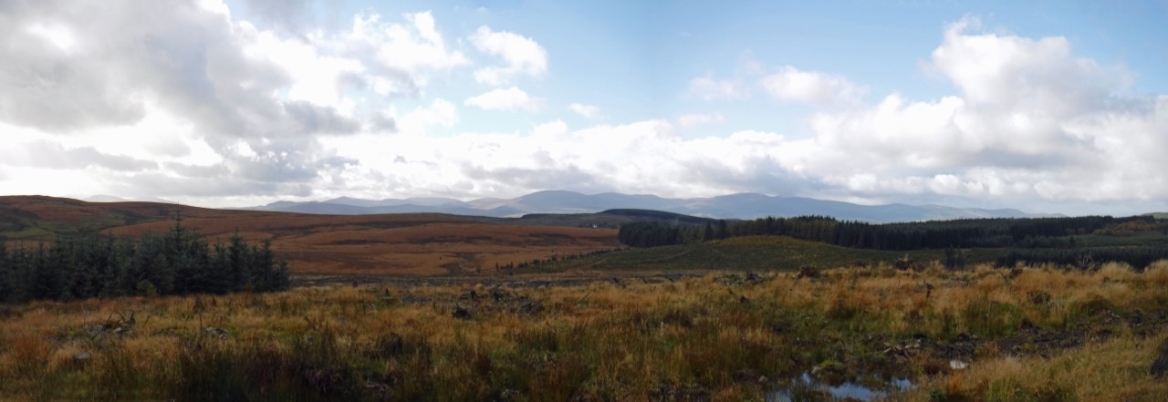
Rhinns of Kells from Margree
So on I went following the track around clockwise. This track did in fact have occasional way marker posts, but usually where there was no real question about the direction to take, for example on stretches without any junctions. Where there was uncertainty, there was not a post.
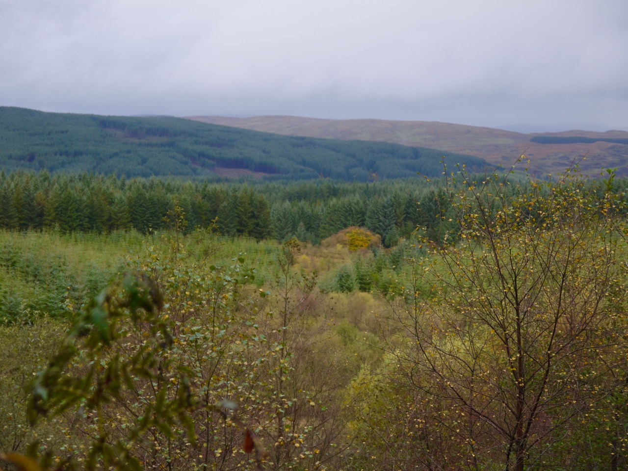
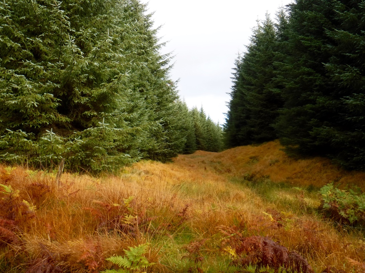
There were good views of the whole Rhinns of Kells range, and as ever what appeared quite large hills to the naked eye, are tiny things on the photos. A broad swathe of blue crept across the sky and when I reached the trees pictured at the beginning of this report I decided to risk removing the waterproof trousers. You can probably guess what happened then, but when the rain did return it remained relatively light.
We walked past, well a few hundred metres from, the cottage at Margree. This must once have been a farmhouse, but cannot be now that it is within the forest. What must have been enclosed grazing are now overgrown and the dykes in disrepair.
Near Greentop of Margree
There is a small lochan near Margree and the OS map marks a ford at the Margree Burn. The burn now runs beneath the track so no wet feet there.
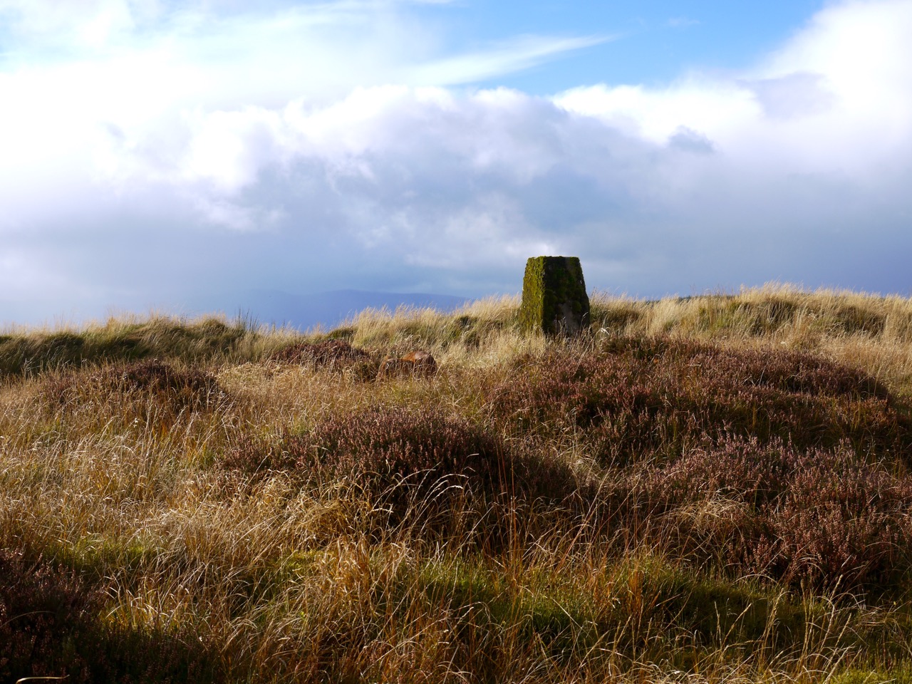
A secondary top of Greentop of Margree has a trig pillar and since this was both close visible from the track I felt compelled to visit it. This was the usual terrain of heather tussock and pools but it is only a very short detour. There is now a mound of earth close to the trig, the work of the forestry I should think, so the trig is probably no longer visible from the west.
Back on the track we plodded on, poor Eddie must have hurt his paw since he was limping occasionally.
Eventually we reached Regland Loch and were treated to a rainbow. It then seemed a long slog back to the track junction. The pickup truck was gone.
Rainbow over Loch Regland
Heading back to the road we met three guys whose 4×4 had fallen into a deep ditch beside the track. They asked if I happen to have a landrover, and I had to admit that I didn’t. I’m not an engineer but I doubted they would get their car out just by towing. Some sort of lifting gear would be needed. Luckily they had phone service and had already called for help. I said I would tell the ranger if I saw him.
On the way back I found a locked gate where I had not recalled seeing a gate before. It looked brand spanking new and had a substantial lock which had been so placed to not only prevent it opening for vehicles, but also to prevent the pedestrian section opening. Presumably the 4×4 guys had got in some other way since the gate from the road where I was parked was locked. I hope they got their car back on the road.
[osmap gpx=”http://www.screel.co.uk/walks/wp-content/uploads/2015/10/RK_gpx-_2015-10-24_1110.gpx”]
