
3.3 miles 2h 24m ascent 241m
Back Hill of Orchars-Altiwhat-Fell of Fleet
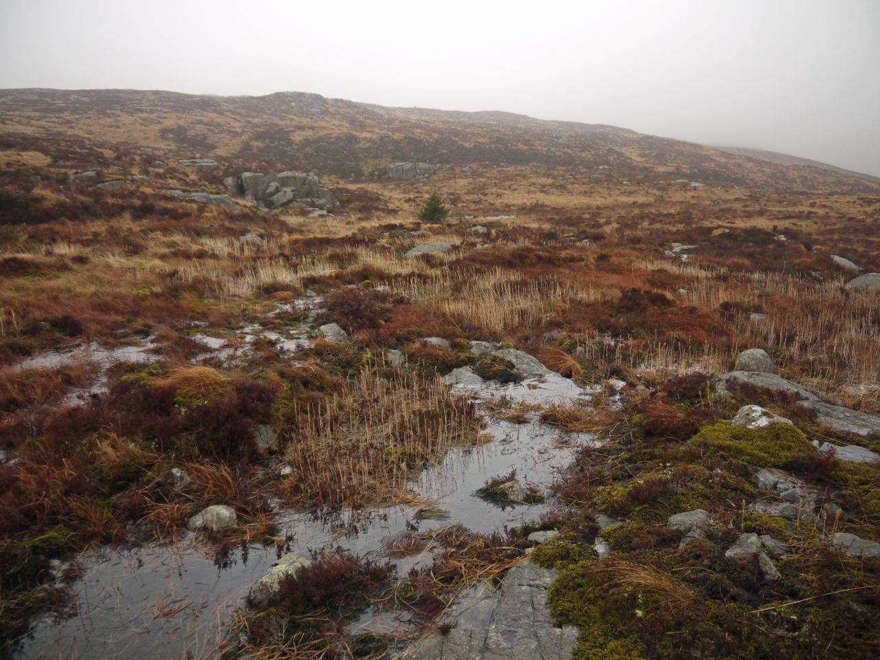
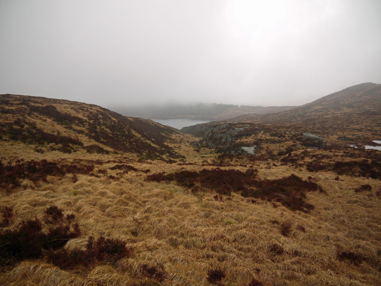
A burn, labelled Altiwhat on older OS maps, empties into northern apex of Loch Fleet, the Loch itself becoming the source of Little Water of Fleet. The burn is protected by steep rocky sides which open up at about 430m where the land broadens into a small hanging valley. This flatter area, lying between the higher ground of Fell of Fleet and Back Hill of Orchars is an upland bog with exposed granite slabs in places and some islands of more prominent granite blocks.
Maxwell’s Studies in the Topography of Galloway gives the derivation of Altiwhat as Allt na Chat, Glen of the Wildcat. And he goes on to explain… Allt itself is a word which has travelled very far from its original root-meaning. Connected originally with Latin altus (high), it signified a height or cliff, but the meaning slid thence to the vale or glen between the heights, and finally into the stream within the vale.
The maps clearly label the burn Altiwhat, but Maxwell in the 1880s might have had other information. I found it more romantic to think of myself crossing the glen of the wildcat rather than crossing the bog above the stream of the wildcat. Having said that I didn’t see any cats.
Fell of Fleet is another D&G Marilyn to add to my list; it is not a big ascent but tiring terrain and low cloud made this simple walk a little more challenging. Heather, tussock, moss, bog and sometimes granite slabs, with no tracks to follow, and when the cloud was low, direction finding by compass.
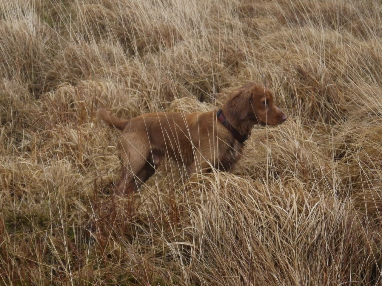
I started from the forestry track above Loch Grannoch. I chose a forest break between mature trees and a planting of young conifers about 3m tall. This was a little waterlogged in places but easy enough. Unfortunately the forest break was blocked by a further plantation of conifer and, higher up, deciduous trees. A large mature tree had fallen across my route and required some clambering. Sweep, old dog that he is, with his bad leg, couldn’t jump onto it and had to be manhandled over.
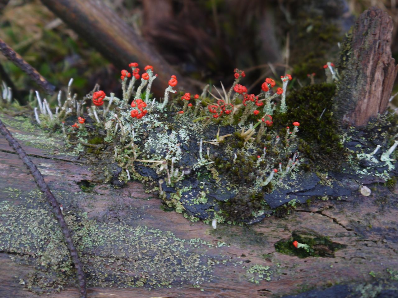
Amongst the browns and greens of the slope a single flash of red caught my eye which was fruiting lichen.
The new plantings were not particularly dense and it was possible to pick a way through. Above this was a rough forestry track not marked on the OS map. It looks quite temporary but offered a brief respite from the difficult terrain of newly planted forest on a background of felled forest. I only stayed on it a short distance and then headed straight up the ridge of Back Hill of Orchars, arriving very close to the summit cairn.
Summit, Back Hill of Orchars. Loch Grannoch in the background
There were views of Lochs Grannoch and Clatteringshaws from the summit and Loch Fleet could be seen from just a little way beyond the cairn. The surrounding hills however were lost in mist. Loch Fleet, having collected water from the Fell of Fleet is the source of the Little Water of Fleet, whereas the Big Water of Fleet arises from the slopes of the much larger Cairnsmore of Fleet.
Loch Fleet
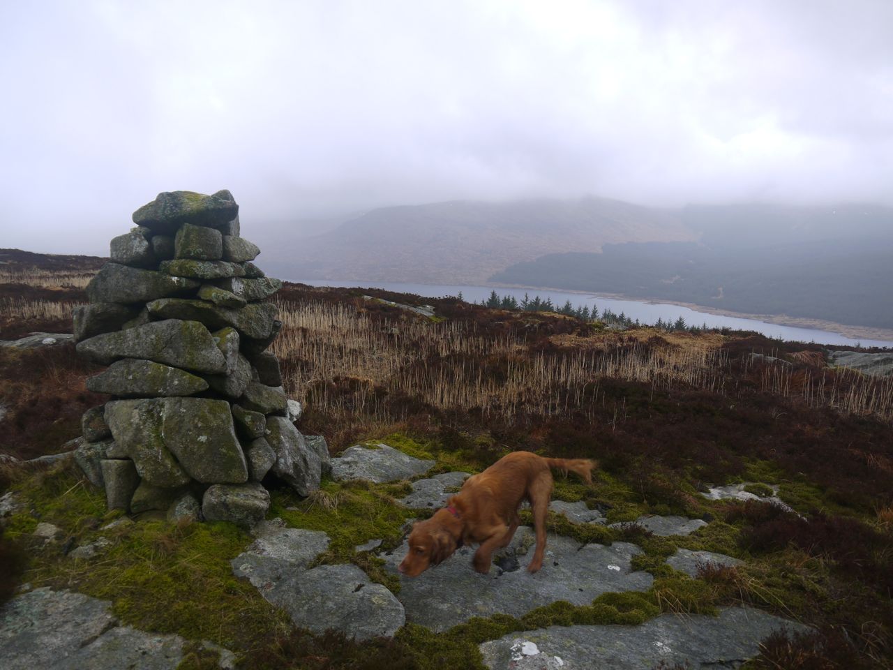
I had hoped that the way across to the Fell of Fleet would be obvious but the summit was hidden in cloud and I could not see any obvious route. Between Back Hill of Orchars and Fell of Fleet is the shallow valley, Altiwhat, the Glen of the Wildcat, a granite strewn bog with areas of standing water to avoid.
Altiwhat
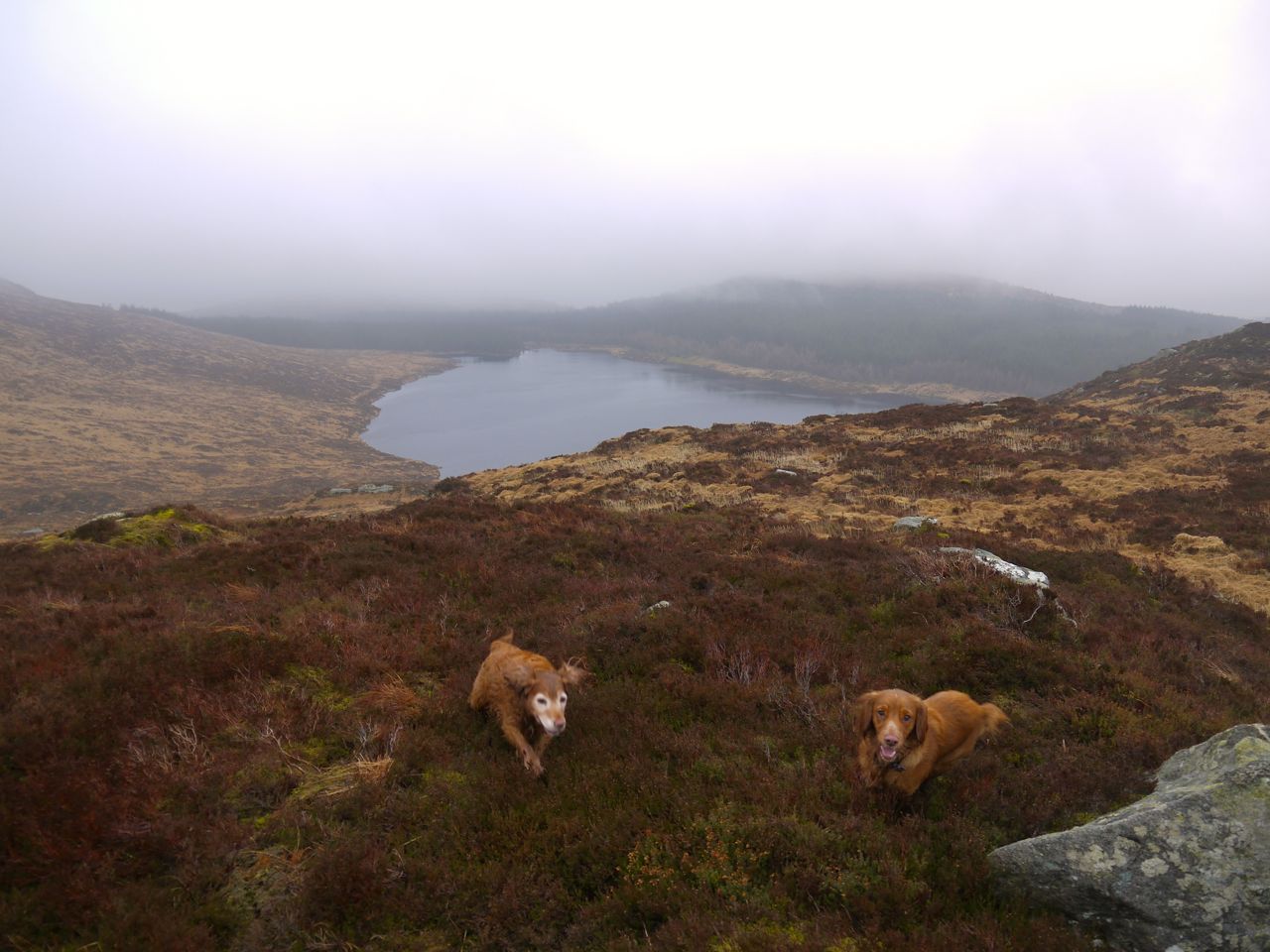
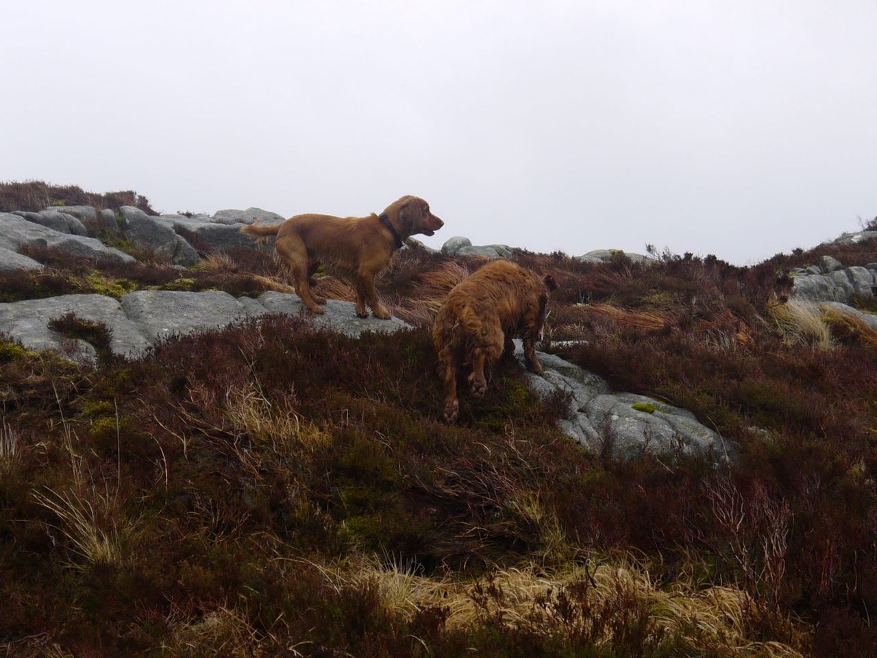
I decided to skirt around to the north to avoid too much descent and re-ascent but still found myself in boggy ground. A castle of granite slabs looked like a good staging post but turned out to have a boggy moat. The standing water was sometimes deep enough that the dogs swam across pools, so I trod carefully.
Altiwhat, looking down to Loch Fleet
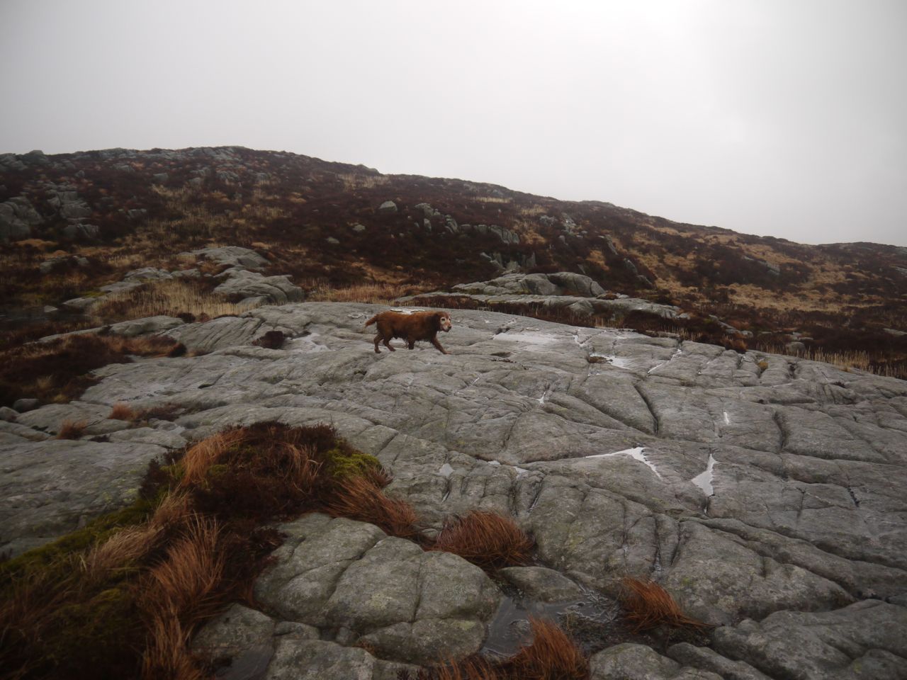
Once on the higher slopes there were granite slabs in places to make the going easier.
Fell of Fleet
Once on the Fell of Fleet I was in low cloud that would briefly clear allowing some views but quickly descend again. I came across a cairn, which it turns out is the summit, but while standing there the cloud thinned showing me what appeared to be higher ground to the NE. So off I went searching for the higher point.
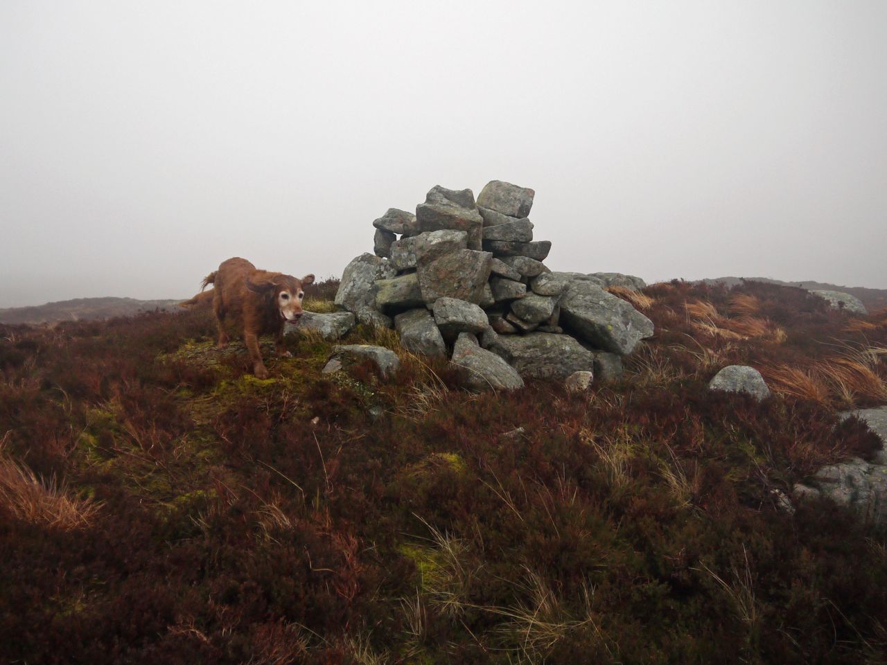
Summit, Fell of Fleet
Having waked along Fell of Fleet’s summit ridge, to the possible higher ground, the mist lifted again and I could look back to see that the cairn was higher. This seems to be quite a common phenomenon, for me at least.
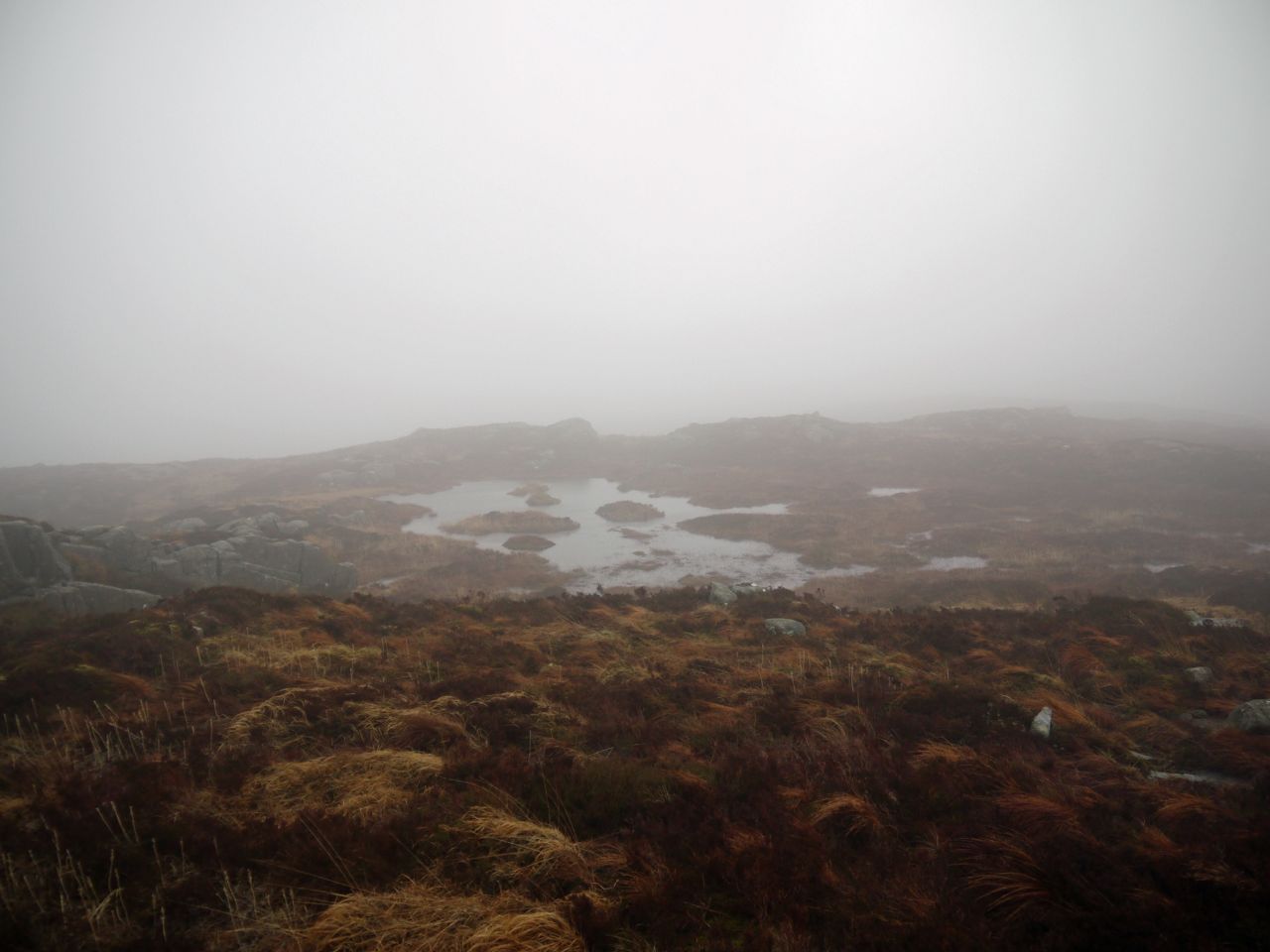
Lochan on Fell of Fleet
So, comfortable that I had visited the summit I turned to head home, crossing the boggy glen a second time and heading directly over the ridge of Back Hill of Orchars. This took me down through some felled and replanted forest and on to the rough track which I followed for about 100m to a forest break that I hoped would carry me back to the main forestry road.
Back Hill of Orchars
I was quite pleased with this forest break which had quite firm footing, but it wasn’t to last. The ground became more boggy and then the forest break was blocked by a densely planted forest. Luckily it was possible to find a way through with a bit of clambering over fallen trees and detours to get around water.
Back Hill of Orchars
I suspect the views from Fell of Fleet could be quite extensive, but I’ll have to wait for another day to find out.
[osmap gpx=”http://www.screel.co.uk/walks/wp-content/uploads/2015/02/RK_gpx-_2015-02-28_0952.gpx”]
