
4.7 miles 2h 24m ascent 496m
 Route: Up on Dalveen Rig, down the western ridge. Highest point Steygail 573m
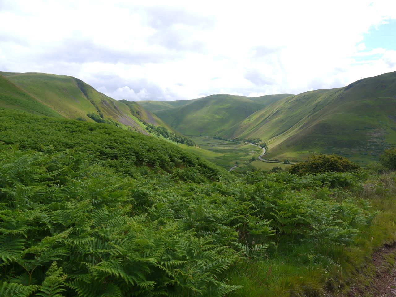
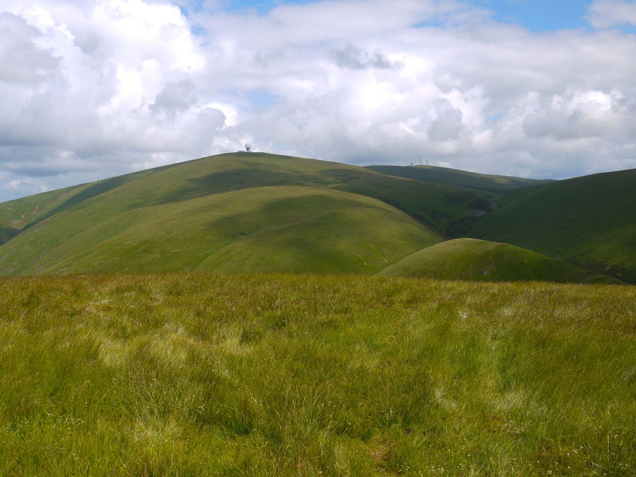
Steygail means Steep Gable and it stands guarding the Dalveen Pass, a massive steep sided hulk that doesn’t lend itself to being climbed with its adjacent hills being separated from them by steep sided valleys. Its shape is reminiscent of a sleeping dog, but with its tail extended. My route took me up the steep sides of its hind-quarters, along the top of its curved back, up its neck to the summit at the top of its head, then down its nose. The downside was that I had to climb back over its hind-quarters again on the way back.
Dern Craig
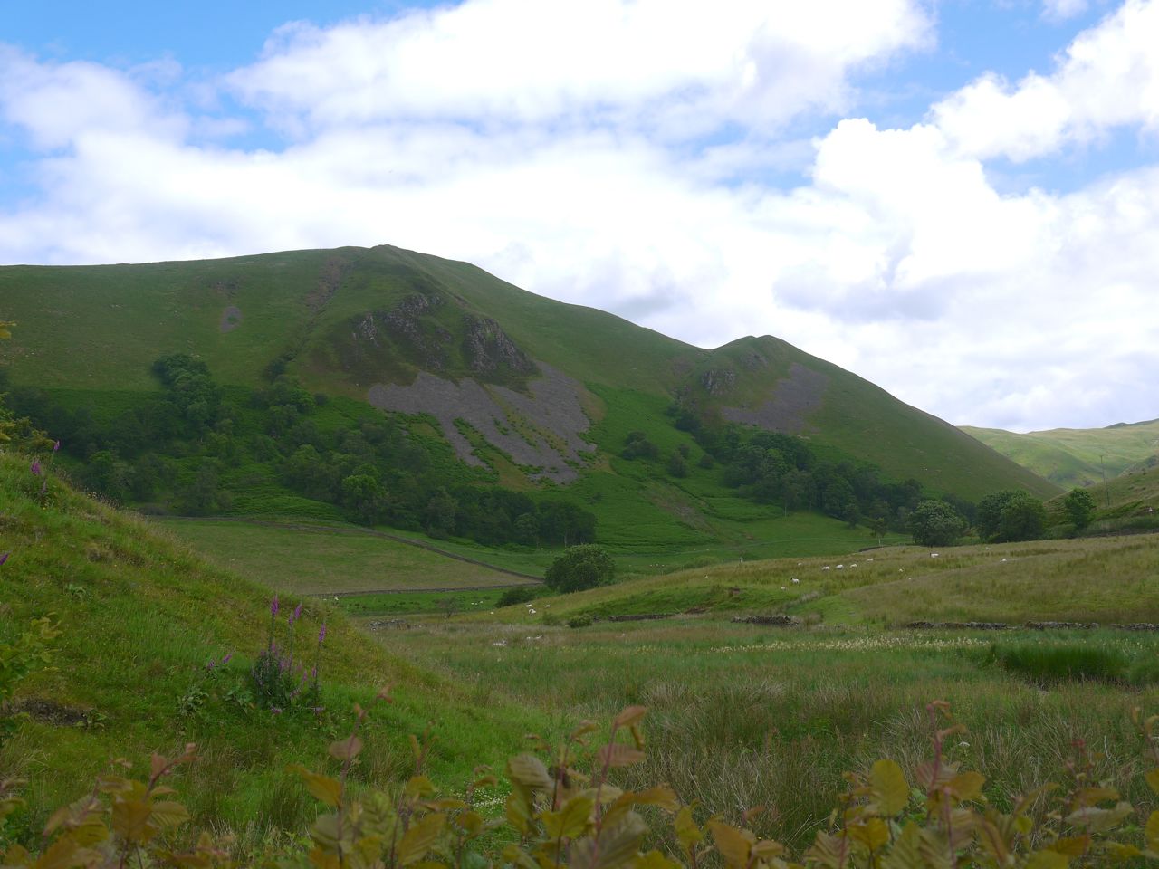
The forecast had been for rain but that came later so I got sunshine for the walk. There is parking space just off the A702 (a lay-by) with excellent views of Dern Craig. My SMC Southern Uplands book suggests this as a descent route from Steygail. In the photo it seems OK but it looks steeper in real life and definitely wasn’t the way for me. Mountaineers would breeze down it I’m sure, but a hillwalker like me, no thanks.
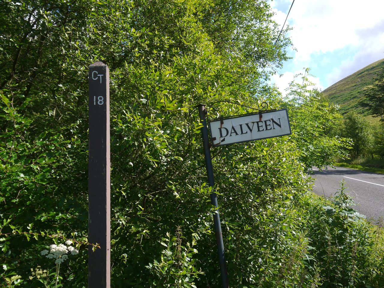
The track to Dalveen has a sign both for “Dalveen”, but also one of the Covenanter’s Trail signs “CT18”. I had searched for more information on the Covenanters’ Trail signs when I first saw one near Mitchellslacks. After this walk I tried again, and again it was in vain. Somewhere there must be a list.
This area felt the effects of Scotland’s Killing Times in the seventeenth century. A troop of Dragoons escorting prisoners along the Enterkin Pass was ambushed by a group of Covenanters, killing the commander and rescuing some prisoners. A its height the Covenanters had a an army of 30,000 that played a major role in the wars of the three kingdoms (the English Civil War). My day was free of ambushes, and indeed once I left the A702 I didn’t see another soul. Times are more peaceful now.
The farm track descended to cross the Dalveen Burn then began a gradual climb, passing the buildings at Dalveen. I see there is a covenanters memorial nearby, but I only realised that after the walk. A sign on the A702 said there was parking for an art studio, but I didn’t see any obvious sign of the studio.
Past the buildings at Dalveen I took a track up the hillside, which passed through a stand of trees that was infested with flies, but luckily they seemed to like the trees and didn’t follow me when I left the trees. This track zig-zagged a bit and brought me to the col between Dalveen Rig and Nether Dalveen Dod. I had planned to walk to the fence then follow that onto Dalveen Rig but once there I found a quad bike track heading up Dalveen Rig and followed that, saving myself a few metres.
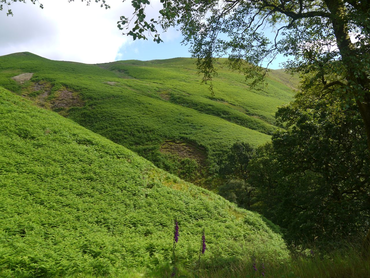
Bracken covered Bught Hass
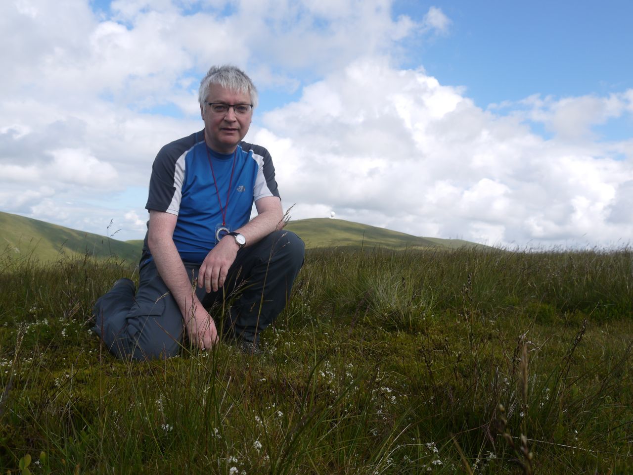
This was me on the hind-quarters of the sleeping dog, Nether Dalveen Dod being the tail. I then had a gradual climb along the Rig with Glenvalentine separating me from Steygail’s summit. The hill curls to the left around Glenvalentine and the ATV track I was following took a more direct route, cutting off a corner. I chose to carry on directly up, staying near the fence (which isn’t on the OS25k). With a little more up and down I was soon at the top of Steygail. The hill has a flat boggy top with no summit marker and no obvious summit so I wandered about all the possible highest points then squatted for a drink there being nowhere to sit.
Lowther from Steygail
Steygail Summit
The views from Steygail, and its ridges, included the Lowther Hills with their radar equipment, the Cold Moss-Comb Head ridge from our SUW outings, the Durisdeer Hills, Cairnkinna with its visible cairn, Criffel, the two bigger Cairnsmores, the Enterkin and Dalveen Passes and the Nithsdale valley.
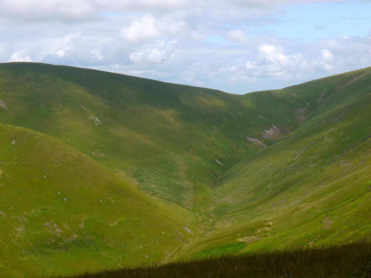
The head of the Enterkin Pass
I choose to descend along the unnamed western ridge, and Cairnkinna was my direction guide. This was not particularly steep but did challenge my knees a little (and my thighs are aching after it). I joined the route along the Enterkin Pass at just about the only place an ambush could be set up. I had read that the ambush was on the steep sides of the pass but that seems unlikely there being no hiding places.
The downside of this way down is that it goes down to Enterkin Pass and requires a 100m climb back out over the Dalveen Rig-Nether Dalveen Dod col. There is however a gravel track that zig-zags up the hill.
Once back up I then followed the track I had used earlier back to the start point.
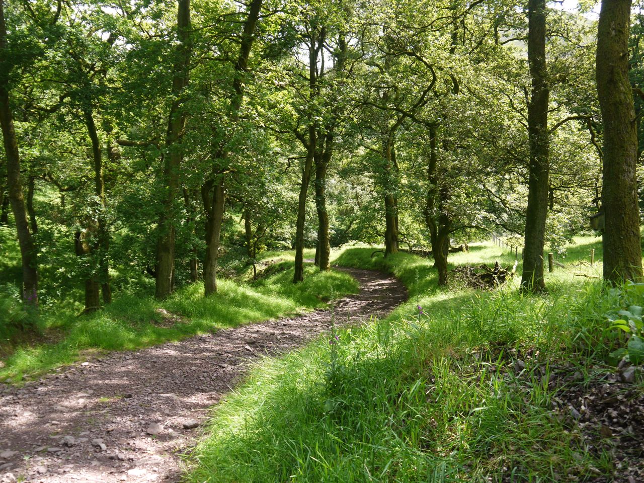
Track near Dalveen
This was a pleasant walk with good views.There were plenty of summer wildflowers to see on the walk and a couple of hares that were too quick for photos. There were some birds of prey flying about but not close enough that I could identify them.
[osmap gpx=”http://www.screel.co.uk/walks/wp-content/uploads/2014/07/RK_gpx-_2014-07-05_1002.gpx”]
