
Fell Hill 4.2 miles 2h 1m 265m ascent; Bogrie Hill 2.5 miles 1h 29m 221m ascent
 These are a couple of wee hills either side of Loch Urr. I imagine in better visibility the views would be better and I might have enjoyed the outing a little more if not for the previous evening’s Whisky tasting (Glengoyne and Tamdhu).
The first leg of the walk started from Fell Bridge, where there is just enough space to park a car by the road. A track from there led to the ruins at Fell but it has fallen into disuse. The first 400m or so has been layered with rocks presumably to keep the track useful for vehicles reaching a large aerial. Beyond that though the track has not been maintained.
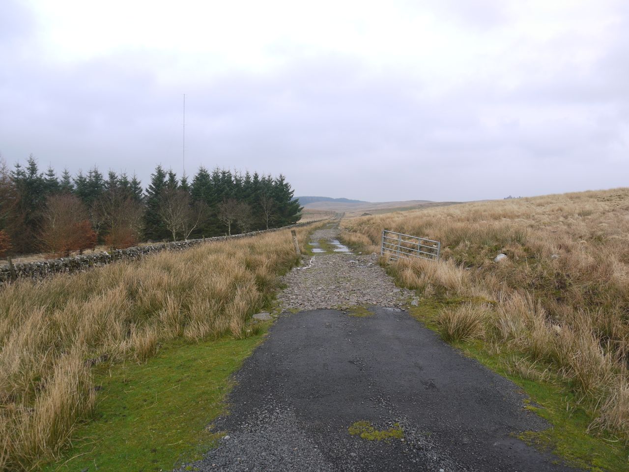
The track to Fell (maintained)
Drainage ditches have been cut through the track in places and small streams have eroded into deep watercourses wider than a leap in three places. In addition to that the path was flooded in places requiring detours through the boggy ground either side of it. The mud tried hard to hold on to my boots, testing their fit and lacing, but I managed to stay shod.
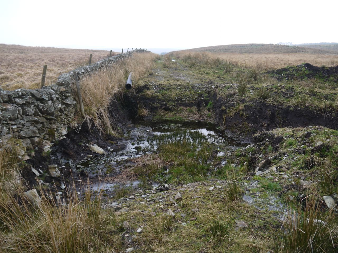
Track to Fell (not maintained)
Fell Hill was visible in the distance with its tall summit cairn until the track passed into the trees at Craigmuie. Within the forest the ground was very friable, waterlogged in places and muddy in others. There were places that looked dry but allowed feet to sink in like quicksand.
Beyond the woods were the ruins at Fell. I made the mistake of having a close look at these and found myself in a major mudfest. I would advise skirting the buildings except after prolonged drought.
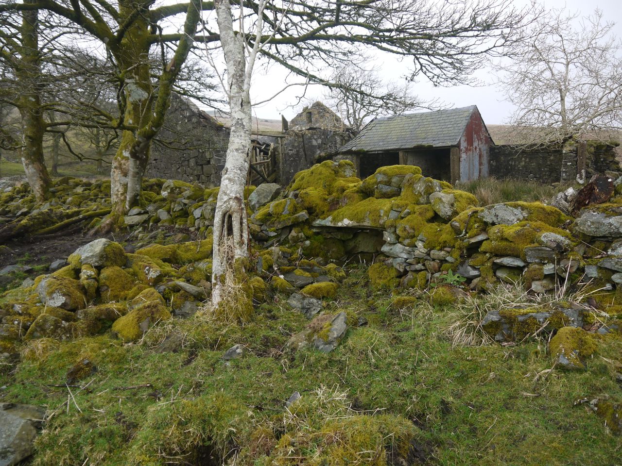
Ruins at Fell
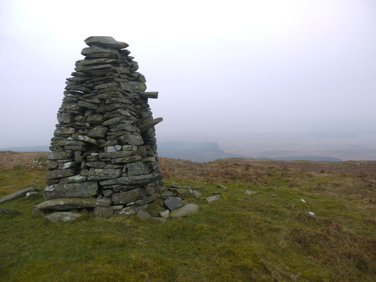
After the ruins, and well muddied, I was at Fell Hill itself. There were no tracks to follow and the summit cairn was no longer visible. The terrain was heather, moss and some boggy sections and just to top it all, a little before I reached the summit it started to rain.
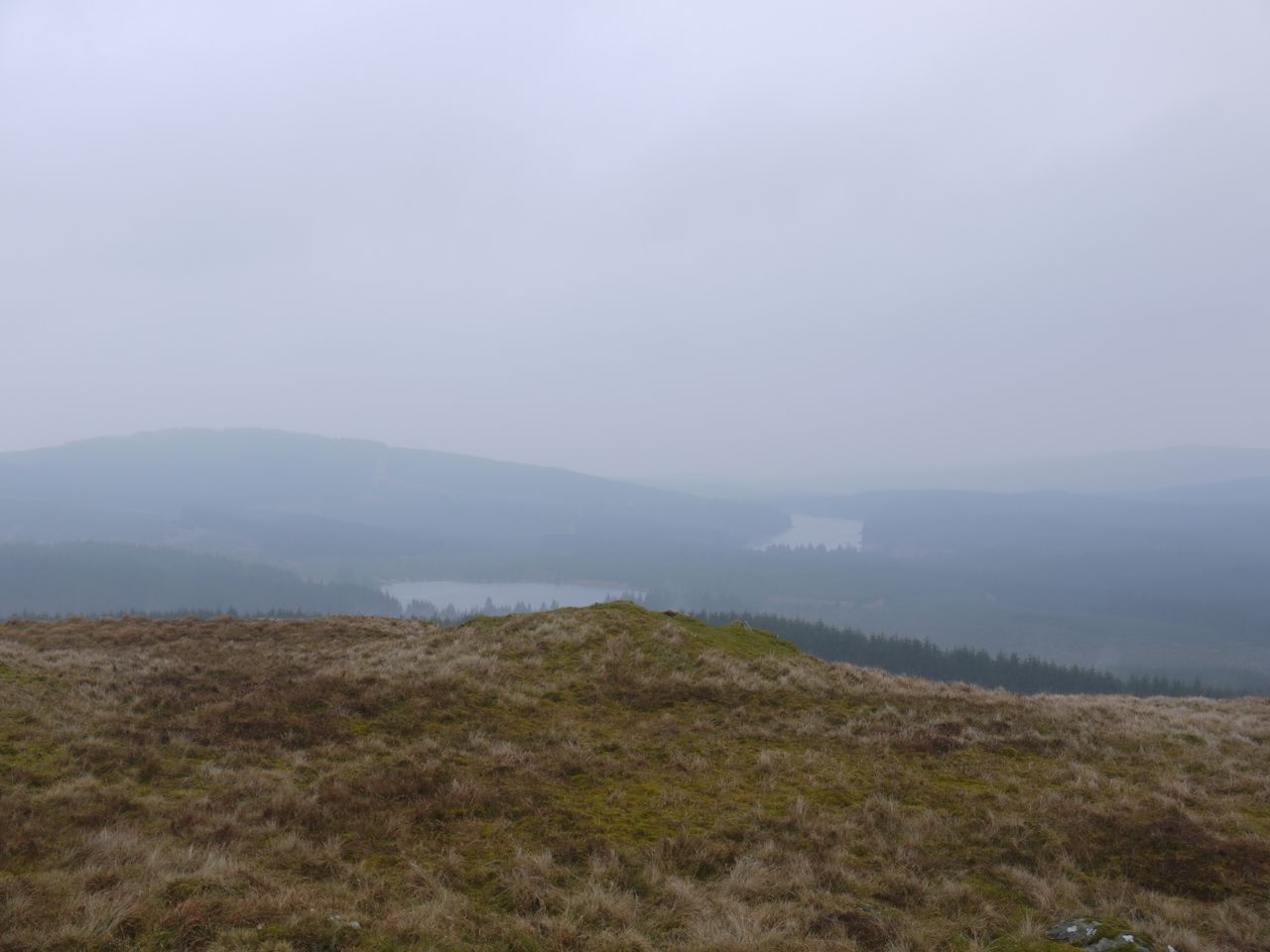
Lochs Skae and Howie from Fell Hill
From the summit, Loch Urr to the east and Lochs Howie and Skae to the west were just visible but mistiness spoiled the pictures. As well as a trig the summit has a ten foot cairn with steps, that give it the appearance of a Dalek, to help climb it but with the wind I wasn’t keen to climb beyond the lower part.
I took the same route back but avoided the ruins at Fell.
[osmap gpx=”http://www.screel.co.uk/walks/wp-content/uploads/2014/03/RK_gpx-_2014-03-29_0921.gpx”]
Once back at the car I did a multi-point turn on the narrow road then drove to the other side of Loch Urr and parked near the sign for Shillingland. A farm road leads up to the farm buildings and I followed this until a cattle grid then struck off directly for Bogrie Hill. The ground at first was firm but soon deteriorated into heather interspersed with boggy areas.
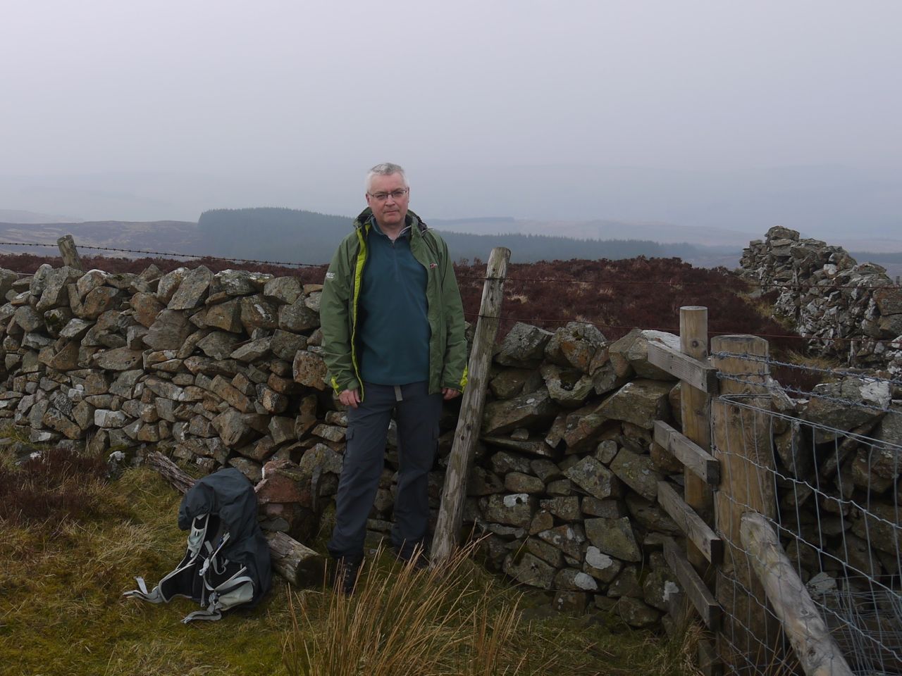
Hungover on Bogrie Hill
I had read that there was an ATV track heading up the hill but I did not see it on the way up. I reached the summit ridge about 200m east of the trig and then found a faint ATV track. Visibility still wasn’t particularly good but the sun did seem now to be shining on Fell Hill and Loch Urr.
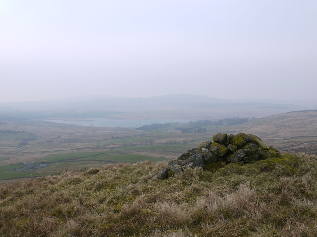
Loch Urr from Bogrie Moor
After a rather uncomfortable lunch I headed back the same way and this time did come across ATV tracks in some places.
Two easy hills, but a wee bit muddier than I would have liked.
[osmap gpx=”http://www.screel.co.uk/walks/wp-content/uploads/2014/03/RK_gpx-_2014-03-29_1139.gpx”]
