
4.6 miles 2h 8m ascent 346m
 Route: Tibbie Shiels-SUW-Wester Rig-Long Moor-The Wiss-Nether Hill
This was a simple walk. My plan was to start at Tibbie Shiel’s Inn, head south along the SUW for about a mile, over Wester Rig and Long Moor to the Wiss, then down Altrieve Rig and back along the bank of St Mary’s Loch. The forecast was rain until lunchtime then sunshine (shakes fist at meteorologists).
I got off to a bad start when on the A708 I found a man in a high visibility jacket putting barriers across the road. He told me it had been closed ten minutes earlier, for five weeks. What was I to do? I had only brought maps for the area I was planning to walk. I could cancel and go somewhere else the next day but it seemed a shame to have driven this far already so I did a 360 and headed back through Moffat for the Megget Road.
So after several miles of twisting and steep roads I reached St Mary’s Loch and parked at Tibbie Shiel’s Inn, somewhat later than planned. It was chilly and a little breezy but on the plus side, it wasn’t raining and visibility was good.
The SUW here is on a farm track so the walking was easy except in a few places where the track was covered in mud/slurry. The climbs gently across the hillside giving views back to St Mary’s Loch. At a turn in the track at about the 339m spot height I left the track and climbed on to the moorland of Wester Rig over short grass and moss watched by sheep. Wester Rig has several undulations, which I only really appreciated visually once I was looking back towards it. With the extra height there were better views of St Mary’s Loch and The Wiss was visible though the cloud soon settled onto it.
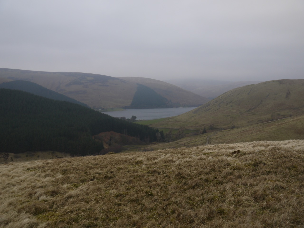
St Mary’s Loch from Wester Rig
The ground here was boggy in places but with enough firm ground to find a way. Wester Rig meets Long Moor at a tree line and here I turned up towards The Wiss. This ridge has a more gentle gradient but rougher terrain with sunken boggy sections to avoid. As I continued to climb the cloud came down to meet me.
I had hoped to have a bite to eat at the summit, enjoy the views and then head down over Peat Law and Altrieve Rig then back along the south bank of St Mary’s Loch. Unfortunately at the summit the view was thick mist and the wind was strong enough to make walking difficult. One gust caught me unawares and had me step into a mud-trap I was trying to step around. It had obviously been sheltered earlier in the walk but walking down Altrieve Rig exposed to the wind didn’t seem a good idea. So lunch was delayed, the map consulted, and the walk curtailed.
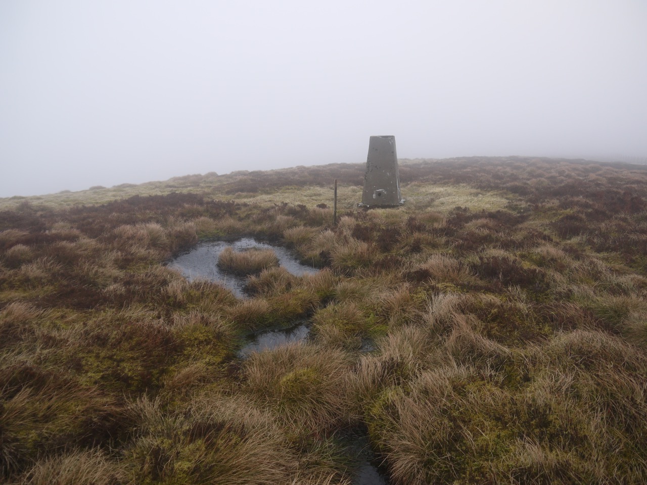
The Wiss summit
I decided that following the fence west down to the Loch was the best bet given the poor visibility. As I walked down I kept the fence in sight while making detours around boggy sections. This was much wetter underfoot than the ascent route. It hadn’t been raining but my jacket was as wet as it would have been if I had been hosed down with a garden hose. Either the rain was so fine I didn’t notice it or the water was precipitating directly on to me.
This route took me across two tributaries of March Sike, both were narrow enough to step across but the second lay in a 3m wide watery area and I had to go upstream a little to cross it. The fence then followed the south side of March Sike cleuch and onto the grassy slopes above the Loch.
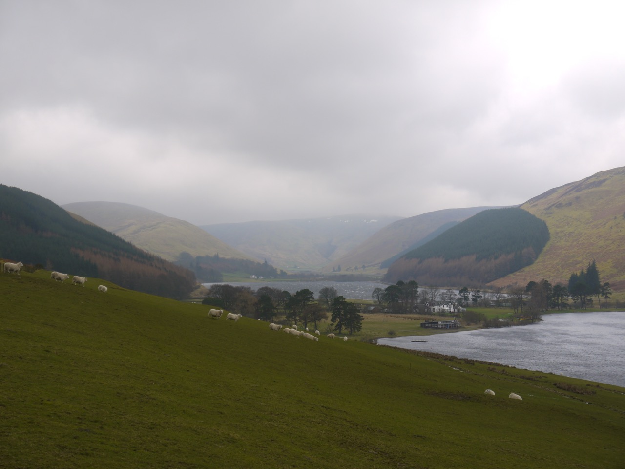
Tibbie Shiels Inn
I began to wonder if I had been a little too fast to cut the walk short but the wind returned soon enough. Getting out of my wet clothes at the car one of my boots was blown away.
Heading back the waters of St Mary’s, Megget and Talla had tall spouts of spray blown up from the waves, and in places these looked like whirlwinds. I stopped to get a photo and found it very difficult to close the car door because of the wind.
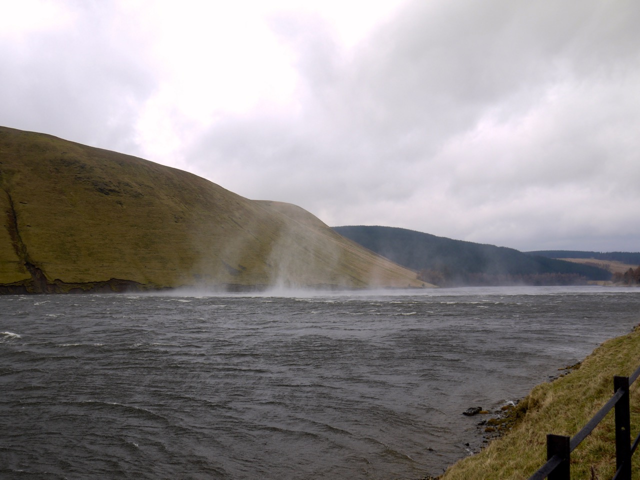
Spray on Talla Water
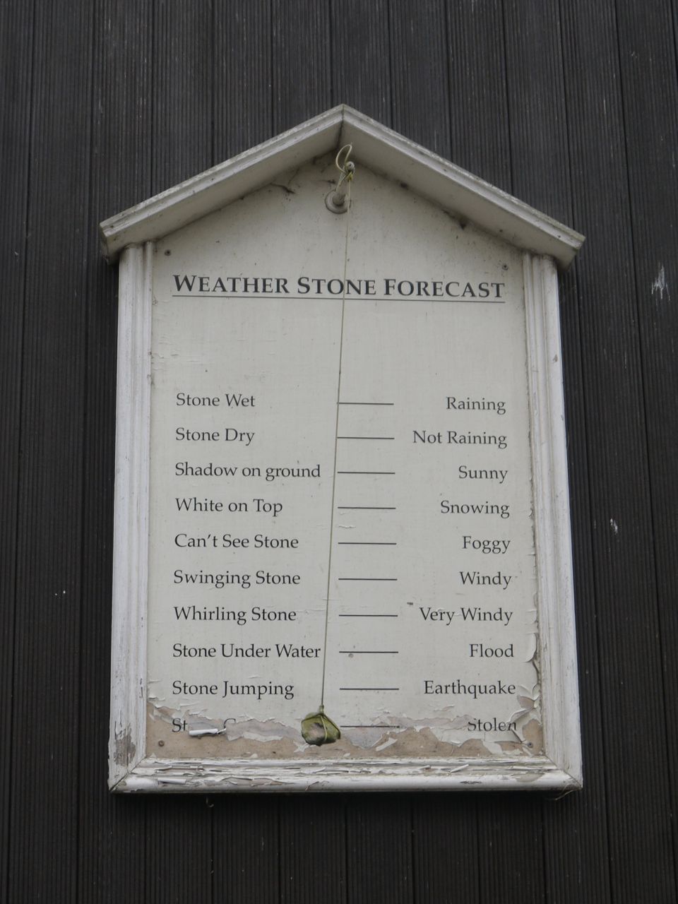
The photo at the start of the report is from Tibbie Shiel’s Inn. The stone was swinging and swirling.
[osmap gpx=”http://www.screel.co.uk/walks/wp-content/uploads/2014/03/RK_gpx-_2014-03-08_0947.gpx”]
