
12.7 miles 6h 23m ascent 997m
 Cauldstane Rig-Lair Knowe-Greenside Law-Shielhope Head-Notman Law-Dun Law-Cramalt Craig-Hunt Law-Pykestone Knowe-Clockmore
Being the end of May, Summer had shown itself at last. I parked by the viewing area by the Megget reservoir under full cloud cover with a chill in the air, but I set off in my tee-shirt believing the day would brighten up. Sunhat: check. Sunglasses: check. Suncream: check.
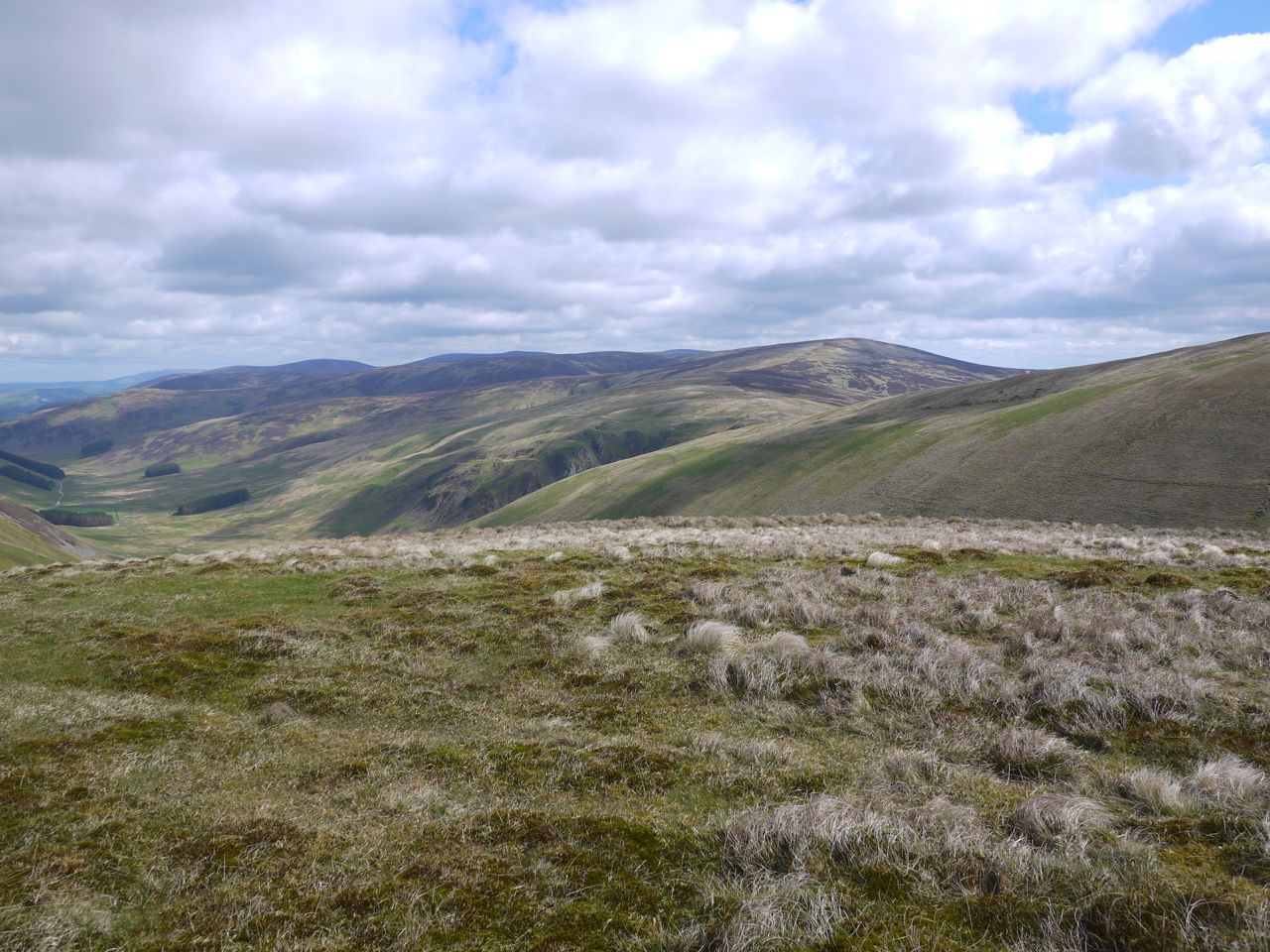
I had decided to take a slightly roundabout route to allow a visit to Greenside Law’s south top (Lair Knowe) and Shielhope Head. So I took the footpath that follows Yair Sike from Craigierig and signposted “Manor Water by Foulbrig 4 miles”. I knew there were three likely spots to leave the path: At either of the sheepfolds (at 440m and 530m) or at the highest point (567m). This last doesn’t have a path, or at least I didn’t find it when last I was there, whereas there was an ATV track from the 530m choice. I quite fancied the idea of heading up Cauldstane Rig so left at the dog-leg in the path by the sheepfold at 440m.
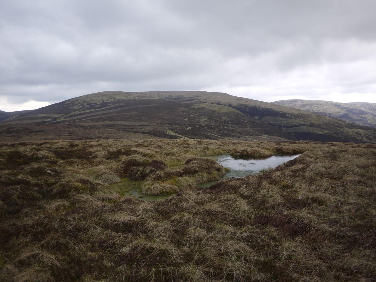
An ATV track led off in the right direction but soon veered south so I left it and got warmed up walking through the moorland (heather and bog). I overshot a little and noticed the large cairns of the Rig to my left. One of these is a typical cairn but the other is a small knoll covered in stones giving the impression of a massive cairn. The smaller one had numerous stones on its lower slopes and the two may once have been a pair.
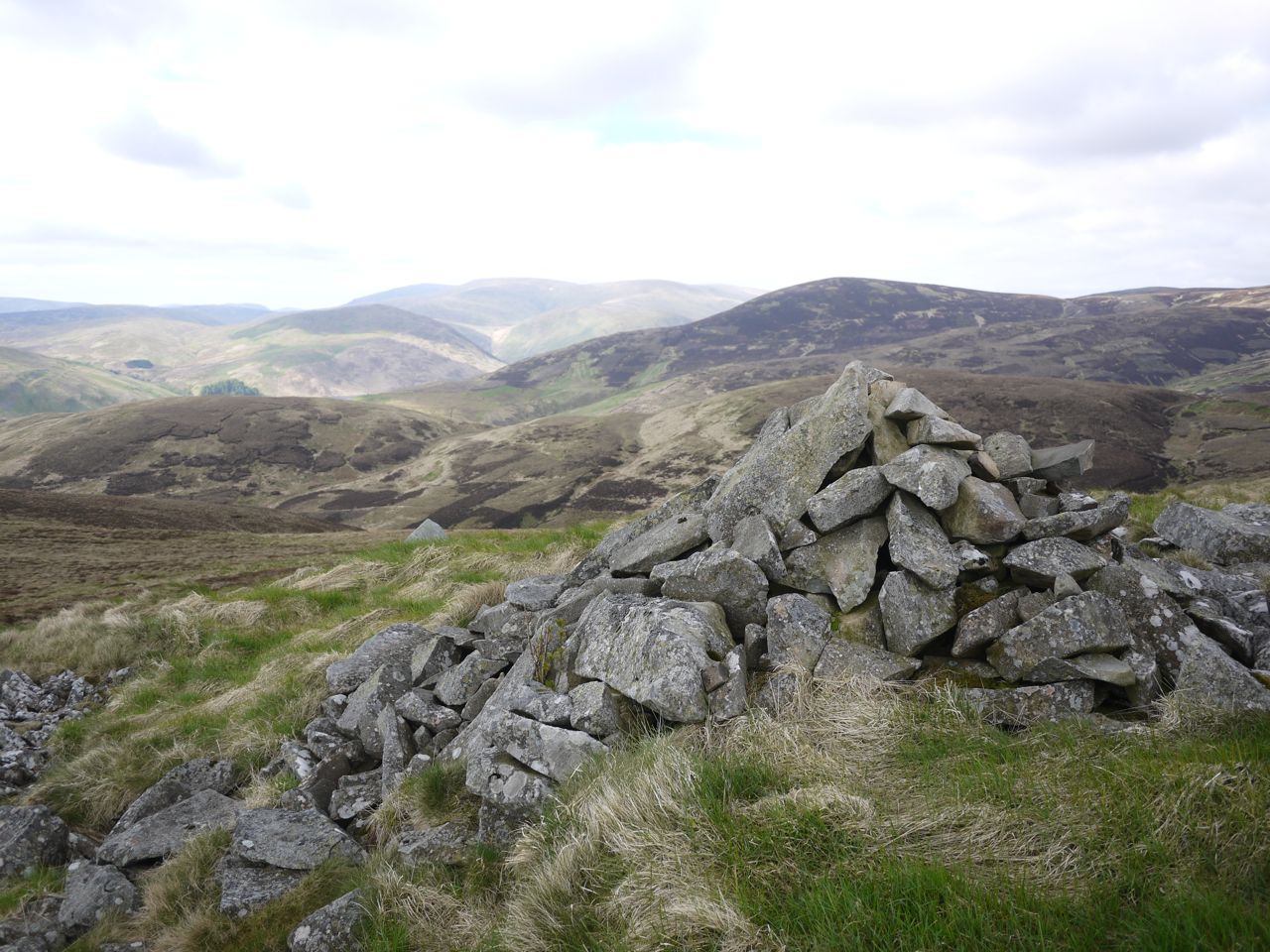
Cairn on Cauldstane Rig
A faint track led up from the south and I wonder if the track I had left earlier might have wound itself up to here. I glanced up towards Greenside Law and could see a faint track heading that way. I had a brief refreshment break then got back up ready to follow the track, but I couldn’t see it now. That what I mean by faint.
Heading up Caulstane Rig I did sometimes get the impression of a track and I found when I looked back it was more obvious. A trick of the light perhaps.
Lair Knowe, Greenside Law’s south top didn’t have any summit marker so I pressed on. I decided to take in Greenside Law again and found the small white threaded thing that looks to be at the summit. The sun was out in the Manor Glen but not on me.
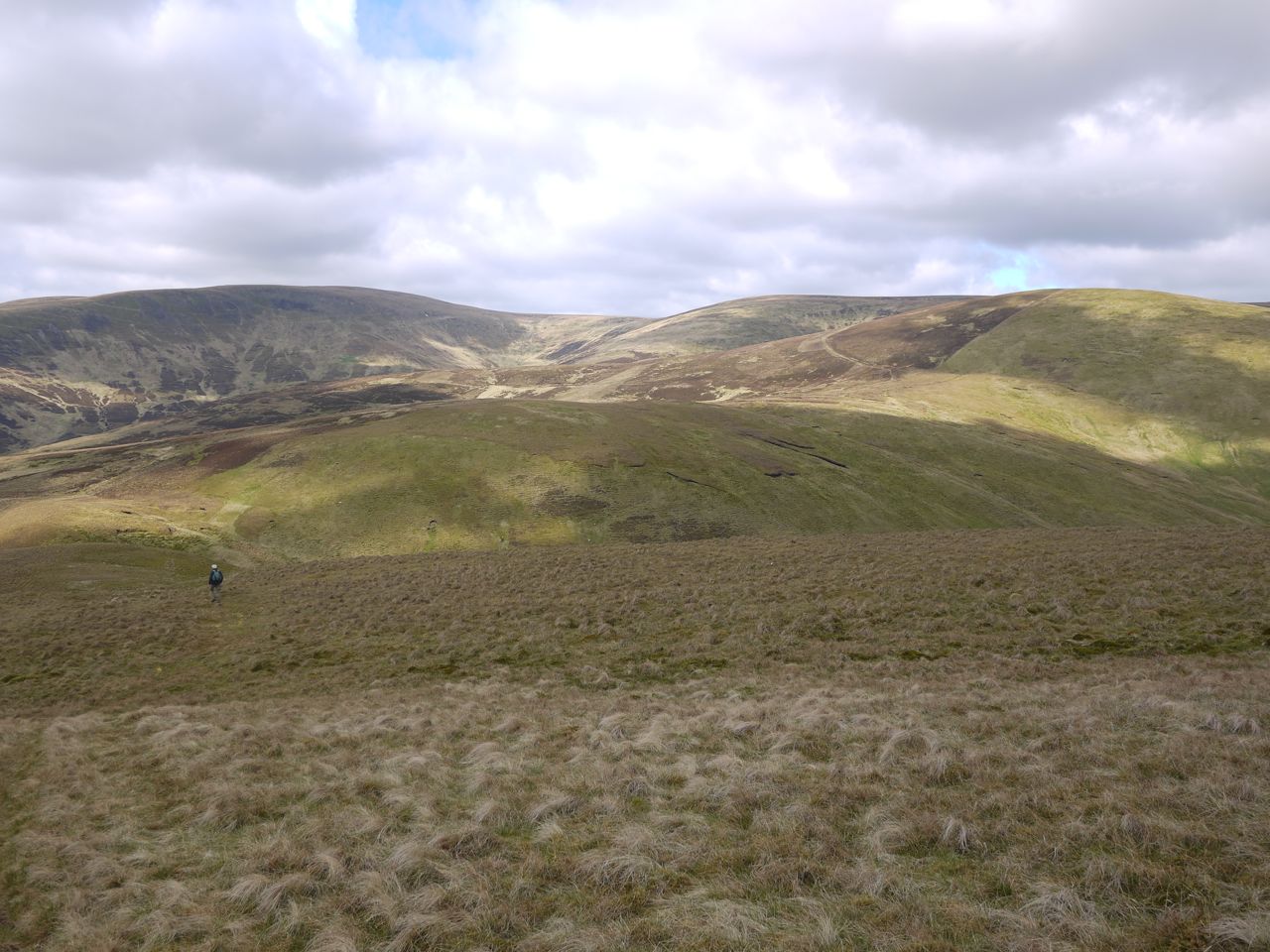
Walking down to Shielhope Head
I then followed the fence down into the col at the head of the Manor Water, walking over to get some better views. There was a lone walker climbing Shielhope Head and I was surprised to see him zig-zagging up the hill, but when I got there a short section was quite steep.
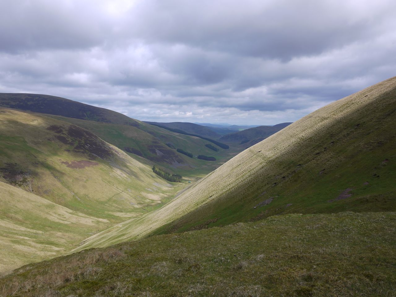
Manor Glen
The col between Notman Law and Shielhope Head was boggy and some diversions were needed to get around the worst of it. Sadly there were some dead sheep and lambs among the hags, victims of the recent heavy snow. The walker ahead of me had used the path around Notman Law, but I when straight up by the fence thinking that would be the least effort overall. The terrain to the SW of the fence was heather whereas I was walking up short grass.
Glenrath Hills from Shielhope
From Notman Law’s summit I dropped down to the easier terrain of the track that I had avoided earlier and continued almost to the gate in the fence. From there I contoured round to a substantial track that climbed up Cramalt Crook to Dun Law. Once on the big ridge the walking was easy going on short grass but the temperature dropped and the wind picked up such that jacket and wooly hat were needed.
The visibility was excellent with the southern Munros and Eildon Hills easily seen. Not much chance of a suntan though.
Cramalt Craig’s cairn was my seat for lunch, a BLT and an apple. Over the last of the coffee I decided to include Hunt Law. Easy enough. Follow the fence down Sherraside Rig. That fence is gone though its line can still be seen in the heather and the odd fence post survives, though I only saw two still upright.
Cramalt Craig summit
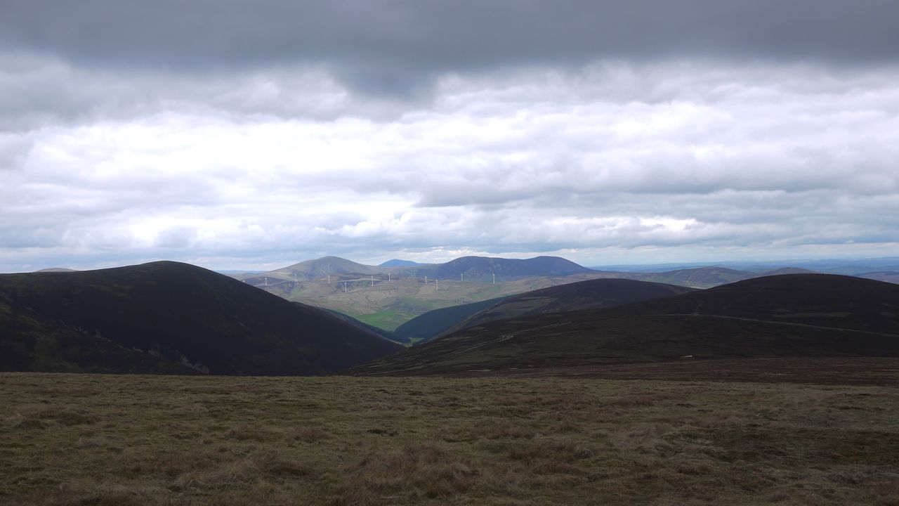
Sherraside Rig is layered, initially firm with short grass, but gradually deteriorating into heather, boggy moss, pools and hags in the col below Hunt Law. There was an ATV track at times but this was often boggier than the surrounding heather. A new looking road crosses Hunt Law just below 600m almost like a rampart guarding the hill, but there was a break in the rampart from which a track ran up to the summit. One of the two remaining fence posts stands where the fence would have changed direction near the summit. There were great views of the Culter Hills, bathed in sunlight.
Culter Hills from Sherraside Rig
I then turned about and headed back towards Cramalt Craig. I wondered if I might by-pass the worst of the bogginess by using the rampart road but it didn’t work out. The road veered too far west and lost too much height so I bit the bullet and climbed back up to the boggy col. The walk back up the rig was a little boring, and being tired it felt steeper than it really was. The jacket and hat were stowed.
Clockmore and Pykestone Knowe from Black Doddy
I contoured around Cramalt Craig at about 770m, initially following a fence that isn’t on the OS. The fence then turned right but I carried on, allowing myself to drift slowly down. Walking across the slope was hard going on the ankles. Once I was on to the slopes of Black Doddy I saw some vehicle tracks heading down a gully and then up onto Pykestone Knowe. The gully must be well drained and much to my surprise was dry except at its lowest point where it crossed a small burn.
The track offered easier walking than the boggy heather of Black Doddy and its peat hags. A little extra descent, and ascent, was a price worth paying. Pykestone Knowe has three cairns, but I found it impossible to get all three in the same photo.
Looking across to Clockmore I had the same choice. An easier walk over flattened heather which dipped 20m below the col, or a trackless direct route through the peat hags. The track won.
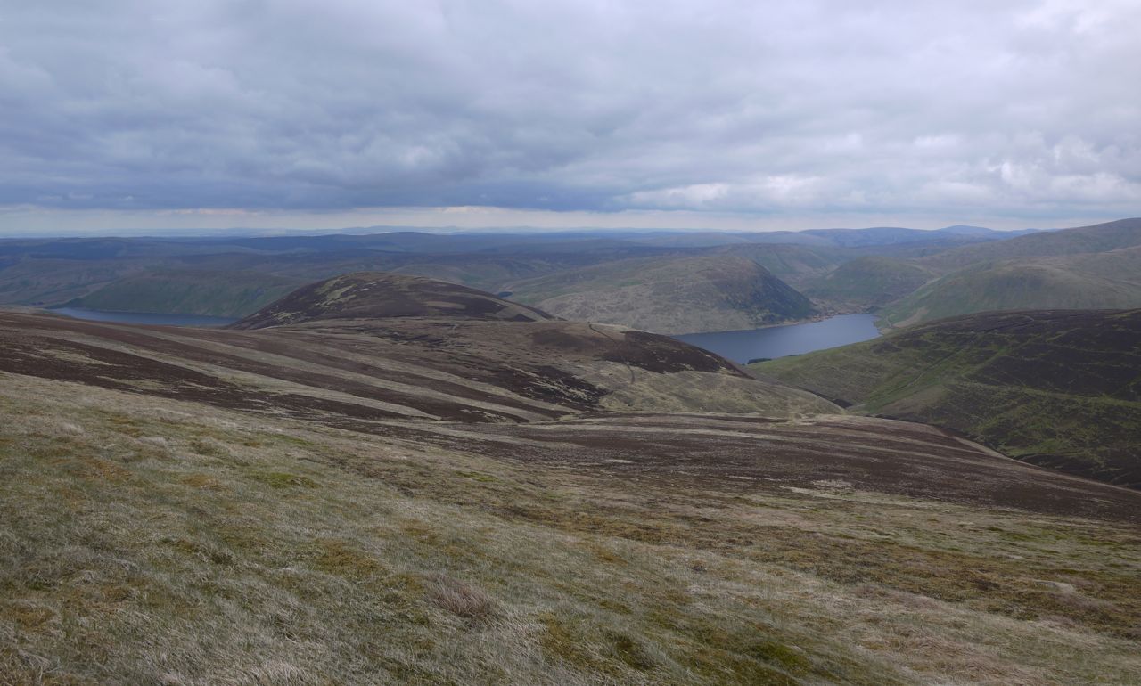
Clockmore’s summit is unmarked, any cairns would probably have sunk in the boggy ground. The hill does though have great views of the Tweedsmuir Hills, Moffat Hills and the Megget Reservoir.
Clockmore summit
There was no track to follow off Clockmore so I headed towards the Cramalt Cut. The shape of Clockmore had me approaching hidden slopes but none were especially steep once I could see them. I spotted a cairn and headed for it presuming it might mark a track. It didn’t.
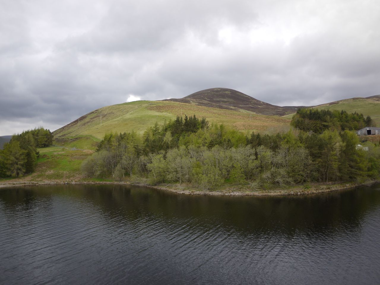
I did eventually pick up a track at 480m that led to a fence which I followed down to the road. Well not all the way to the road. A steep 3m drop stood between me and the road, but proved easier than I expected. The photo at the beginning is Clockmore from Cramalt Cut.
Sunhat: not needed. Sunglasses: not needed. Suncream: not needed.
[osmap gpx=”http://www.screel.co.uk/walks/wp-content/uploads/2013/05/RK_gpx-_2013-05-26_0909.gpx”]
