5.3 miles 2h 53min ascent 496m
Strawberry Hill-Garelet Dod-Ellers Cleuch Rig-Din Law
A bad weather day: drow ‘n’ smirr, with strong winds. I drove past the Menzion stones on the way in and parked at end of Fruid reservoir. In better weather I might have taken in Hart Fell, but for this outing my main target was to be Din Law.
My earlier route plans for Din Law would have come across the Gameshope Glen, which I suspect contains more water than the polar ice caps, so given the recent rain I had hoped the Fruid approach would allow me to keep my knees dry.
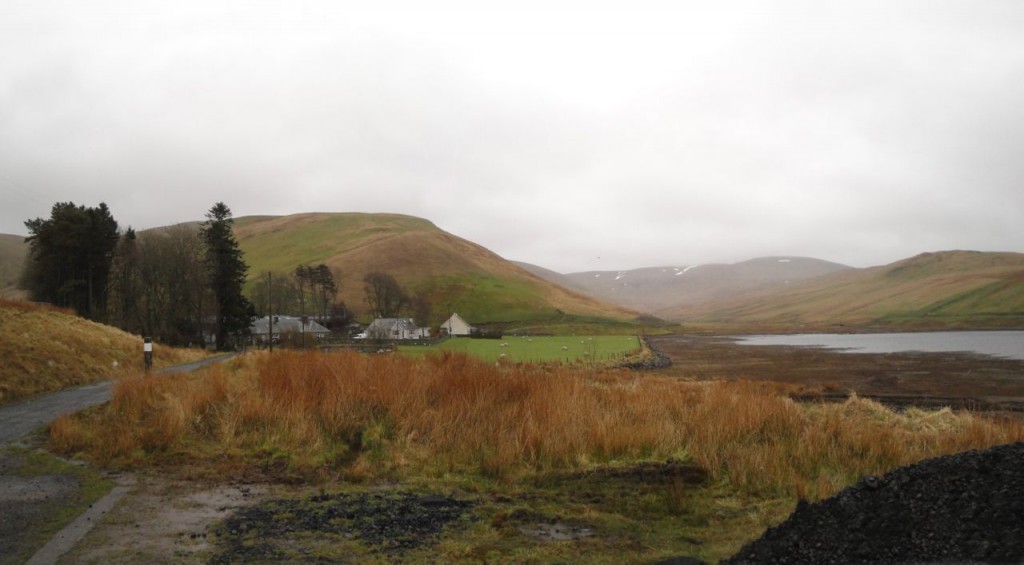
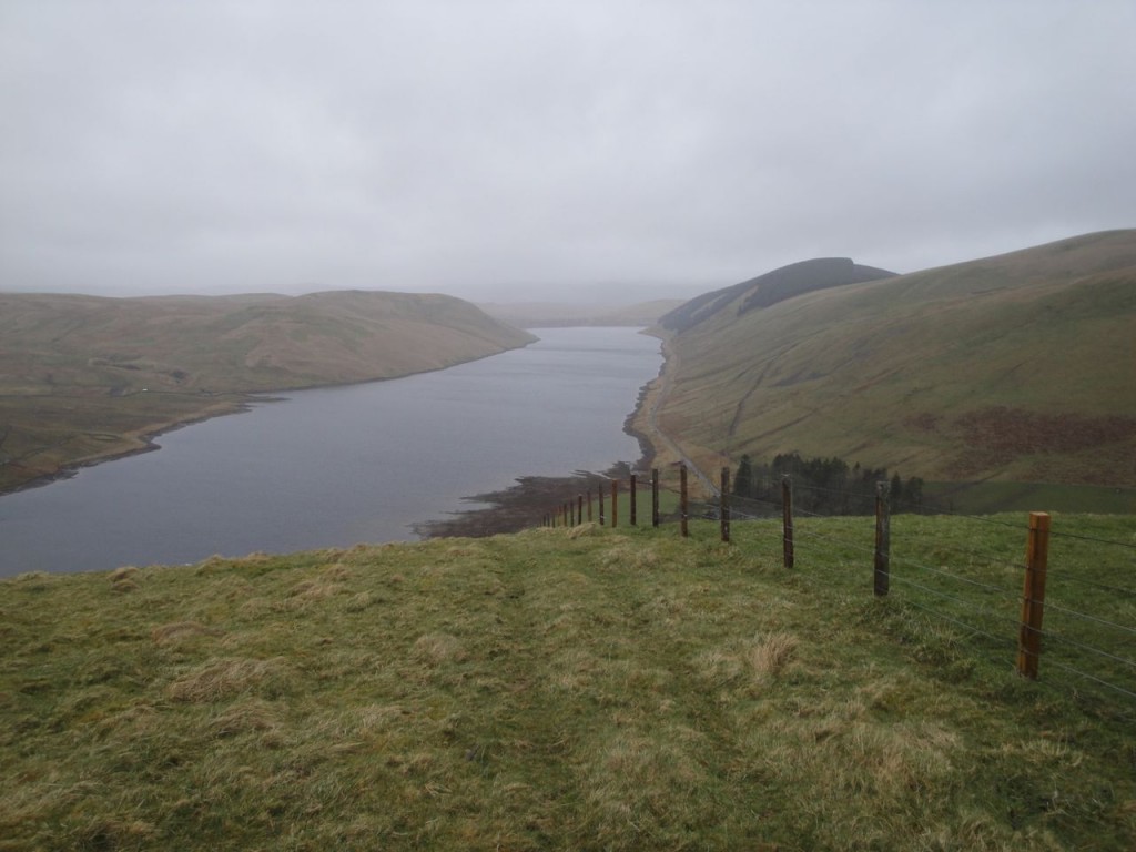
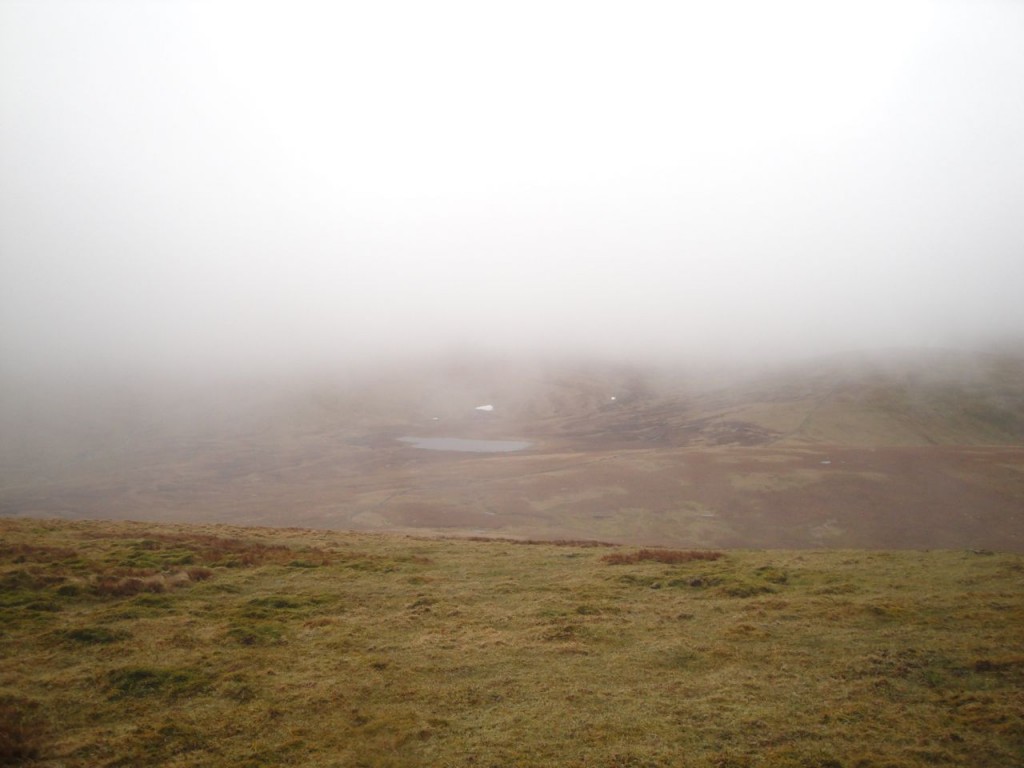
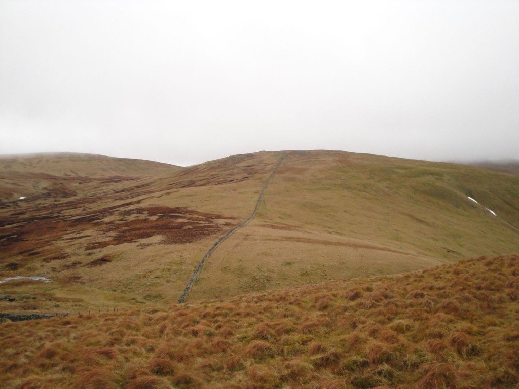
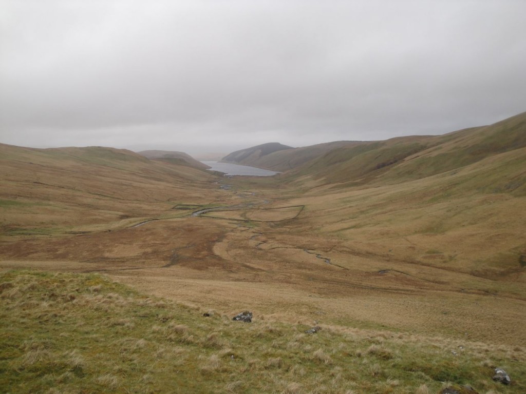
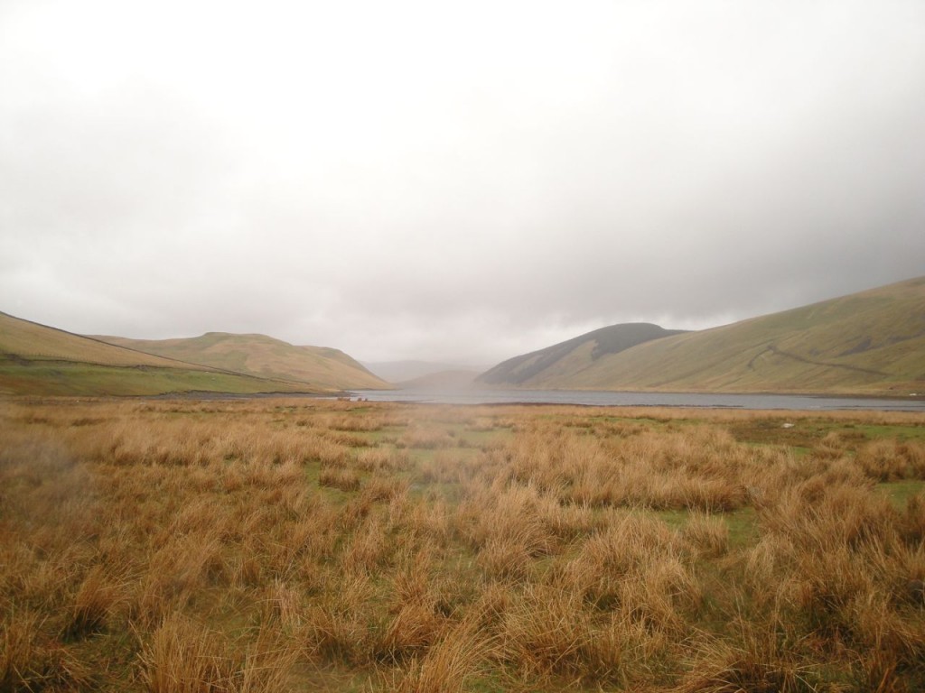
I parked near Fruid with the view in the photo above and headed directly up Strawberry Hill, beside a fence that is not marked on the OS 25K. The fence eventually turns away and an ATV track appears leading most of the way to Garelet Dod. Strawberry Hill was the larger of many shoulders on the western slopes of Garelet Dod, each offering a false summit horizon. The terrain on steeper section was grass and sparse moss, but less steep sections were waterlogged moss with numerous pools of water. The lower slopes had good views down Fruid reservoir, but higher I was in cloud (and rain).
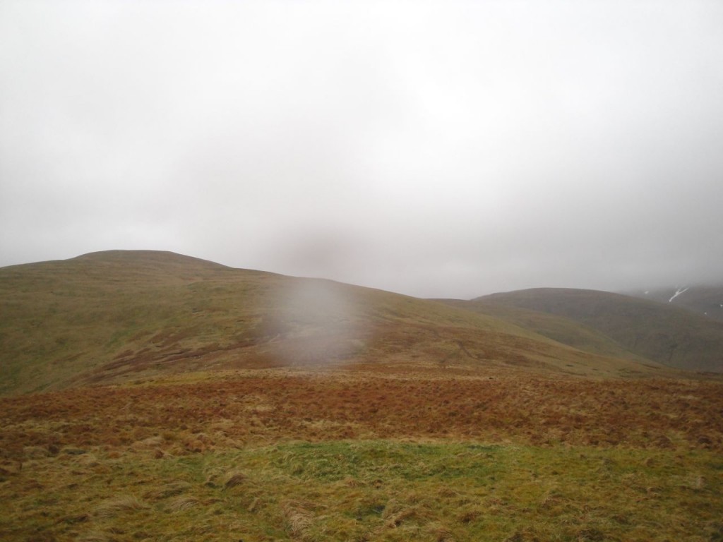
Looking across to Erie Hill I could understand why it had felt such hard work walking up it six hours into a walk last year. It was when Erie Hill disappeared into cloud that I realised the ‘summit’ I was heading up to was not Garelet Hill’s real summit.
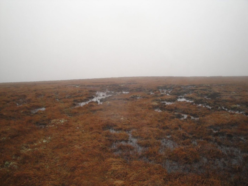
Garelet Dod’s summit plateau is a bog with several low grassy mounds rising up as contenders for summit status. I gave up taking photos of each one when the rain got heavier and my fingers were growing numb. The most promising summit candidate had a track leading over it.
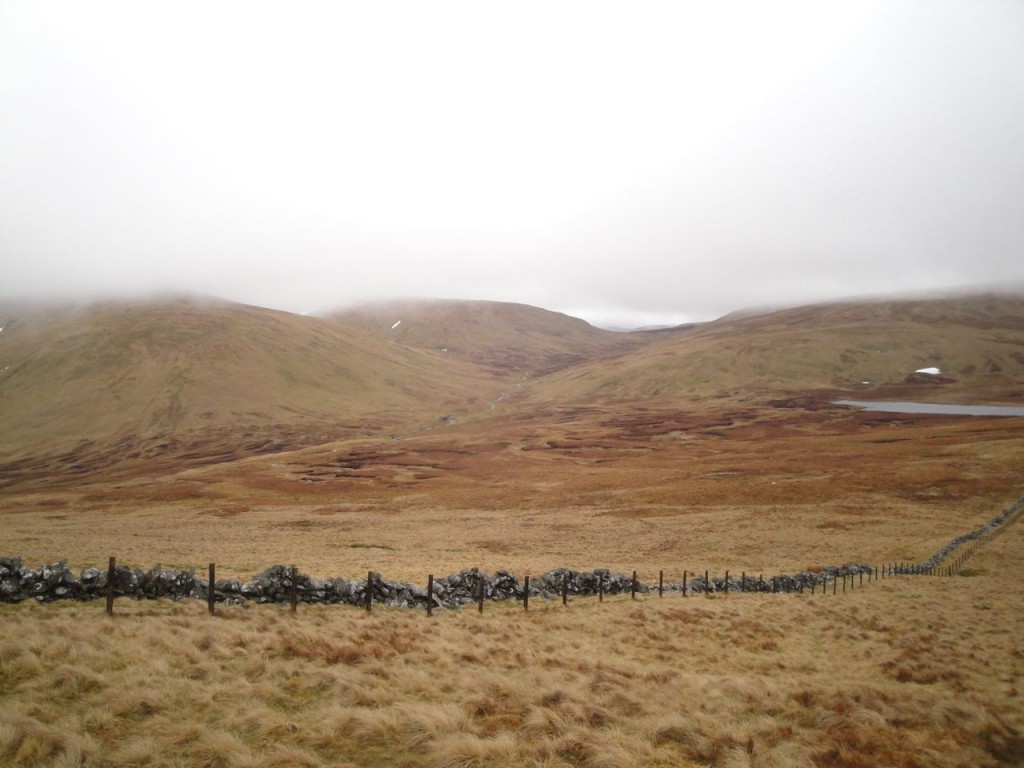
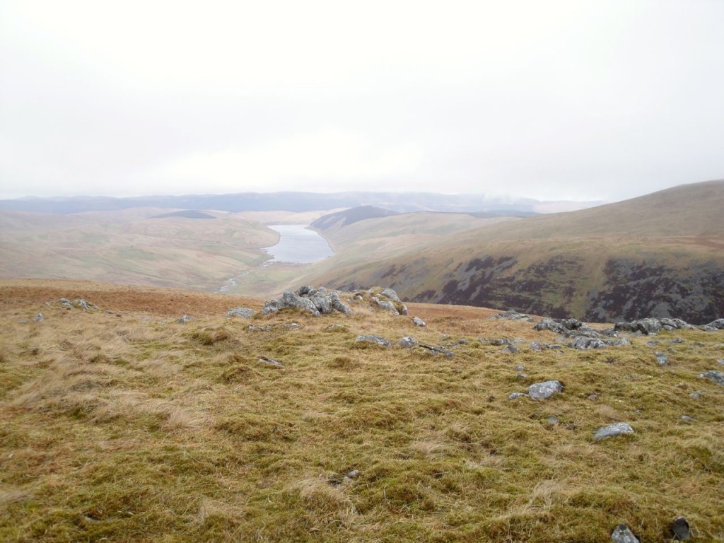
The cloud base was shifting from minute to minute, so sometimes I was in mist and then I would have a clear view across to Gameshope Loch and Ellers Cleuch Rig. From what I could see, the terrain across by the Loch looked none too bad. I had entertained the idea of walking down to the Loch for my lunch but decided against it given the rain and wind.
So I followed the drystone dyke over the boggy section above Garelet Cleuch and up onto Ellers Cleuch Rig. The summit lies just over half way between the dyke and a pair of lochans. I set off from the dyke in mist on a bearing and counting my paces, but by the time I was at the summit the cloud had lifted again. Fruid Reservoir was just visible from the summit.
I had wanted to visit Ellers Cleuch Rig because it is one of the summits Percy Donald listed as sitting within its own 2000 feet contour but not fulfilling his criteria as a hill or top. I think of these 2000 feet contours as ‘islands’, and have been making an effort to visit them all. There are 110 islands.
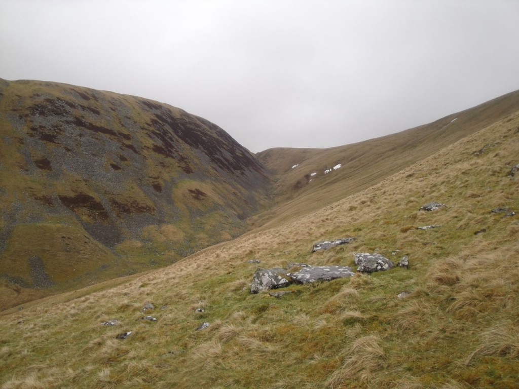
Ellers Cleuch Rig looks rather unimpressive from Garelet Dod, but is more imposing from the south. A steep dip across the upper part of Ellers Cleuch marked a change from the grassy smooth slopes of Garelet Dod to the rocky outcrops of Din Law.
Din Law had some rocky outcrops near the summit which offered both shelter from the wind and somewhere firm to sit for lunch. The cloud even lifted so I could gaze down on Gameshope Loch while eating my sandwiches.
A longer version of this route could continue over Cape Law to Hart Fell and back to Fruid over Birks Craigs but I chose to head down the NW ridge of Din Law. This was easy walking over grass, but the wind was in my face and the rain felt more like hailstones than raindrops. There were some steep sections but nothing particularly worrying except when the slope disappeared over a convexity. On one of the steeper sections I experienced the lubricant effects of sheep poo, reminding me how important it is to watch where I’m stepping.
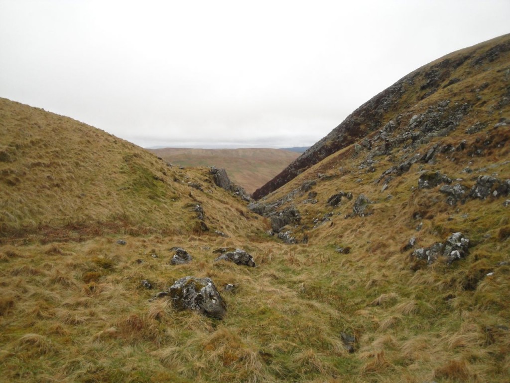
Ellers Cleuch would be an alternate route for descent but I didn’t know that until I was looking back up it. I had wondered at its name. Some sources suggest that Eller is Elder (as in Elderflower), while others say it is Scots for Alder (this source being more convincing). There are neither trees nor shrubs in the cleuch now but 7000 to 4000 years ago these hills would have been covered in trees such as Willow, Alder, Hazel, and Birch. The tree cover apparently began to decline about 5600 years ago with increased grazing, burning etc perhaps playing a part. The cleuchs would have been the last places that harboured trees, so perhaps Alders once survived in this cleuch. The Carrifran Wildwood project just a couple of miles away on the other side of Rotten Bottom is attempting to re-establish the ancient tree cover and Alders are being replanted there.
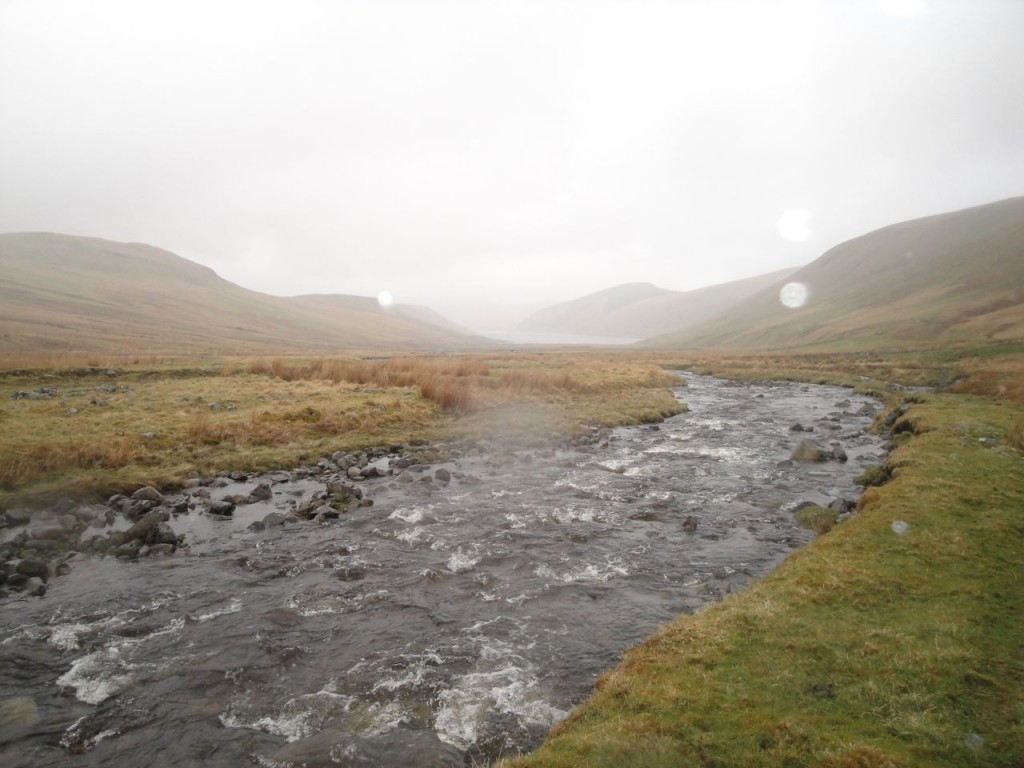
On the lower slopes of Din Law I found myself amongst the dreaded tussocks with their tangles of bleached leaves. The flatter ground between the base of Din Law and the end of Fruid Reservoir was too wet even for the tussock grass. The muddy ATV track wound over the firmer sections of this wetland. Numerous tributaries join Fruid Water, which itself follows a braided course. The ATV track led through the large sheep pen and followed the east bank of Fruid Water all the way to the reservoir, though on its way it crossed numerous small watercourses. Where the track met these it had usually eroded the banks to create wide fords, but narrower sections that I could easily step across were always only a few paces away. I had expected this last flat section to be very boggy indeed but it wasn’t too bad. Having said that I had wet feet by the end of the walk.
The line of hills running from Garelet Hill at Talla down to Saddle Yoke at Blackshope would make a great linear walk, though the drive between would be quite a long one. I’ve previously taken the northern hills of this line in a Gameshope Round and the southern hills in a Blackshope Round. These outings missed the central hills, Din Law and Ellers Cleuch Rig so this brief outing allowed me to complete the set.
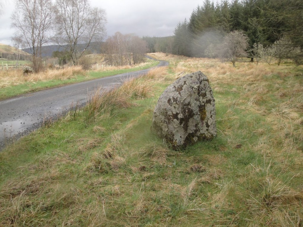
The rain had eased off as I drove out so I stopped to get a photo of the Menzion stones, the largest of which appears on the OS as The Giant’s Stone.
[osmap gpx=”http://www.screel.co.uk/walks/wp-content/uploads/2013/05/RK_gpx-_2013-05-11_1042.gpx”]

