4.3 miles 3h 2min ascent 446m
Mrs Drow ‘n’ Smirr had gathered her brows like a gathering storm. Her view being that the weather forecast and my plans for the Dun Rig Donalds were incompatible. I was not to be easily dissuaded, however. The Met Office, BBC and MWIS forecasts predicted the Borders would escape snow until evening, and would indeed be dry.
The plan was to start from Glenrath Farm in the Manor Glen, head up Stob Law then on over the other Donalds and back down to Glenrathope. If the weather turned nasty I would would turn back after Glenrath Heights, leaving Dun Rig and Birkscairn Hill for another day.
I parked just off the Manor Glen Road (NX207342). I could have driven further but felt parking near the farm would be like someone parking in my driveway. The angry farmer from a couple of years back still makes me anxious, and I was walking on a public right of way then.
Out of the car, and into the drizzle, protected by SOAC and waterproofs I headed past Glenrath Farm along the track, past several pheasants, towards Glenrathope. The hills had a dusting of snow and the visible lower tops (600m) were free of cloud.
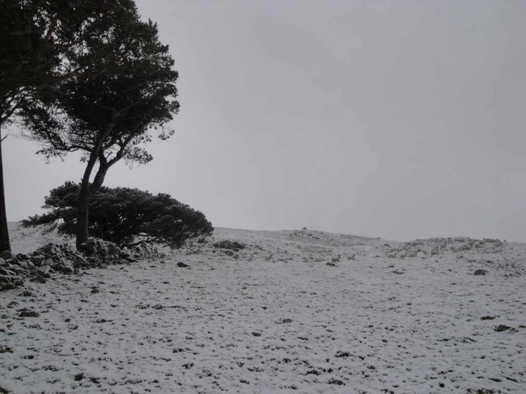
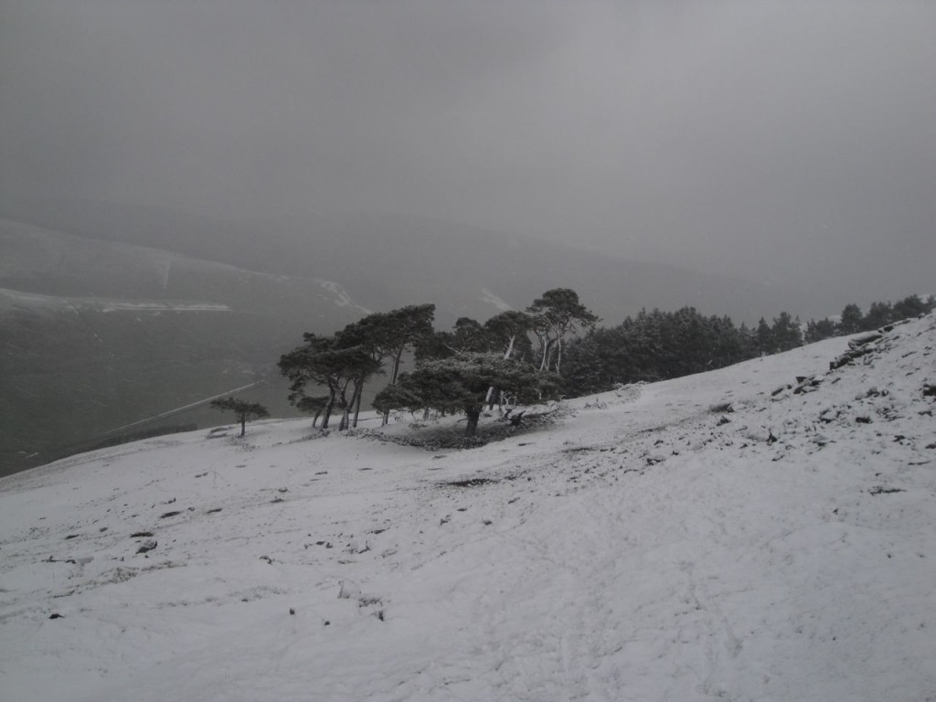
I left the track a little way past a cattle grid and headed up towards a stand of trees, passing through the remains of walls and scattered Scots pines at about 350m.
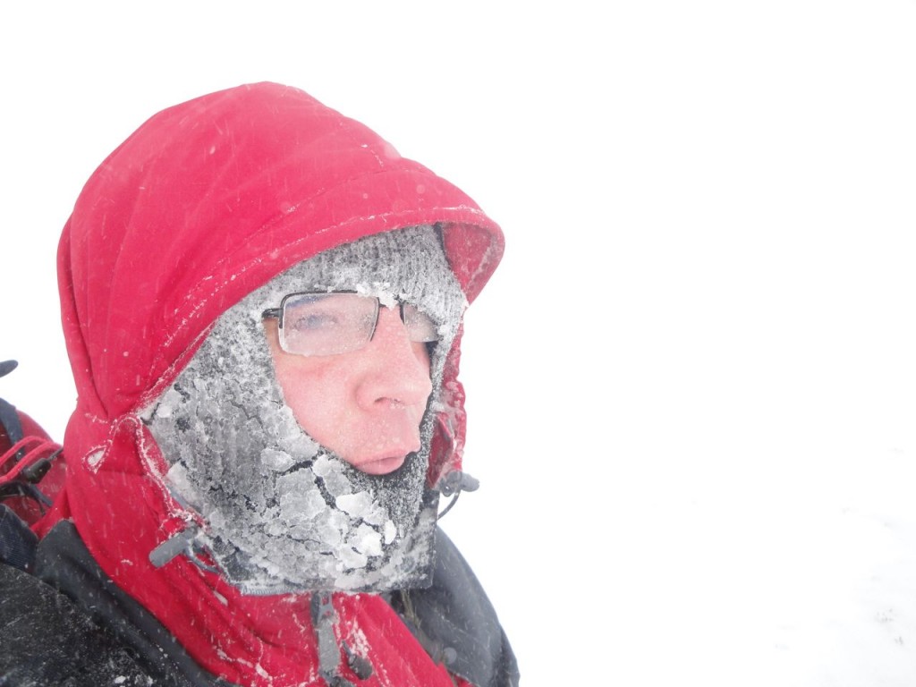
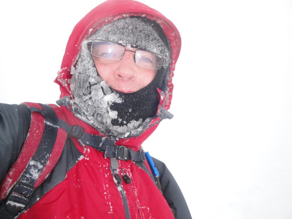
From there I could see a small cairn a little further up and headed towards it. There was a faint track but it was soon lost in the snow. At this stage I was in the lee of the ridge leading to Glenrath Hill but once I reached the ridge the wind picked up significantly. The wind was strong enough to blow me off route, the snow biting into my face, requiring deployment of the balaclava.
I stopped by some rocks on the flatter section at about 500m to rethink the walk. The wind was my main concern. I was making much slower progress than planned so decided on the shorter walk. I would to turn back if the weather worsened or the snow became deeper.
There were some white sections amongst the mixed dark and white of the snow covered heather, which I presumed were tracks. The snow tended to be deeper in these so I walked beside them where they existed. The heather was shallow suggesting it might have been burnt within the last few seasons. The possible track I was following eventually started to fall off down the slope so I switched to the “up the maximum slope” navigation method.
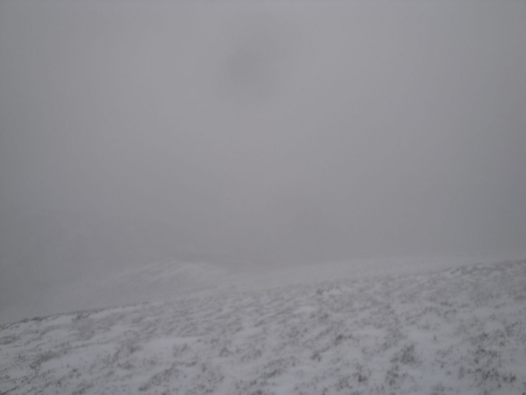
Out of the mist and snow came a fence that was not marked on my map. It clearly wasn’t running along the top. I walked along the fence while it was climbing but soon enough it was descending again. Unfortunately visibility had worsened, and the wind was both stronger and colder, making me wish I had brought goggles. Looking along the fence it was easy enough to see it for 30m or so but elsewhere everything was white.
The time had come to turn back.
I thought it would be an idea to dig out the electronics and check where I was by GPS and found I was inside the 670m contour. Since the summit is at 676m so I would head there then bail out. The up the slope method proved difficult here since the summit is relatively flat and without GPS it would have been impossible to find it. There was a small cairn of half a dozen rocks but I suspect it was not at the actual top.
Visibility was still limited but at least the wind was now behind me. I headed west and eventually came upon one of those white gaps in the heather that might have had a track beneath it, and followed it down. I came out of the clouds looking down the Hanging Cleuch towards Glenrath, but rather than heading down into the flooded fields near the farm I walked across to the pine plantation and back down to the Glenrathope track.

