7.1 miles 4h 32m ascent 521m
 Stob Fell-Pennygant Hill-Cauldcleuch Head-Millstone Edge-Tudhope Hill
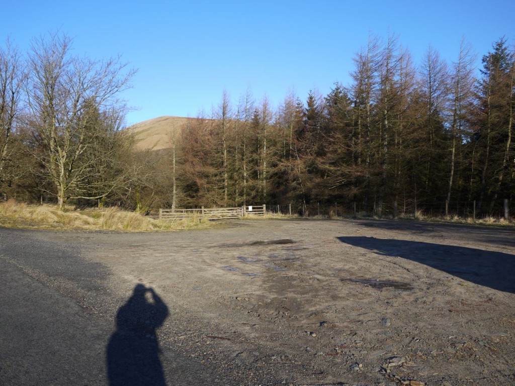
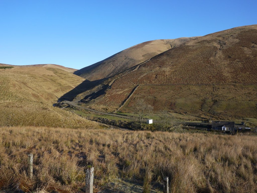
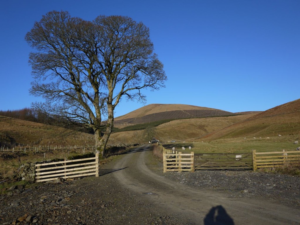
There is a plantation of larch and spruce on the road above Billhope with space to park a car or two at its gate. From there, in bright sunshine, but freezing temperatures I set off for Billhope and the bridge over Billhope Burn. Walking down the road, ruminating on how appropriate -hope (hollow) was as a name, I spotted an opportunity for a shortcut by crossing a field directly to the bridge at NY445977, perhaps saving 400m. Entering the field proved easy since there was a gate, but exiting presented what management types call a challenge, with two barbwire topped fences in the way.
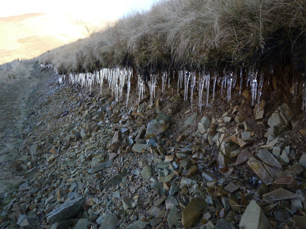
After about 300m of the path along Billhope burn there was a small quarry with a path leading up onto South Mid Hill. The first section was steep enough to mimic a scree slope but soon eased off. The right thing to do here would be leave the path before it turns into the cleuch and head directly up the hill. I say that with the benefit of hindsight since I stayed on the path which carried me into an increasing steep sided cleuch and then petered out.
The climb up to the ridge of South Mid Hill proved interesting since it was over partially frozen moss, grass and pools of water. The sensation and sound was like walking in snow: crunching, and occasionally the more worrying crackling of frozen puddles. Once I got onto the ridge there was a faint track, which was presumably made by walkers who had not stayed on the path as far as I did.
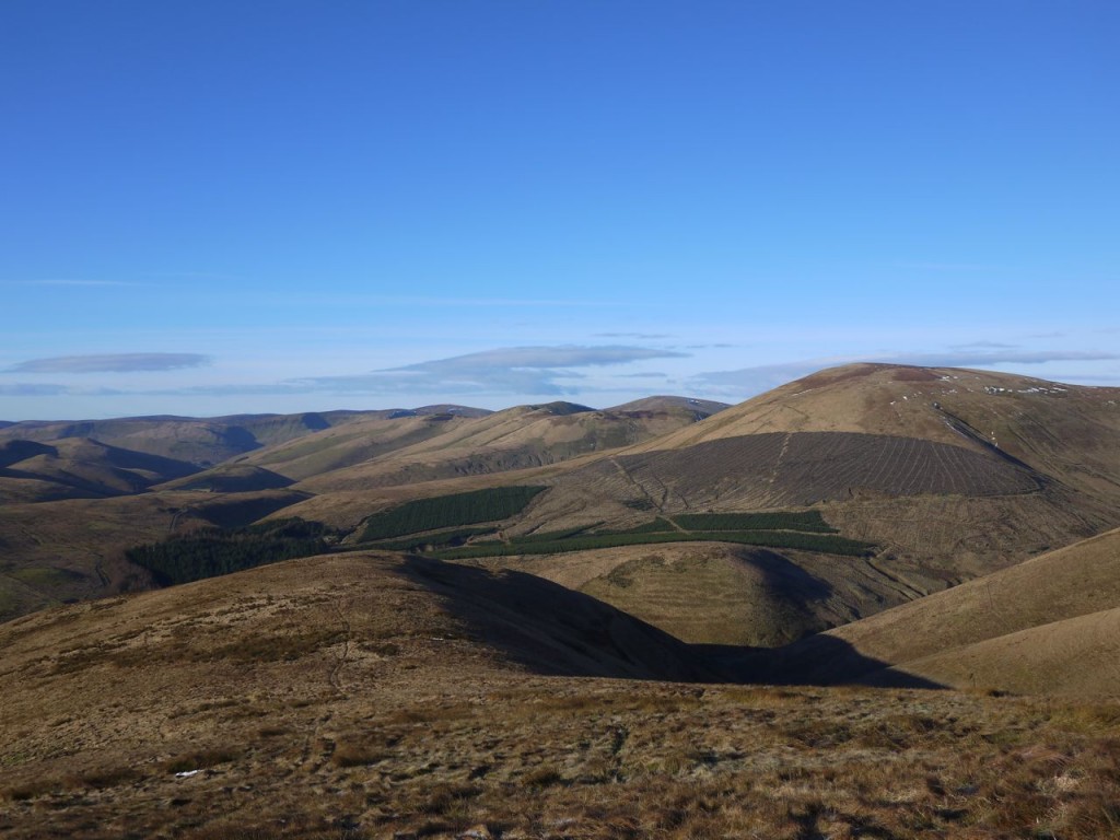
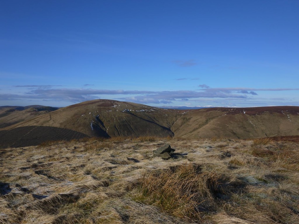
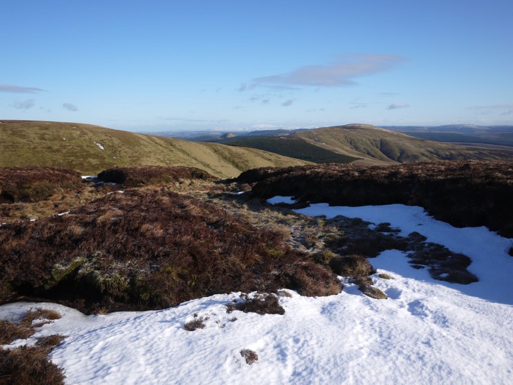
I walked through the semi-frozen bogginess of South Mid Hill, the sun glinting on pools of water, and found that the ground firmed up once I reached the higher ground of Stob Fell. There were small areas of snow in hollows but the distant Cheviot and Moffat Hills were completely white.
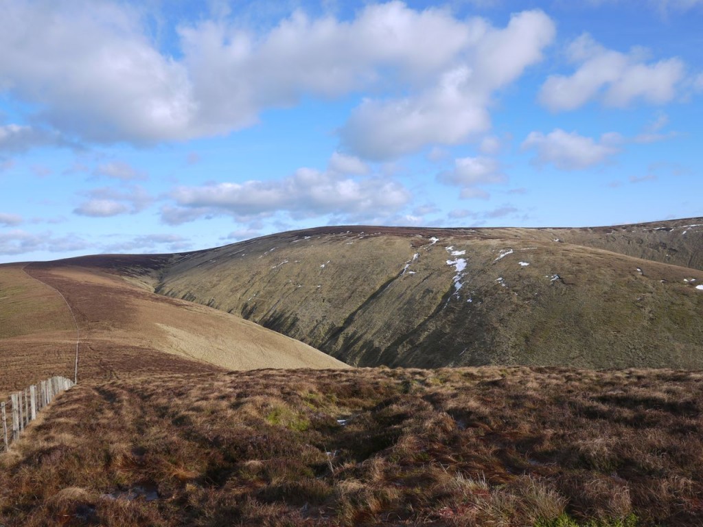
The route was straightforward, following the ridges from Pennygant Hill via Muckle Land Knowe to Cauldcleuch Head, then along Footman Hass via Millstone Edge to Tudhope Hill.
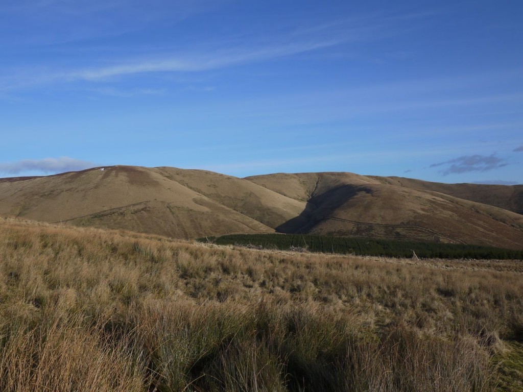
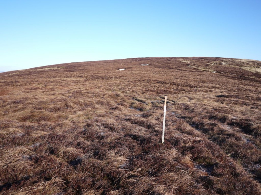
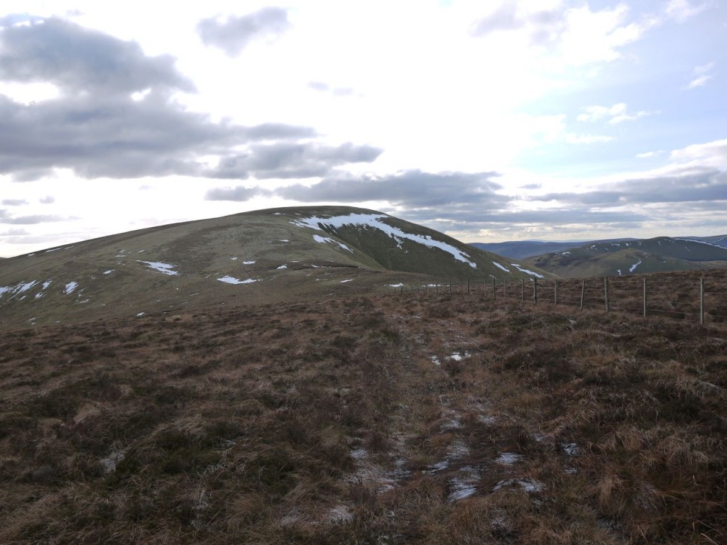
There are a number of interpretations for the meaning of Pennygant (Pen Y Gant) Hill: the hill of the foreigners, hill of the boundary/edge, or hill of the wind. Having walked its ridge I would tend to support pen y gwynt (hill of the wind). Whether it is a hill of wind, boundary or foreigners, Pennygant is a pathless boggy moor, with heather and deep moss. Walking across it was a good aerobic workout and in poor visibility would be a challenge.
Someone had planted a number of orange topped stakes along the way which proved as good a route as any and once at Muckle Land Knowe there was a fence to follow for the rest of the walk. A my appetite grew I wondered where I might find some shelter for lunch. The hollows were filled with snow and I worried if I might be swallowed up by peaty mud beneath it. Archeologists millennia from now would find me and write papers on the meal I had eaten before being cast into the bog. “As with many of the peat bog bodies he had eaten the ritual meal of bread, ham, cheese and pickle”.
Cauldcleuch Head, the main aim of this Donald-bagging walk, proved quite underwhelming of itself. Nothing other than a trivium of fences marked its summit but being the highest point thereabouts it had extensive views: Skelfhill Pen and the Eildons to the north, and the snow covered hills of Moffat and the Cheviots to west and east.
The temperature dropped considerably on the north slopes of Cauldcleuch Head (the clue is in the name I suppose) and this produced an intense feeling of fear for a few seconds until rational thought regained control. Presumably this must have been some sort of adrenaline mediated autonomic response. Weird.
Tramping through the semi-frozen moss and heather of Footman Hass, listening to the crunching beneath my feet, boredom must have set in, and I began to wonder if with my eyes closed it would seem I was walking through snow. So kids, just take it from me, if you are walking through deep undergrowth on uneven ground, don’t close your eyes. Don’t ask, just follow uncle Michael’s advice.
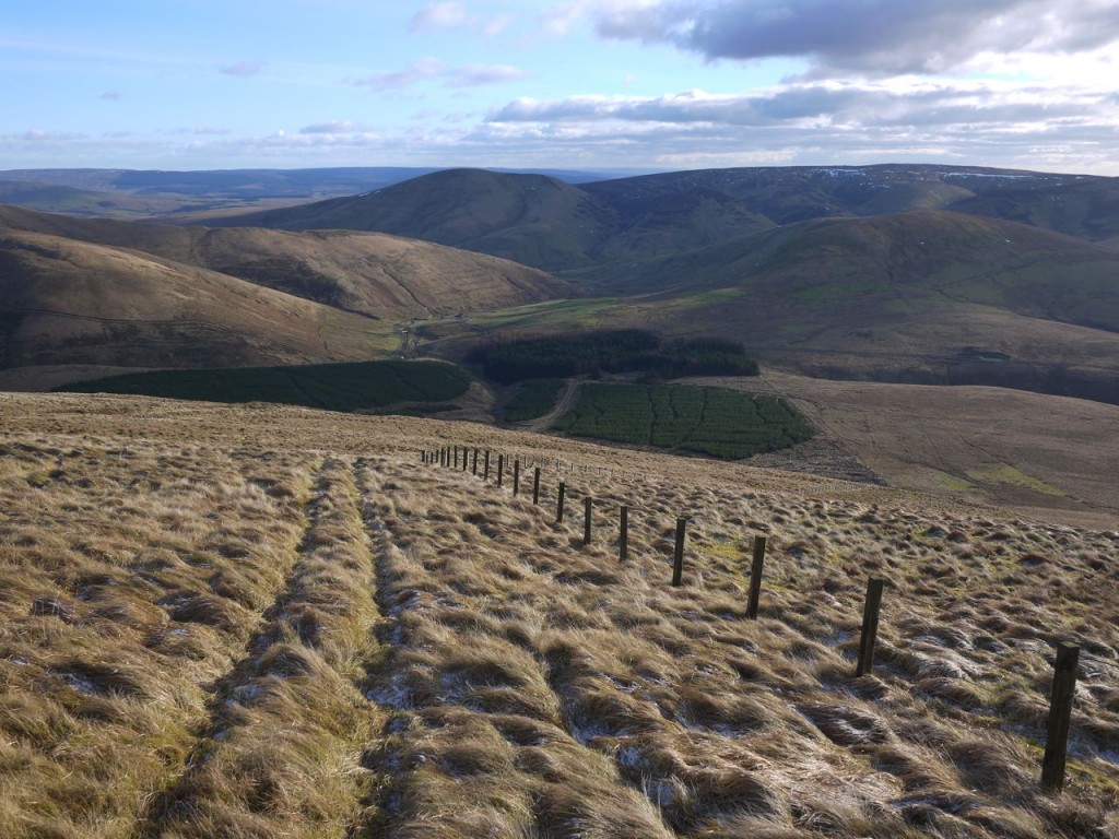
Tudhope Hill (which locals pronounce without vowels, T’d’h’p) has a trig pillar and appears to be the highest point of this walk, though it is 20m lower than Cauldcleuch Head. The descent from Tudhope Hill was a bit of strain on ageing knees but the ground eventually became firmer. I began to wonder if this walk might not have the usual terrain set-up of these southern hills: wet undergrowth that thoroughly cleans footwear surrounded by a ring of muddy ground to re-encrust them just before the end.
On the lower slopes my smile faded as I looked down on the rush like grass between me and the car. The sun had worked its magic on the ground there and thoroughly defrosted the mud.
I suspect this will be a very wet walk on warmer days.
[osmap gpx=”http://www.screel.co.uk/walks/wp-content/uploads/2013/02/RK_gpx-_2013-02-02_0954.gpx”]

