Woodhead Hill is my closest Marylin. I see it most days. That its name does not have a tick next to it has been an irritation for some time. This was the last weekend of the year and I was working until Sunday lunchtime. It was too late to go far, the weather had been wet, wet, wet, but I felt the need to get out in the fresh air. The time had come to conquer Woodhead Hill.
I parked in a lay-by on the A711, near Lochanhead, then walked up the authentically pot-holed farm track to the forestry track running around Mabie Forest. Here I turned right and after about 300m there is a moss covered wall running up the hill. Given the recent downpours I had expected, and dressed for, a mudfest but the ground was firm and well drained.
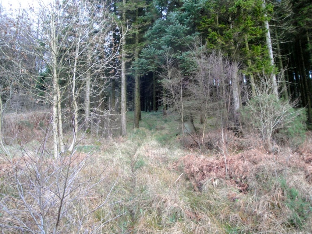
The way up through the trees. This is the view from the forest track and the wall is just on the left, visible to eyes but not camera
The initial steep section was easy going on an obvious faint track, but as the gradient eased the way was often blocked by fallen trees requiring some zig-zagging since I had neglected to pack an axe. The plan was to follow this wall until I found the wall heading off to the right at the 215m contour. It was well camouflaged in moss but I was looking carefully and spotted it. It could be missed.
This new wall proved impossible to follow due to young trees so I struck off into some clear ground just to the left of the wall hoping to find a forest break heading in the right direction. I climbed a wee knoll to get a better view and noticed a track next to a wall. I presume this is the same wall I had tried to follow earlier.
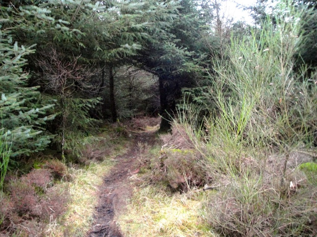
Once on the track the going was easier under foot but navigation was a challenge since all that could be seen was forest. All was going well but then the track took a ninety degree left hand turn. Another track joined from the left after about 50m and one headed off to the right after another 50m. This was heading in the right direction so I turned right.
The map contours suggest it should be up hill from here but there is some up and down. At first I thought I had missed the summit as the track went downhill but I pressed on and eventually it started climbing again.
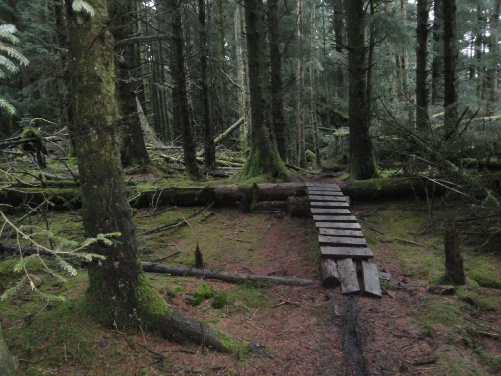
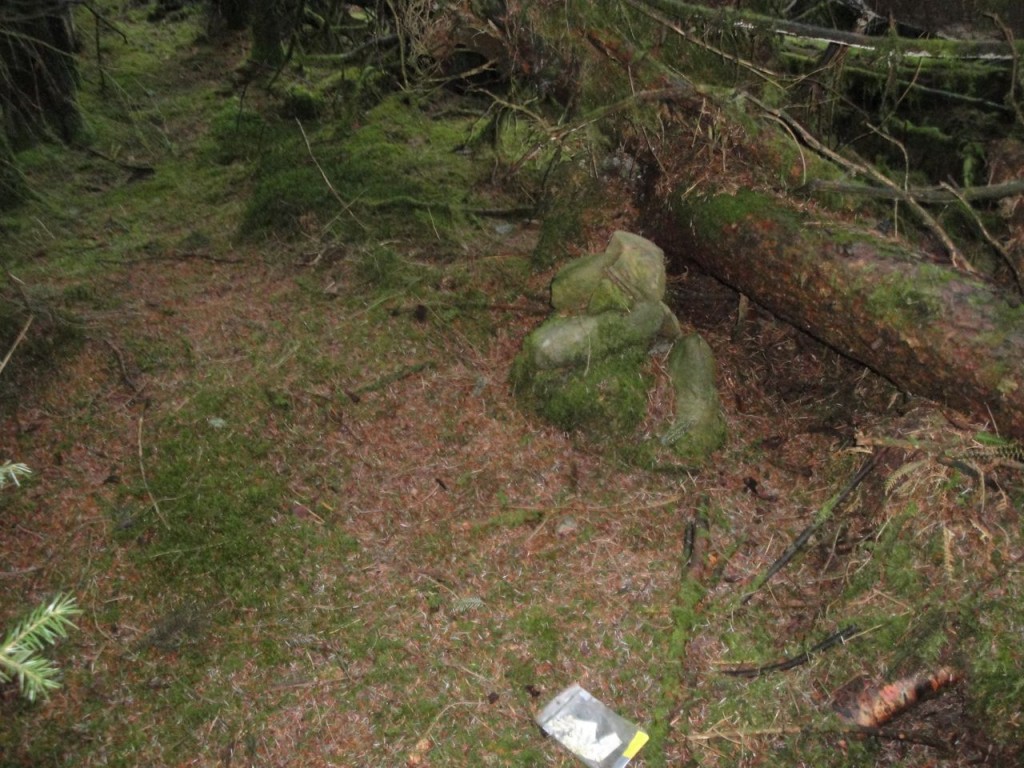
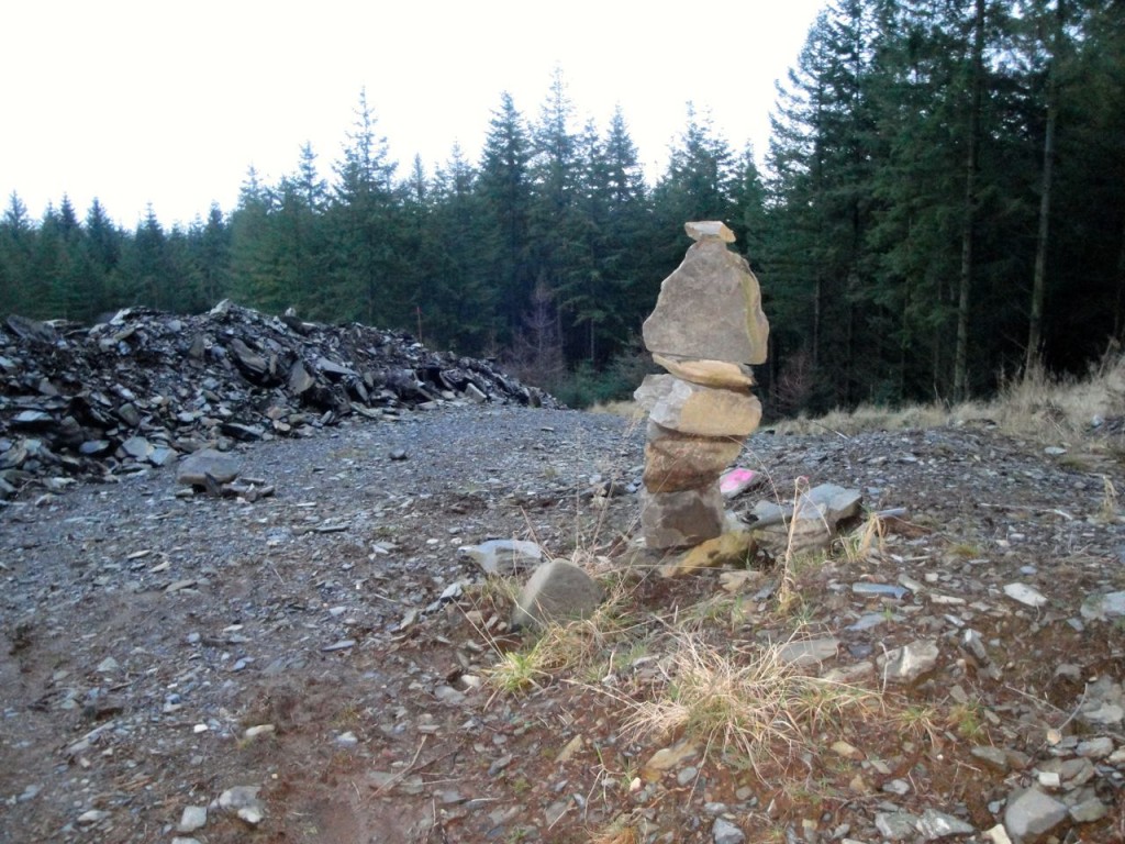
Eventually I reached a place a wooden ramp over a fallen tree, where the track was reasonably straight, and it looked to be the highest point. I had read that the summit is just off an MTB track and is marked by a small cairn. No sign of the cairn though.
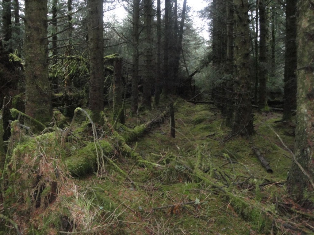
I had my excuses ready (getting late, soon be dark etc) and got my GPS phone out. I was clearly very close to the summit, indeed it was only ten double paces off the path. The cairn is hidden amongst fallen trees and once you know where it is it can be seen from the track.
I decided to follow the MTB track back down and hopefully find an easier route up, but I was not successful in that particular endeavour. There were several MTB tracks and I took photos at the various junctions, but they all look the same. At each junction I tended to chose the track heading in the right general direction, but made an early mistake by turning onto the track mentioned earlier (50m after the left hand turn on the way up). This initially went north but then gradually turned west rather than east. I didn’t realise this until I came out of the trees and saw the River Nith in the distance.
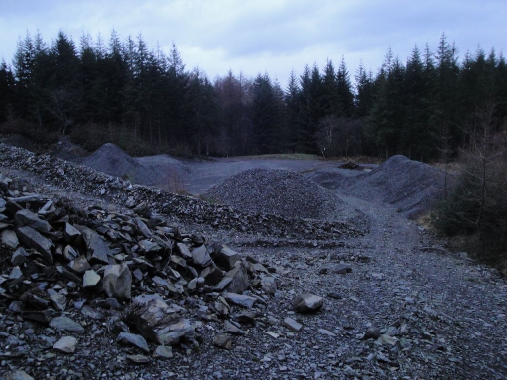
I was tempted to backtrack but the light was failing and I wanted to get out of the forest while there was still light. This track brought me onto one of the major forest tracks at about 200m and I turned north again. This large track ends after 200m.
There are MTB routes heading off to the right which join up with the perimeter track but I headed onwards through the woods since I have walked that way before and it is less of a zig-zag than the MTB route. This way I came out of the forest due south of Hillhead Farmhouse. It was then a gentle stroll back to the car in the rain.

