Carrifran Wildwood-Carrifran Gans-White Coomb-Firthhope Rig-Rotten Bottom-Cape Law-Under Saddle Yoke-Saddle Yoke-Peat Hill
Most of the hill names around here have an English ring to them, and though their origins are often Norse, their meanings are obvious; for example Hart Fell, Saddle Yoke or Broad Law. Carrifran Gans is less obvious, and I have read various suggestions but the one which rings true to me is Caer-y-Fran, cymric for Fort of the Ravens, or with a bit of poetic license Place of the Ravens. Caer Gigfran actually translates from modern Welsh as Fort Raven (Google translate). The cliffs at the head of Carrifran Burn are now called Raven Craig and perhaps they too were once called Carrifran? The burn is Carrifran, as is a local farm. Since “gang” is Scots for go, this large hill is the one passed on the way to the Raven Craig.
There isn’t a great deal of parking space near Carrifran so I stopped in a lay-by just before the bridge over Carrifran Burn, about 150m from the entrance to Carrifran Wildwood. There is a car-park at the wildwood site but the gate was closed. It wasn’t locked and I wasn’t sure if parking was allowed but a car was parked in there.
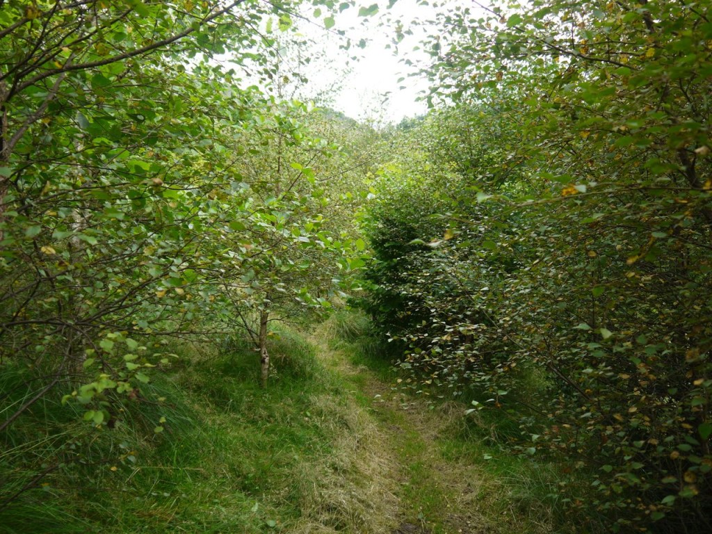
The Carrifran Wildwood project aims to restore the area’s original flora (and therefore fauna), by planting trees appropriate to the area. You can have a look at their website. This is clearly a long term project and the earliest plantings are only about ten years old. There is some way to go before this has reverted to a natural wilderness but you can get a flavour of it walking through the young trees.
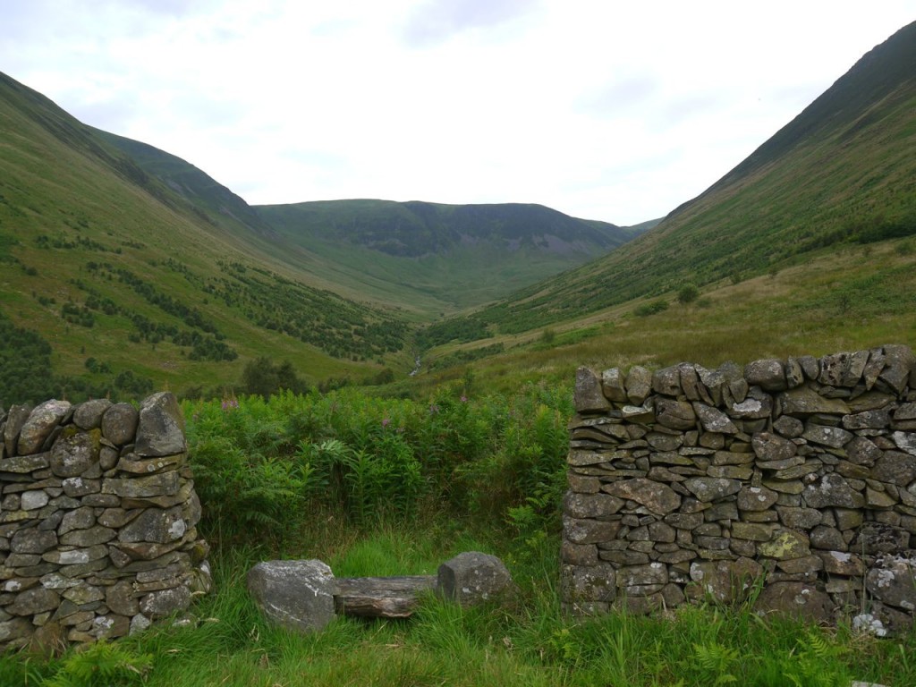
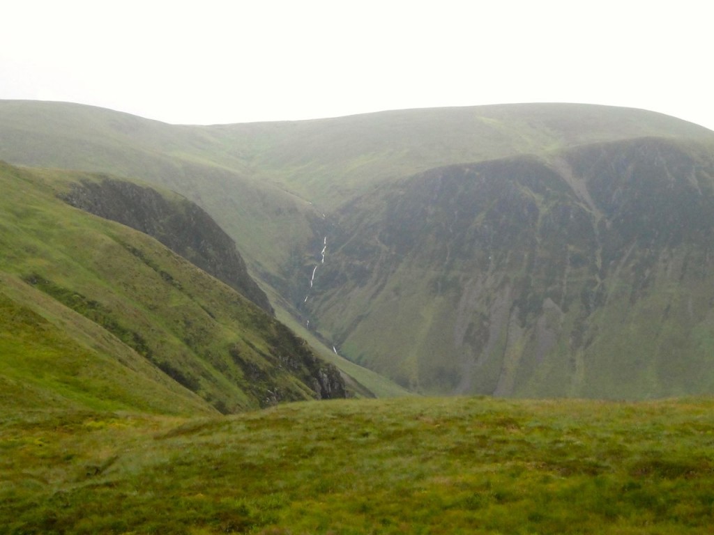
I headed along a path through the wildwood which is signposted to the “viewpoint”. This is an old sheep sheiling sitting atop a small knoll in the valley. There is an excellent view up the U-shaped glacial valley to the cliffs of Raven Craig.
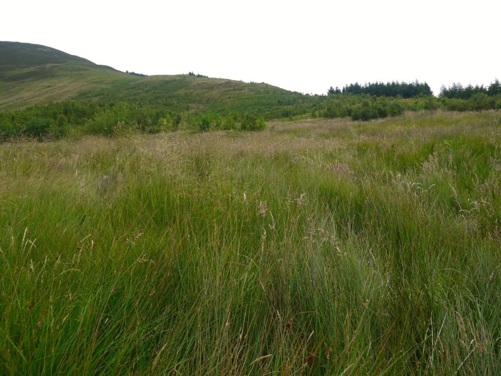
My plan had been to head up from here to the fence climbing over Dun Knowe to Carrifran Gans, but the land was pretty wild looking so I headed down a faint track through chest high ferns which led me to the path leading up the valley. Unfortunately this began to descend, which was not my wish, so just after passing a small stream I turned NE and made a beeline for the trees visible on the ridge. The stream was just to my right throughout this section, audible but invisible beneath very deep grass. Every now and then I would come across sections of flattened grass about a metre across, somewhat akin to small crop circles which I presume were caused by an animal.
My route was barred by a steep sided knoll about where the T of Keld Pot is on the OS map. I tried to skirt the southern flank of this but had eventually to climb its steep sides. I suspect it would be better to just go straight over it. I reached the trees and fence at about 280m having worked up quite a sweat. I could see my next target, a plantation of trees further up the steep ridge of Carrifran Gans; and steep it was, the next kilometre would be a 380m climb. There is a brief flattened section at Dun Knowe where the fence takes a small bend and a fallen wall offered a comfortable seat. Fifteen minutes rest and a slug of water had me recharged for the final climb to the summit. What appears from the road to be a path up this ridge is in fact a collapsed dyke. In some of the steeper sections this offered the best footholds but beware, the stones aren’t stable.
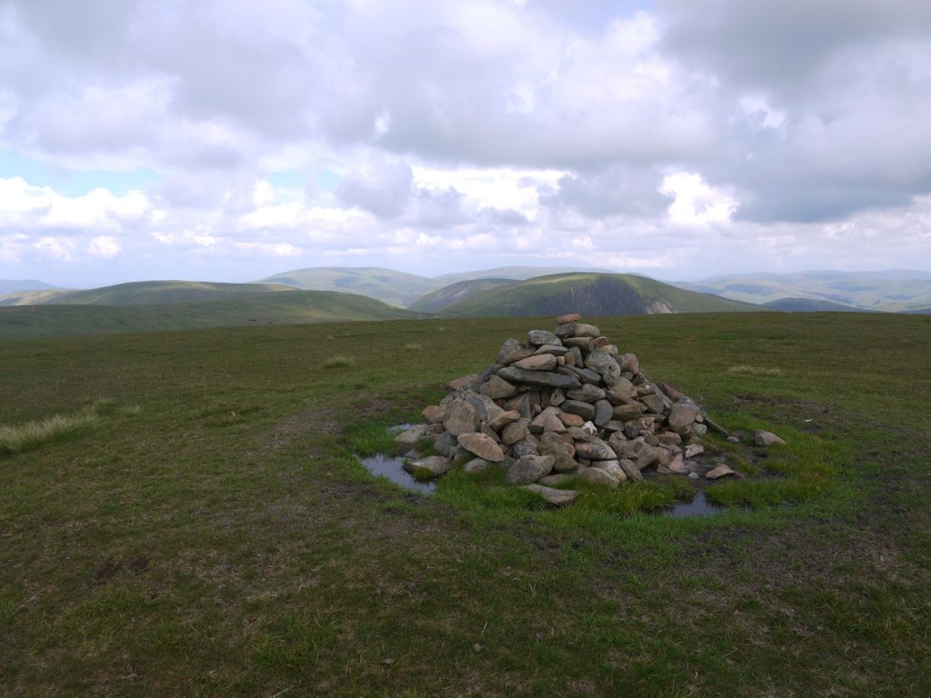
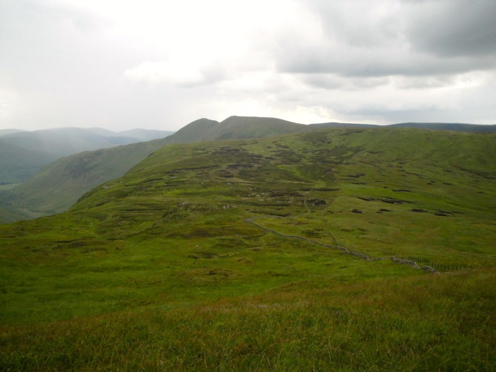
After all this hard work, I found myself on the featureless plateau of Carrifran Gans. This hill, with its cliff-steep sides always looks impressive from adjacent hills, but the excitement is all in the climb and not in the summit features. The summit cairn is a dinky wee thing but the only seat for miles. There is a faint track heading just south of east from the cairn, which I presume is a route down the eastern ridge either finding a way to Polmoodyburn Bridge or more likely joining the forest tracks to Polmoody, a much longer but less steep route. It is worth wandering over to have a look across to to Raven Craig, Saddle Yoke, Rottten Bottom and Hart Fell. As I walked the fence to my right suddenly rang out, and I looked up to see a pair of deer running away. I presume one must have twanged the top wire of the fence as it jumped.
The next hill on the route, White Coomb, with its cliffs, the coomb, in summer grey rather than winter white, sat just a gentle stroll across slightly sodden grass. The weather had held out so far but I could now see the rain approaching from the south and feel the breeze picking up. Visibility remained good though and from the summit I could easily make out the Eildon hills.
White Coomb’s summit cairn stands a little way from the fence and has its own moat. The last time I was here it was an empty ditch but today was filled with water. I sat on the cairn to have my lunch and had to be careful to keep my feet out of the water. Usually on these hills I don’t meet other walkers but White Coomb must be a real pull because I met three pairs of walkers up there (four poled, two sans poles).
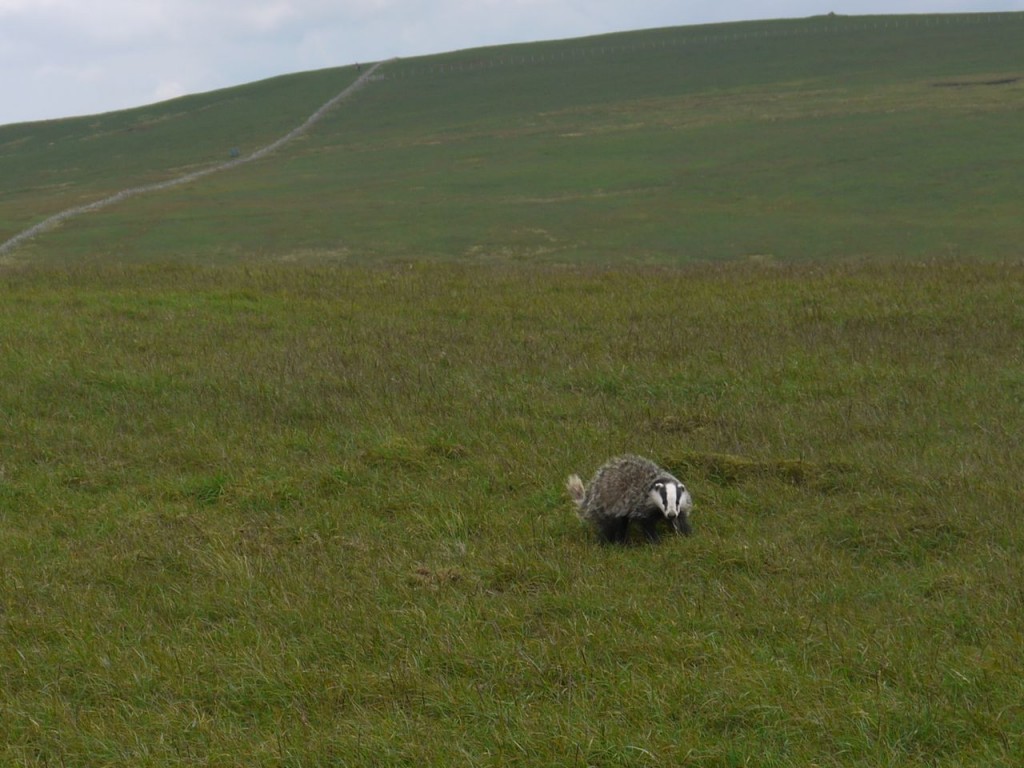
From the Coomb I headed over to Firthhope Rig with some wee birds (wheatears) flitting ahead of me on the fence. Firthhope Rig is another non-descript plateau. While descending I spotted a small mound in the distance which I thought was a cairn but it obviously wasn’t the highest point. Then it moved.
I haven’t seen a badger on the hills before. It watched me much I would watch someone I had seen standing in my garden.
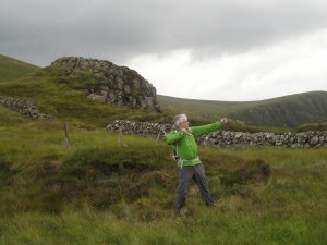
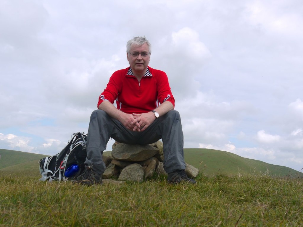
From here I descended to the aptly named Rotten Bottom. This is an area of peat bog which “drains” into Gameshope burn. It sits above Raven Craig and is where a 6,000 year bow was found about 20 years ago. That’s why I’m pretending to be an archer in picture at the start of this post with the rock formation of Games Castle in the background.
I had intended having a go at climbing Games Castle but I was 45 minutes behind schedule with 6 miles still to go so I pressed on. Rotten Bottom proved challenging. Just after the archer photo the rain arrived, light at first but enough to have me stow my camera. While stowing, the rain grew heavier, so I thought I would swap water-resistant for waterproof outers. Then the heavens opened with a mixture of very heavy rain and hail. I hate putting on waterproof trousers when standing in a bog and my trousers were virtually soaked by the time I had the over-trousers on.
In the planning stages I had wondered about skirting the edge of Rotten Bottom, along the top of Raven Craig to avoid the bog, but had decided to head for Games Castle so I could climb it. I don’t know if that would be better but following the fence led to impassable bog. The fence does cross these sections but isn’t robust enough to allow its use as a bridge. I managed by island hopping between peat hags to get across but took a rather indirect route. It was quite a relief to get out of Rotten Bottom and onto the firmer ground of the hill.
I had wondered about taking a more direct route to Cape Law, climbing it north of Stirk Craig but the ground looked pretty boggy all across the valley. My advice for crossing Rotten Bottom would be to head down to Games Castle then pass south of it and stay close to the edge of Raven Craig (providing visibility is good enough to see the edge).
The fence climbing west out of Rotten Bottom reaches the top of an un-named knoll with a spot height at 687m where it meets two other fences. From here I took a 3km detour to Cape Law for nothing more than hill-bagging. I had missed it out, due to a short-cut, on my Blackhope Round walk earlier in the year and its omission had continued to prey on my mind. The walking unfortunately was now a trudge in heavy rain, in full waterproofs with rumbles of thunder in the distance. I planned heading down Whirly Gill if the thunder came closer; it would be a longer walk out but would have me off the exposed hill-tops.
By the time I was back the the un-named hill, spot height 687m, the rain was easing considerably and it looked as though the sky might clear. I had reached the end of my map’s visibility, so took it from its waterproof case, refolded it to show the way ahead, replaced and re-sealed it. I would walk to the stream at Priest Gill and decide whether to head over Saddle Yoke or down Whirly Gill. I had also seen a path heading along the eastern face of Saddle Yoke but it looked to exceed my “have I got the bottle for that” score many times over. I wondered if it was just a geological feature but there is a stile over the fence at Priest Gill so perhaps people do go that way. It clearly wasn’t for me.
I looked at the map several times as I walked along but when I got to Priest Gill I looked down at my map and it was gone. It had been hung round my neck but was no longer there. I took off my rucksack to see if it was tangled up with it, but no joy. Looking back I could see no sign of it. I can only presume that it had been blown off during one of the bursts of rain and wind.
This left me in a bit of a quandary. I could see where Whirly Gill probably was but couldn’t remember if there were any important things to avoid. On the other hand my planned route over Saddle Yoke and Peat Hill followed the fence, and at Peat Hill took the left hand fence, which would keep me away from rock outcroppings and just leave me with about 100m of steep descent at the end. Since I had no map I would have to follow the fence. I was surprised how much the loss of the map upset me.
The one saving grace was that the rain stopped and the sun came out again.
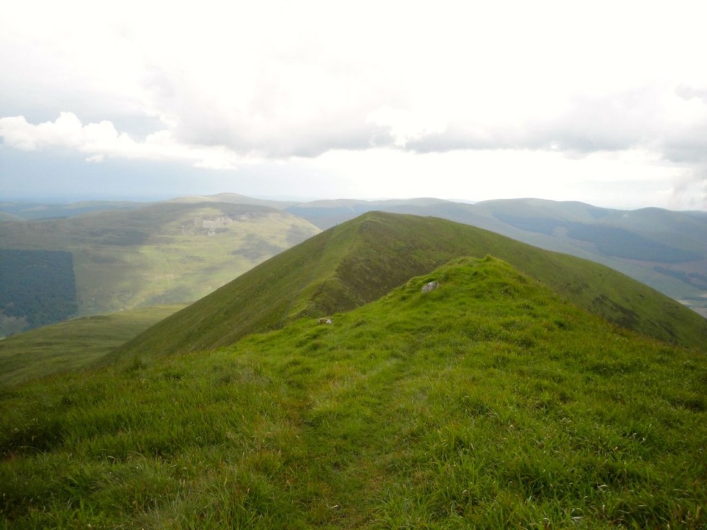
There is a faint track beside the fence heading up to Under Saddle Yoke suggesting that others had come the same way. When I had come off Saddle Yoke previously I had stuck to the ridge line and the ground had been deep tussocks, this was much easier going. Not far below the summit there are a couple of peat hags blocking the way and here the track ends briefly. Presumably walkers take different routes around these.
I had forgotten that Under Saddle Yoke and its companion are conical so it was a pleasant surprise to find that the top I could see was not a false summit. From here I was able to look over to Carrifran Gans and see how steep my approach had been. While climbing Saddle Yoke, in the narrow col, my phone rang, so I edged to a safer section, and dug it out of my rucksack. It was Mrs D’n’S checking that I was OK, since there had been very heavy thunderstorms at home. This call alerted me that my brain’s conversation centre had been shut down so I had a wee break at the top and rebooted my brain (had my last banana.)
There are two ridges leading south off Saddle Yoke, separated by Spoon Burn. I had previously climbed the western ridge but was now going to follow the eastern ridge, Peat Hill. The fence takes quite a dip down the steep upper section of Saddle Yoke and my legs didn’t enjoy the descent. My heart was lifted, however, by the sight of quad bike tracks along the fence on the flatter section below me. I had worried that the final section might be too steep for me but where quad bikes can go, so can I.
At the flatter section, beginning above Rispie Lairs, the quad tracks led both SE and NW suggesting that there might have been a way down into Carrifran Glen, which would have been ideal for me. But without my map I didn’t want to stray from my planned route. So I followed the fence, and the quad tracks, though these were very faint close up and often seemed to disappear and reappear. Eventually I reached the bend in the fence that I remembered but there was only one fence leading from it. Was this the one I was to follow or not? The quad tracks led on, so I followed them and came to a gate near the Spoon Burn.
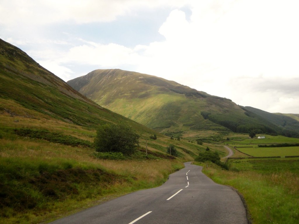
Below the gate were newly planted deciduous trees amidst deep grass, presumably part of the Carrifran Wildwood project. This was the steep section I had worried about. Luckily for me the quad tracks zig-zagged down through the plantation and led me past a sheep fold to the A708.
It was then just half a mile back to the car.
This was quite a strenuous walk initially, the ascent of Carrifran Gans sapped my energy, but beyond that the going was very easy except for Rotten Bottom. But I suppose the name should be a clue. I usually clip my waterproof map case onto my rucksack but had disconnected it to put the case away when the weather was good. Well there’s a lesson there.

