Bengairn
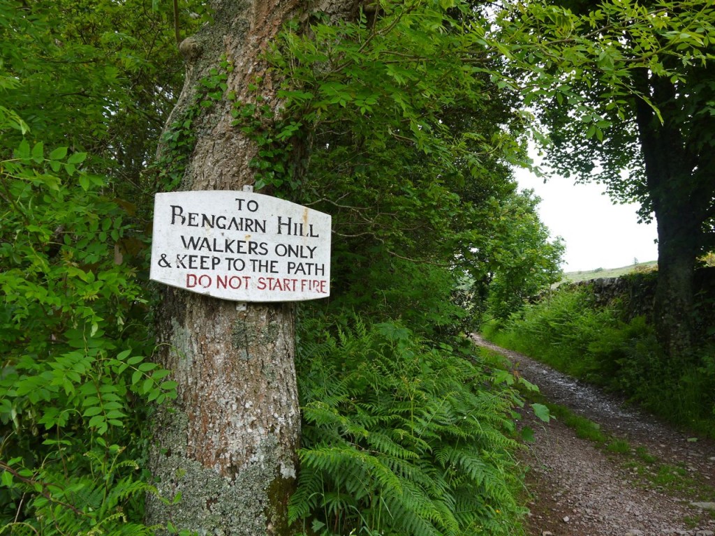
We parked at the Bengairn Hill sign (Do not start fires), on the track from the A711 to Mains of Collin, just above Bengairn Loch. A farm track climbs gently through the trees of Forest Wood, and while walking we spotted a deer. Tempted as you might be to drive further along here, don’t, there is nowhere to park.
After about two thirds of a mile the track comes to a wide gate and emerges from the trees. The gate wasn’t for opening and many rungs were adorned with mud (of the farm variety), to make climbing it more interesting. A sign here states “Footpath to Bengairn 2 miles” but we made it 1.6 miles.
There is a dog-leg in the track here and a branch heads off towards east towards Greenhill, whereas we turned north. The path here runs beside Greenhill wood and the view of Bengairn is obscured by Forest Hill, which is a spur of Bengairn itself. Soon enough though the tip of Bengairn appears.
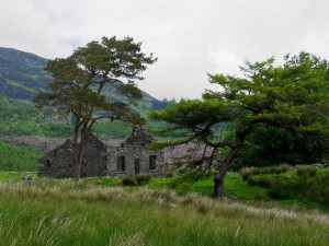
After passing between Greenhill wood on our right and a stand of trees to the left we were in a wide flat area with the ruins of Foresthill Farm. At this point most of Screel is hidden behind Mid Hill, only its southerly section peeping out.
Past the ruins at Foresthill the ground looks to have been cleared and fenced in the past and remains greener than the surrounding area, due mainly I think to the lack of heather. There is a gate between these green fields and the wilder flora of the hill. I say a gate, but it would require quite some effort to open it. It sits amid a lochan in the making.
The wall either side of the gate is augmented by a barbed wire topped fence, so we picked our way from stone to stone then climbed the rickety gate. This took us from firm grassland to squelchy bog.
My original plan had been to head up to the col between Mid Hill and Bengairn but we found, and followed, a faint quad bike track which took us up a more direct route. As is often the case, having taken us off our original route this track then disappeared. Presumably quad bikes usually come up to there then turn back.
From here we headed up a cleft in the hill and wound our way to the summit avoiding the larger puddles.
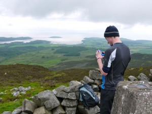
At the summit is a trig pillar surrounded by a shelter, and a large cairn, about the same size as that on Screel. We had chosen to visit in cloudy weather with rain threatening so visibility didn’t allow us to see distant features. There was however a good view of Almorness and the adjacent Islands and we could see the wind farm in the Solway.
Many of the descriptions of walks joining Bengairn and Screel recommend bypassing Mid Hill because it is impassable due to forestry. Much of this has been felled, which tends to make the terrain very difficult but there is a definite forestry track coming over Mid Hill now which could provide an easier connection between the Glen of Screel Burn and Troudale Gill. Today, however, was not a day for exploring.
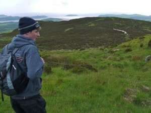
From Bengairn (Beinn na Gcairn, hill of the cairn) we decided to head down over Forest Hill since retracing our steps sounded boring. Forest Hill is a spur of Bengairn made of several heather covered hillocks. We found a track and Conor asked whether I thought it was an animal track or a sign that other humans had come this way. The answer was soon obvious when we saw a sheep jam on the path up ahead.
Forest Hill was mostly easy going and would seem a better way up Bengairn than our original route. It is mostly heather until the lower reaches when there is more fern and eventually a short boggy section. It was wet enough that we came across a frog. We headed down towards a stand of trees at about NX784535, where there is a gate in the wall (another one for climbing rather than opening).
From here we traced our steps along the farm track to the car.
.

